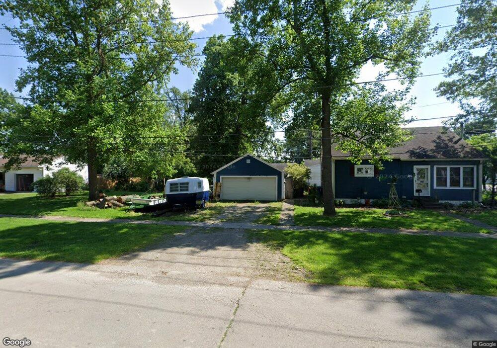
903 Woodland Ave Fremont, OH 43420
Estimated Value: $158,000 - $190,000
3
Beds
1
Bath
1,516
Sq Ft
$114/Sq Ft
Est. Value
About This Home
This home is located at 903 Woodland Ave, Fremont, OH 43420 and is currently estimated at $173,261, approximately $114 per square foot. 903 Woodland Ave is a home located in Sandusky County with nearby schools including Fremont Ross High School, Sacred Heart School, and St. Joseph School.
Ownership History
Date
Name
Owned For
Owner Type
Purchase Details
Closed on
Sep 9, 2004
Sold by
Clark Ruth E and Roob Ruth E
Bought by
Miller Darrell E and Miller Marcia L
Current Estimated Value
Home Financials for this Owner
Home Financials are based on the most recent Mortgage that was taken out on this home.
Original Mortgage
$69,600
Outstanding Balance
$35,147
Interest Rate
6.17%
Mortgage Type
Purchase Money Mortgage
Estimated Equity
$138,114
Purchase Details
Closed on
Aug 1, 1987
Bought by
Miller Darrell E and Miller Marcia L
Create a Home Valuation Report for This Property
The Home Valuation Report is an in-depth analysis detailing your home's value as well as a comparison with similar homes in the area
Home Values in the Area
Average Home Value in this Area
Purchase History
| Date | Buyer | Sale Price | Title Company |
|---|---|---|---|
| Miller Darrell E | $65,250 | -- | |
| Miller Darrell E | $45,000 | -- |
Source: Public Records
Mortgage History
| Date | Status | Borrower | Loan Amount |
|---|---|---|---|
| Open | Miller Darrell E | $69,600 |
Source: Public Records
Tax History Compared to Growth
Tax History
| Year | Tax Paid | Tax Assessment Tax Assessment Total Assessment is a certain percentage of the fair market value that is determined by local assessors to be the total taxable value of land and additions on the property. | Land | Improvement |
|---|---|---|---|---|
| 2024 | $1,835 | $49,810 | $10,430 | $39,380 |
| 2023 | $1,835 | $39,830 | $8,330 | $31,500 |
| 2022 | $1,542 | $39,830 | $8,330 | $31,500 |
| 2021 | $1,592 | $39,830 | $8,330 | $31,500 |
| 2020 | $1,447 | $35,670 | $8,330 | $27,340 |
| 2019 | $1,445 | $35,670 | $8,330 | $27,340 |
| 2018 | $1,448 | $35,670 | $8,330 | $27,340 |
| 2017 | $1,365 | $33,500 | $8,330 | $25,170 |
| 2016 | $1,196 | $33,500 | $8,330 | $25,170 |
| 2015 | $1,176 | $33,500 | $8,330 | $25,170 |
| 2014 | $1,259 | $34,200 | $8,400 | $25,800 |
| 2013 | $1,231 | $34,200 | $8,400 | $25,800 |
Source: Public Records
Map
Nearby Homes
- 0 S Buchanan St
- 600 S Buchanan St
- 925 Woodland St
- 906 Amsden Blvd
- 314 S Collinwood Blvd
- 924 Birdseye Blvd
- 714 E State St
- 800 Lawndale Dr
- 1526 Sunrise Blvd
- 320 Tiffin St
- 230 N Pennsylvania Ave
- 515 S Arch St
- 208 E State St
- 322 4th St
- 1250 Morrison Rd
- 625 Bush Place
- 224 Sandusky Ave Unit 226
- 619 Hayes Ave
- 340 340 Sandusky Ave
- 815 South St
- 611 S Buchanan St
- 613 S Buchanan St
- 521 S Buchanan St
- 917 Woodland Ave
- 880 S Buchanan St
- 615 S Buchanan St
- 517 S Buchanan St
- 536 S Buchanan St
- 916 Woodland Ave
- 438 S Buchanan St
- 538 S Buchanan St
- 436 S Buchanan St
- 925 Woodland Ave
- 918 Woodland Ave
- 513 S Buchanan St
- 434 S Buchanan St
- 924 Woodland St
- 432 S Buchanan St
- 924 Woodland Ave
- 509 S Buchanan St