Estimated Value: $389,000 - $967,000
3
Beds
2
Baths
1,728
Sq Ft
$406/Sq Ft
Est. Value
About This Home
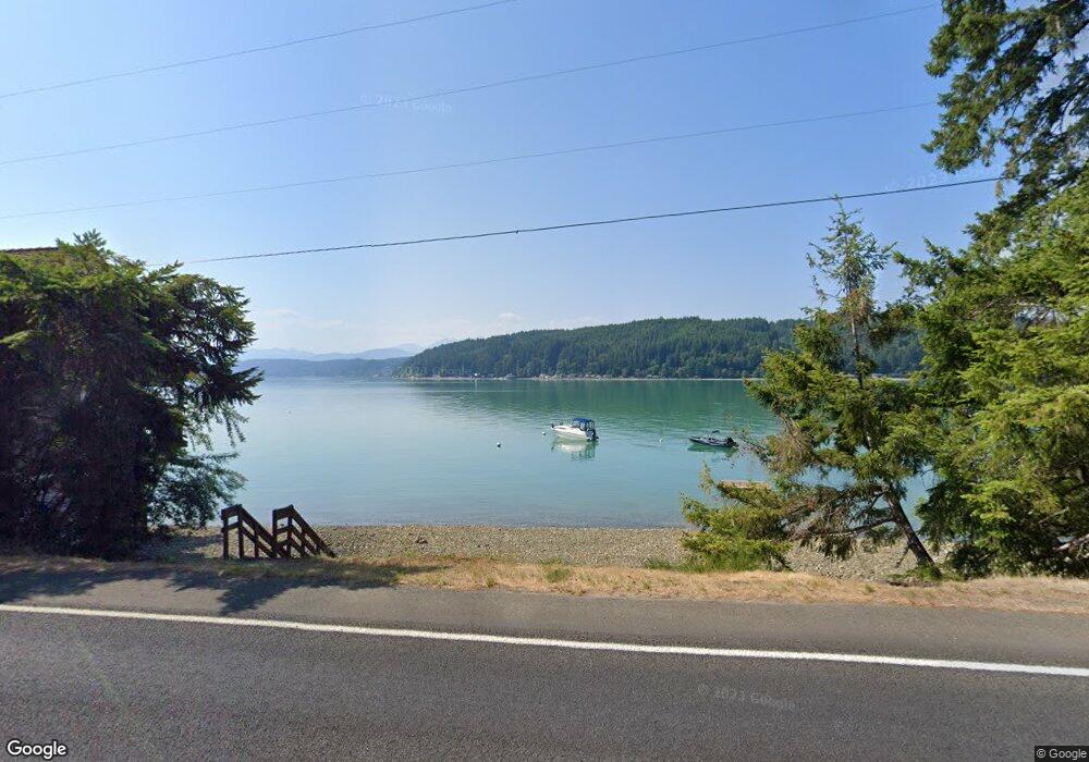
This home is located at 9030 E State Route 106, Union, WA 98592 and is currently estimated at $700,911, approximately $405 per square foot. 9030 E State Route 106 is a home located in Mason County with nearby schools including Hood Canal Elementary/Junior High School.
Ownership History
Date
Name
Owned For
Owner Type
Purchase Details
Closed on
Aug 20, 2010
Sold by
South Shore Enterprises Llc
Bought by
Vandever Charles T and Vandever Laura J
Current Estimated Value
Home Financials for this Owner
Home Financials are based on the most recent Mortgage that was taken out on this home.
Original Mortgage
$132,500
Interest Rate
4.51%
Mortgage Type
Unknown
Purchase Details
Closed on
Nov 30, 2005
Sold by
Krekow Barbara Himmelman
Bought by
South Shore Enterprises Llc
Create a Home Valuation Report for This Property
The Home Valuation Report is an in-depth analysis detailing your home's value as well as a comparison with similar homes in the area
Home Values in the Area
Average Home Value in this Area
Purchase History
| Date | Buyer | Sale Price | Title Company |
|---|---|---|---|
| Vandever Charles T | -- | Mason County Title Ins Co | |
| South Shore Enterprises Llc | $160,000 | Mason County Title Ins Co | |
| Krekow Barbara H | -- | Manson County Title Ins Co |
Source: Public Records
Mortgage History
| Date | Status | Borrower | Loan Amount |
|---|---|---|---|
| Closed | Vandever Charles T | $132,500 |
Source: Public Records
Tax History Compared to Growth
Tax History
| Year | Tax Paid | Tax Assessment Tax Assessment Total Assessment is a certain percentage of the fair market value that is determined by local assessors to be the total taxable value of land and additions on the property. | Land | Improvement |
|---|---|---|---|---|
| 2025 | $3,671 | $654,345 | $70,125 | $584,220 |
| 2023 | $3,671 | $602,115 | $125,225 | $476,890 |
| 2022 | $4,501 | $488,850 | $147,185 | $341,665 |
| 2021 | $4,805 | $488,850 | $147,185 | $341,665 |
| 2020 | $4,921 | $466,920 | $151,630 | $315,290 |
| 2018 | $4,250 | $402,810 | $163,000 | $239,810 |
| 2017 | $3,588 | $402,610 | $162,800 | $239,810 |
| 2016 | $1,505 | $356,115 | $147,585 | $208,530 |
| 2015 | $1,525 | $152,150 | $152,150 | $0 |
| 2014 | -- | $152,150 | $152,150 | $0 |
| 2013 | -- | $75,000 | $75,000 | $0 |
Source: Public Records
Map
Nearby Homes
- 0 E Windstar Rd Unit NWM2436680
- 361 Southridge Dr
- 80 NE Brook Place
- 40 E Susan Ct
- 50 E Blackberry Ln
- 230 E Blackberry Ln
- 0 E Blackberry Ln
- 161 E Blackberry Ln
- 11 E Flaggwood Ln
- 470 E Country Club Dr E
- 0 NE Hurd Rd Unit NWM2408700
- 21 E Eastwood Ln
- 0 E Mason Ave
- 62 Southridge Dr
- 121 E Country Club Dr E
- 280 E Laurel Park
- 971 E Manzanita Dr
- 471 E Jack Pine Ln
- 0 Sprague Ave Unit NWM2432045
- 0 Sprague Ave Unit NWM2432096
- 9021 E State Route 106
- 9000 E State Route 106
- 9000 Washington 106
- 9051 E State Route 106
- 8980 E State Route 106
- 9071 E State Route 106
- 8960 E State Route 106
- 8931 E State Route 106
- 9090 E State Route 106
- 9091 E State Route 106
- 8910 E State Route 106
- 9121 E State Route 106
- 9131 E State Route 106
- 9141 E State Route 106
- 8851 E State Route 106
- 8870 E State Route 106
- 9161 E State Route 106
- 8850 E State Route 106
- 11 E Timber Tides Dr
- 8831 E State Route 106