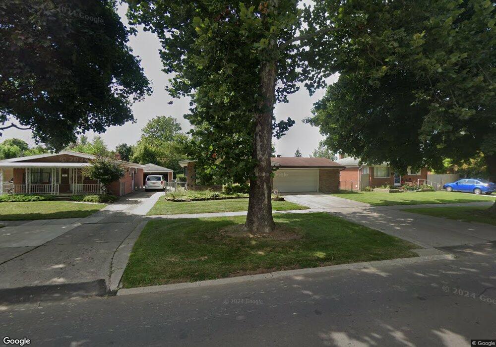
9030 Monroe Blvd Taylor, MI 48180
Estimated Value: $159,253 - $196,000
Studio
--
Bath
975
Sq Ft
$188/Sq Ft
Est. Value
About This Home
This home is located at 9030 Monroe Blvd, Taylor, MI 48180 and is currently estimated at $182,813, approximately $187 per square foot. 9030 Monroe Blvd is a home located in Wayne County with nearby schools including Clarence Randall Elementary School, Robert J. West Middle School, and Taylor High School.
Ownership History
Date
Name
Owned For
Owner Type
Purchase Details
Closed on
Mar 23, 2011
Sold by
Thompson Ruby Ann and Ruby Ann Thompson Revocable Li
Bought by
Thompson Ruby A and Ruby A Thompson Trust
Current Estimated Value
Purchase Details
Closed on
Jul 9, 2003
Sold by
Thompson Ruby A and Thompson Rolland J
Bought by
Thompson Ruby Ann and The Ruby Ann Thompson Revocable Living T
Purchase Details
Closed on
Mar 13, 2003
Sold by
Thompson Ruby Ann and Thompson Rolland J
Bought by
Thompson Ruby Ann and Ruby Ann Thompson Revocable Living Trust
Create a Home Valuation Report for This Property
The Home Valuation Report is an in-depth analysis detailing your home's value as well as a comparison with similar homes in the area
Home Values in the Area
Average Home Value in this Area
Purchase History
| Date | Buyer | Sale Price | Title Company |
|---|---|---|---|
| Thompson Ruby A | -- | None Available | |
| Thompson Ruby Ann | -- | Multiple | |
| Thompson Ruby Ann | -- | Great Lakes Title Of Michiga |
Source: Public Records
Tax History
| Year | Tax Paid | Tax Assessment Tax Assessment Total Assessment is a certain percentage of the fair market value that is determined by local assessors to be the total taxable value of land and additions on the property. | Land | Improvement |
|---|---|---|---|---|
| 2025 | $1,802 | $86,100 | $0 | $0 |
| 2024 | $1,745 | $79,700 | $0 | $0 |
| 2023 | $1,665 | $72,800 | $0 | $0 |
| 2022 | $1,665 | $63,000 | $0 | $0 |
| 2021 | $1,835 | $56,800 | $0 | $0 |
| 2020 | $1,817 | $51,000 | $0 | $0 |
| 2019 | $181,615 | $45,100 | $0 | $0 |
| 2018 | $1,430 | $36,700 | $0 | $0 |
| 2017 | $781 | $35,600 | $0 | $0 |
| 2016 | $1,771 | $34,600 | $0 | $0 |
| 2015 | $3,231 | $32,700 | $0 | $0 |
| 2013 | $3,210 | $32,700 | $0 | $0 |
| 2012 | $1,385 | $32,300 | $9,900 | $22,400 |
Source: Public Records
Map
Nearby Homes
- 22134 Wick Rd
- 22185 Wick Rd
- 8935 Lincoln St
- 8944 William St
- 22311 Wick Rd
- 22137 Haskell St
- 22327 Wick Rd
- 8953 William St
- 9640 Dudley St
- 8411 Monroe Blvd
- 22150 Haig St
- 22726 Haskell St
- 8245 Roosevelt St
- 21059 Wick Rd
- 9560 Sylvester St
- 8071 Roosevelt St
- 9651 Blaty St
- 8236 Margaret St
- 8029 Roosevelt St
- 8019 Roosevelt St
- 9038 Monroe Blvd
- 9018 Monroe Blvd
- 9046 Monroe Blvd
- 9010 Monroe Blvd
- 9054 Monroe Blvd
- 9027 Roosevelt St
- 9035 Roosevelt St
- 9019 Roosevelt St
- 9062 Monroe Blvd
- 9045 Roosevelt St
- 9011 Roosevelt St
- 9003 Roosevelt St
- 9033 Monroe Blvd
- 9055 Roosevelt St
- 9039 Monroe Blvd
- 9070 Monroe Blvd
- 9051 Monroe Blvd
- 9023 Monroe Blvd
- 9057 Monroe Blvd
- 9015 Monroe Blvd
Your Personal Tour Guide
Ask me questions while you tour the home.