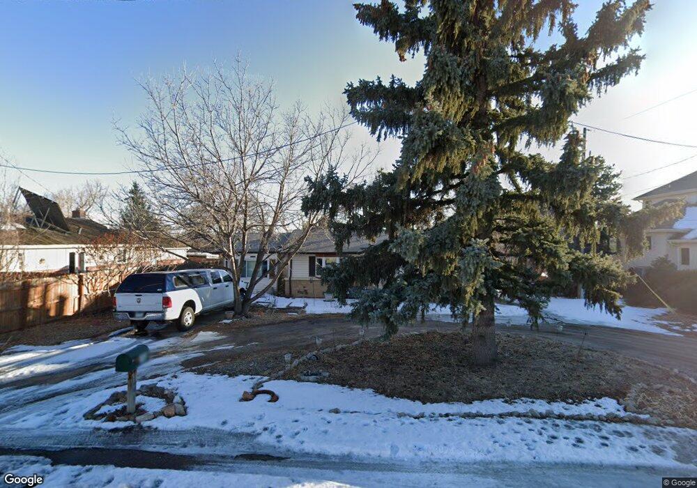
9030 W 65th Ave Arvada, CO 80004
Scenic Heights NeighborhoodEstimated Value: $534,000 - $654,000
3
Beds
1
Bath
1,206
Sq Ft
$490/Sq Ft
Est. Value
About This Home
This home is located at 9030 W 65th Ave, Arvada, CO 80004 and is currently estimated at $591,038, approximately $490 per square foot. 9030 W 65th Ave is a home located in Jefferson County with nearby schools including Secrest Elementary School, Peck Elementary School, and Arvada K-8.
Ownership History
Date
Name
Owned For
Owner Type
Purchase Details
Closed on
Apr 11, 2023
Sold by
Lamb Michael R
Bought by
Michael R Lamb And Cathy L Lamb Trust
Current Estimated Value
Purchase Details
Closed on
Nov 17, 2014
Sold by
Lamb Michael R and Lamb Cathy L
Bought by
Lamb Michael R and Lamb Catherine L
Home Financials for this Owner
Home Financials are based on the most recent Mortgage that was taken out on this home.
Original Mortgage
$163,500
Interest Rate
3.93%
Mortgage Type
New Conventional
Create a Home Valuation Report for This Property
The Home Valuation Report is an in-depth analysis detailing your home's value as well as a comparison with similar homes in the area
Home Values in the Area
Average Home Value in this Area
Purchase History
| Date | Buyer | Sale Price | Title Company |
|---|---|---|---|
| Michael R Lamb And Cathy L Lamb Trust | -- | None Listed On Document | |
| Lamb Michael R | -- | None Available |
Source: Public Records
Mortgage History
| Date | Status | Borrower | Loan Amount |
|---|---|---|---|
| Previous Owner | Lamb Michael R | $163,500 |
Source: Public Records
Tax History Compared to Growth
Tax History
| Year | Tax Paid | Tax Assessment Tax Assessment Total Assessment is a certain percentage of the fair market value that is determined by local assessors to be the total taxable value of land and additions on the property. | Land | Improvement |
|---|---|---|---|---|
| 2024 | $3,184 | $32,822 | $20,250 | $12,572 |
| 2023 | $3,184 | $32,822 | $20,250 | $12,572 |
| 2022 | $2,502 | $25,548 | $14,640 | $10,908 |
| 2021 | $2,543 | $26,283 | $15,061 | $11,222 |
| 2020 | $2,201 | $22,810 | $13,023 | $9,787 |
| 2019 | $2,171 | $22,810 | $13,023 | $9,787 |
| 2018 | $1,901 | $19,411 | $9,127 | $10,284 |
| 2017 | $1,740 | $19,411 | $9,127 | $10,284 |
| 2016 | $1,517 | $15,943 | $6,280 | $9,663 |
| 2015 | $1,304 | $15,943 | $6,280 | $9,663 |
| 2014 | $1,304 | $12,879 | $5,731 | $7,148 |
Source: Public Records
Map
Nearby Homes
- 6455 Field St
- 9075 W 66th Ave
- 9173 W 66th Place
- 6250 Everett Ct Unit E
- 6240 Everett Ct Unit F
- 6240 Everett Ct Unit D
- 6200 Estes St
- 6750 Garrison St
- 6444 Holland Cir
- 9175 Cole Dr
- 6355 Carr St
- 8710 Alta Vista Dr
- 6463 Brentwood St
- 6842 Garland St
- 6409 Brentwood St
- 9656 Rensselaer Dr
- 6580 Independence Way
- 8300 W 67th Ave
- 9667 W 63rd Ave
- 6801 Carr St
- 9050 W 65th Ave
- 6495 Field St
- 6485 Field St
- 9070 W 65th Ave
- 9005 W 65th Ave
- 9001 W 65th Ave
- 9051 W 65th Ave
- 6490 Field St
- 9130 W 65th Ave
- 9071 W 65th Ave
- 6504 Field St
- 9035 W 64th Place
- 9001 W 64th Place
- 9032 W 65th Place
- 6563 Field St
- 8968 W 65th Ave
- 9052 W 65th Place
- 9075 W 64th Place
- 8931 W 65th Ave
- 9051 W 64th Place