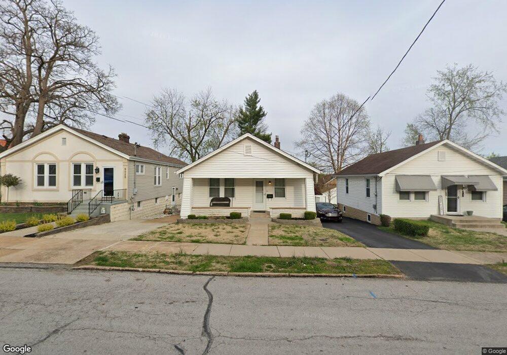
9032 Pilot Ave Saint Louis, MO 63123
Estimated Value: $182,000 - $226,000
2
Beds
1
Bath
768
Sq Ft
$254/Sq Ft
Est. Value
About This Home
This home is located at 9032 Pilot Ave, Saint Louis, MO 63123 and is currently estimated at $194,811, approximately $253 per square foot. 9032 Pilot Ave is a home located in St. Louis County with nearby schools including Mesnier Primary School, Gotsch Intermediate School, and Rogers Middle School.
Ownership History
Date
Name
Owned For
Owner Type
Purchase Details
Closed on
Aug 21, 2024
Sold by
Douglas Massie R and Douglas Regina M
Bought by
Homes4generations Llc
Current Estimated Value
Purchase Details
Closed on
Dec 29, 2010
Sold by
Massie R Douglas and Massie Regina M
Bought by
Revoc Massie R and Revoc Regina
Purchase Details
Closed on
Aug 27, 2010
Sold by
Massie Robert L and Massie Ruth M
Bought by
Massie Robert D and Massie Regina M
Create a Home Valuation Report for This Property
The Home Valuation Report is an in-depth analysis detailing your home's value as well as a comparison with similar homes in the area
Home Values in the Area
Average Home Value in this Area
Purchase History
We collect this data history from publicly available records. To have your information removed, we recommend requesting removal directly through your county’s website.
| Date | Buyer | Sale Price | Title Company |
|---|---|---|---|
| Homes4generations Llc | -- | None Listed On Document | |
| Revoc Massie R | -- | None Available | |
| Massie Robert D | -- | None Available |
Source: Public Records
Tax History
| Year | Tax Paid | Tax Assessment Tax Assessment Total Assessment is a certain percentage of the fair market value that is determined by local assessors to be the total taxable value of land and additions on the property. | Land | Improvement |
|---|---|---|---|---|
| 2025 | $2,333 | $32,250 | $13,360 | $18,890 |
| 2024 | $2,333 | $28,640 | $9,540 | $19,100 |
| 2023 | $2,256 | $28,640 | $9,540 | $19,100 |
| 2022 | $2,243 | $24,400 | $9,540 | $14,860 |
| 2021 | $2,048 | $24,400 | $9,540 | $14,860 |
| 2020 | $1,870 | $20,770 | $9,520 | $11,250 |
| 2019 | $1,867 | $20,770 | $9,520 | $11,250 |
| 2018 | $1,668 | $16,380 | $6,670 | $9,710 |
| 2017 | $1,658 | $16,380 | $6,670 | $9,710 |
| 2016 | $1,527 | $16,020 | $4,390 | $11,630 |
| 2015 | $1,533 | $16,020 | $4,390 | $11,630 |
| 2014 | -- | $15,470 | $4,620 | $10,850 |
Source: Public Records
Map
Nearby Homes
- 9133 Overton Dr
- 8518 Pilot Ave
- 8506 Mathilda Ave
- 9108 Fayette Ave
- 9109 Maureen Ln
- 4715 Koglin Ct
- 5138 Lode Ave
- 8537 Vasel Ave
- 8412 Weber Trail Dr
- 5645 Welmering Dr
- 5315 Vine Ave
- 8348 Vasel Dr
- 4800 Cayuga Dr
- 8636 Charlton Ln
- 8321 Weber Terrace Dr
- 8615 Charlton Ln
- 9117 Tiber Ct
- 4475 Cayuga Dr
- 4469 Mohegan Dr
- 9418 Radio Dr
- 9034 Pilot Ave
- 9028 Pilot Ave
- 9036 Pilot Ave
- 9026 Pilot Ave
- 9038 Pilot Ave
- 9035 Kathleen Ave
- 9037 Kathleen Ave
- 9033 Kathleen Ave
- 9024 Pilot Ave
- 9039 Kathleen Ave
- 9031 Kathleen Ave
- 9041 Kathleen Ave
- 9031 Pilot Ave
- 9029 Kathleen Ave
- 9027 Pilot Ave
- 5001 Weber Rd
- 9022 Pilot Ave
- 9043 Kathleen Ave
- 5005 Weber Rd
- 9035 Pilot Ave
Your Personal Tour Guide
Ask me questions while you tour the home.