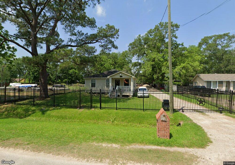
9033 Camay Dr Houston, TX 77016
Trinity-Houston Gardens NeighborhoodEstimated Value: $201,000 - $220,000
3
Beds
2
Baths
1,575
Sq Ft
$133/Sq Ft
Est. Value
About This Home
This home is located at 9033 Camay Dr, Houston, TX 77016 and is currently estimated at $209,471, approximately $132 per square foot. 9033 Camay Dr is a home located in Harris County with nearby schools including Felix Cook Jr. Elementary School, Key Middle, and Kashmere High School.
Ownership History
Date
Name
Owned For
Owner Type
Purchase Details
Closed on
Jan 19, 2007
Sold by
Muhammad Aaleayah and Muhammad Ameerah
Bought by
Estrada Roque
Current Estimated Value
Home Financials for this Owner
Home Financials are based on the most recent Mortgage that was taken out on this home.
Original Mortgage
$97,000
Outstanding Balance
$57,579
Interest Rate
6.09%
Mortgage Type
Purchase Money Mortgage
Estimated Equity
$151,892
Purchase Details
Closed on
Dec 11, 2006
Sold by
Burns Evelyn
Bought by
Muhammad Aaleayah and Muhammad Ameerah
Home Financials for this Owner
Home Financials are based on the most recent Mortgage that was taken out on this home.
Original Mortgage
$97,000
Outstanding Balance
$57,579
Interest Rate
6.09%
Mortgage Type
Purchase Money Mortgage
Estimated Equity
$151,892
Purchase Details
Closed on
Feb 5, 2002
Sold by
Jones Ken
Bought by
Harris County
Create a Home Valuation Report for This Property
The Home Valuation Report is an in-depth analysis detailing your home's value as well as a comparison with similar homes in the area
Home Values in the Area
Average Home Value in this Area
Purchase History
| Date | Buyer | Sale Price | Title Company |
|---|---|---|---|
| Estrada Roque | -- | None Available | |
| Muhammad Aaleayah | $9,500 | None Available | |
| Harris County | -- | -- |
Source: Public Records
Mortgage History
| Date | Status | Borrower | Loan Amount |
|---|---|---|---|
| Open | Estrada Roque | $97,000 |
Source: Public Records
Tax History Compared to Growth
Tax History
| Year | Tax Paid | Tax Assessment Tax Assessment Total Assessment is a certain percentage of the fair market value that is determined by local assessors to be the total taxable value of land and additions on the property. | Land | Improvement |
|---|---|---|---|---|
| 2025 | $151 | $181,059 | $75,188 | $105,871 |
| 2024 | $151 | $181,059 | $75,188 | $105,871 |
| 2023 | $151 | $163,561 | $56,391 | $107,170 |
| 2022 | $2,887 | $131,093 | $37,594 | $93,499 |
| 2021 | $2,409 | $103,375 | $18,797 | $84,578 |
| 2020 | $2,503 | $103,375 | $18,797 | $84,578 |
| 2019 | $2,616 | $103,375 | $18,797 | $84,578 |
| 2018 | $2,510 | $99,205 | $13,534 | $85,671 |
| 2017 | $2,508 | $99,205 | $13,534 | $85,671 |
| 2016 | $2,508 | $99,205 | $13,534 | $85,671 |
| 2015 | $1,975 | $76,823 | $13,534 | $63,289 |
| 2014 | $1,975 | $76,823 | $13,534 | $63,289 |
Source: Public Records
Map
Nearby Homes
- 8504 Shady Dr
- 9009 Compton St
- 8914 Lanewood Dr
- 9205 & 9207 Spaulding St
- 6415 Laura Koppe Rd
- 6226 E Tidwell Rd
- 6005 Laura Koppe Rd
- 6012 Laura Koppe Rd
- 6513 Laura Koppe Rd
- 8716 Allwood St
- 9410 Dandy St
- 6206 Antha St
- 9227 Homestead Rd
- 5009 Tidwell Rd
- 6110 Tidwell Rd
- 9118 Sandra St Unit A and B
- 8636 Allwood St
- 9317 Homestead Rd
- 8928 Homestead Rd
- 8700 Lanewood Dr