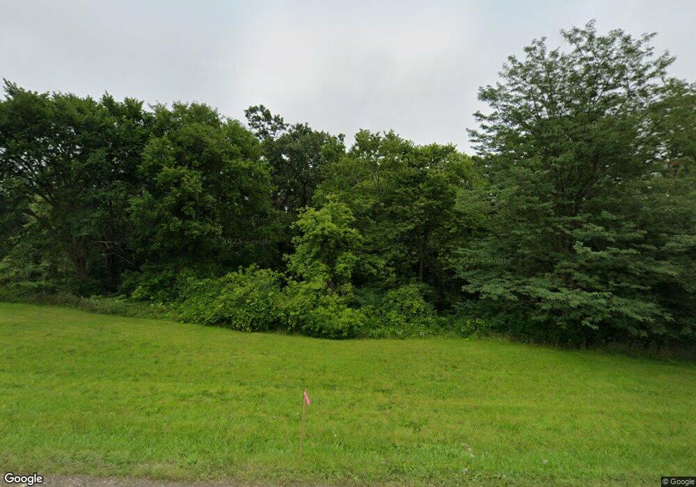
9033 Il Route 26 N Freeport, IL 61032
Estimated Value: $351,000 - $593,590
4
Beds
4
Baths
3,662
Sq Ft
$128/Sq Ft
Est. Value
About This Home
This home is located at 9033 Il Route 26 N, Freeport, IL 61032 and is currently estimated at $469,530, approximately $128 per square foot. 9033 Il Route 26 N is a home located in Stephenson County with nearby schools including Orangeville Elementary School, Orangeville Junior High School, and Orangeville High School.
Ownership History
Date
Name
Owned For
Owner Type
Purchase Details
Closed on
Dec 17, 2020
Sold by
Olsen Martin Paul
Bought by
Smalley Theodore R and Smalley Susan E
Current Estimated Value
Purchase Details
Closed on
Feb 15, 2019
Sold by
Young Christopher P
Bought by
Smalley Theodore R and Smalley Susan E
Purchase Details
Closed on
Aug 23, 2004
Create a Home Valuation Report for This Property
The Home Valuation Report is an in-depth analysis detailing your home's value as well as a comparison with similar homes in the area
Home Values in the Area
Average Home Value in this Area
Purchase History
| Date | Buyer | Sale Price | Title Company |
|---|---|---|---|
| Smalley Theodore R | $380,000 | -- | |
| Smalley Theodore R | $322,000 | -- | |
| -- | $25,000 | -- |
Source: Public Records
Tax History Compared to Growth
Tax History
| Year | Tax Paid | Tax Assessment Tax Assessment Total Assessment is a certain percentage of the fair market value that is determined by local assessors to be the total taxable value of land and additions on the property. | Land | Improvement |
|---|---|---|---|---|
| 2024 | $12,281 | $131,830 | $14,686 | $117,144 |
| 2023 | $11,926 | $131,830 | $14,686 | $117,144 |
| 2022 | $11,652 | $116,662 | $13,607 | $103,055 |
| 2021 | $9,483 | $113,165 | $13,199 | $99,966 |
| 2020 | $9,996 | $113,165 | $13,199 | $99,966 |
| 2019 | $9,478 | $110,946 | $12,940 | $98,006 |
| 2018 | $9,339 | $107,977 | $12,594 | $95,383 |
| 2017 | $9,188 | $105,199 | $12,594 | $92,605 |
| 2016 | $9,039 | $105,199 | $12,594 | $92,605 |
| 2015 | $9,143 | $104,416 | $12,500 | $91,916 |
| 2013 | $9,303 | $110,483 | $13,222 | $97,261 |
Source: Public Records
Map
Nearby Homes
- TBD Illinois Route 26
- 202 S Main St
- 312 E Buckeye Rd
- 106 W High St
- 3 Highview Dr
- 217 Hancock Dr
- 312 Hillside Ct
- 433 Bostian Ct
- TBD W Richland Rd
- 4592 W Mcconnell Rd
- 2916 Pleasant St
- 5870
- 2472 W Red Oak Rd
- 2110 E Angle Rd
- 140 E Walnut St
- 135 Field Crest Ln Unit 145 Feild crest ln
- 000 W Beaver Rd
- 435 Sunnyside Dr
- 12150 N Damascus Rd
- 12934 N Damascus Rd
- 9033 Il Route 26 N
- 9033 Il Route 26 N
- 9995 Il Route 26 N
- 9033 Il Route 26 N
- 9273 Il Route 26 N
- 9033 Illinois 26
- 9602 N Shady View Rd
- 1270 W Brush Creek Rd
- 9337 N Shady View Rd
- 1098 W Brush Creek Rd
- 1400 W Brush Creek Rd
- 9385 N Bellview Rd
- 10062 Il Route 26 N
- 9507 N Bellview Rd
- 9669 N Bellview Rd
- 10086 Il Route 26 N
- 10086 Il Route 26 N Unit ROCKY HILL ROAD
- 952 W Brush Creek Rd
- 9347 N Bellview Rd
- 9665 N Bellview Rd
