9035 Brandy Trace Ln Stokesdale, NC 27357
Estimated Value: $216,690 - $240,000
--
Bed
--
Bath
1,120
Sq Ft
$205/Sq Ft
Est. Value
About This Home
This home is located at 9035 Brandy Trace Ln, Stokesdale, NC 27357 and is currently estimated at $229,923, approximately $205 per square foot. 9035 Brandy Trace Ln is a home located in Rockingham County with nearby schools including Huntsville Elementary School, John W. Dillard Academy, and Western Rockingham Middle School.
Ownership History
Date
Name
Owned For
Owner Type
Purchase Details
Closed on
Jun 15, 2005
Sold by
Suntrust Bank
Bought by
Bailey Jeremy Lee
Current Estimated Value
Home Financials for this Owner
Home Financials are based on the most recent Mortgage that was taken out on this home.
Original Mortgage
$63,000
Outstanding Balance
$32,593
Interest Rate
5.62%
Mortgage Type
Construction
Estimated Equity
$197,330
Create a Home Valuation Report for This Property
The Home Valuation Report is an in-depth analysis detailing your home's value as well as a comparison with similar homes in the area
Home Values in the Area
Average Home Value in this Area
Purchase History
| Date | Buyer | Sale Price | Title Company |
|---|---|---|---|
| Bailey Jeremy Lee | $28,000 | None Available |
Source: Public Records
Mortgage History
| Date | Status | Borrower | Loan Amount |
|---|---|---|---|
| Open | Bailey Jeremy Lee | $63,000 |
Source: Public Records
Tax History Compared to Growth
Tax History
| Year | Tax Paid | Tax Assessment Tax Assessment Total Assessment is a certain percentage of the fair market value that is determined by local assessors to be the total taxable value of land and additions on the property. | Land | Improvement |
|---|---|---|---|---|
| 2025 | $1,054 | $149,453 | $19,483 | $129,970 |
| 2024 | $1,030 | $149,453 | $19,483 | $129,970 |
| 2023 | $1,030 | $76,369 | $11,867 | $64,502 |
| 2022 | $607 | $76,369 | $11,867 | $64,502 |
| 2021 | $607 | $76,369 | $11,867 | $64,502 |
| 2020 | $607 | $76,369 | $11,867 | $64,502 |
| 2019 | $607 | $76,369 | $11,867 | $64,502 |
| 2018 | $593 | $74,476 | $20,627 | $53,849 |
| 2017 | $593 | $74,476 | $20,627 | $53,849 |
| 2015 | $599 | $74,476 | $20,627 | $53,849 |
| 2014 | -- | $74,476 | $20,627 | $53,849 |
Source: Public Records
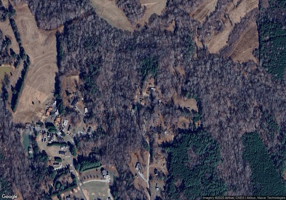
Map
Nearby Homes
- Holden 2 Plan at Belews Ridge - Single Family Homes
- Redbud Plan at Belews Ridge - Single Family Homes
- Trillium Plan at Belews Ridge - Single Family Homes
- Dogwood Plan at Belews Ridge - Single Family Homes
- Bellwood Plan at Belews Ridge - Single Family Homes
- Jessamine Plan at Belews Ridge - Single Family Homes
- 2019 Dock Ridge Dr
- 8840 Belews Ridge Rd
- 2001 Dock Ridge Dr
- 111 Jay Vonne Trail
- 485 Saddlebred Loop
- 450 Crossing Creek Dr
- 344 Saddlebred Loop
- 9211 US Highway 158
- 8295 Branson Rd
- 308 Lake Point Ln
- 344 Lake Point Ln
- 4035 Ellisboro Rd
- 7962 Boathouse Way
- 8407 Stokesdale St
- 9030 Brandy Trace Ln
- 9054 Osage Rd
- 8618 Brandy Trace Ln
- 8736 Fulp Rd
- 9035 Fulp Rd
- 8734 Fulp Rd
- 8745 Fulp Rd
- 8730 Fulp Rd
- 8610 Brandy Trace Ln
- 8739 Fulp Rd
- 8735 Fulp Rd
- 8722 Fulp Rd
- 260 Lemontree Trail
- 8741 Fulp Rd
- 8601 Fulp Rd
- 8720 Fulp Rd
- 8587 Fulp Rd
- 8906 Osage Rd
- 245 Lemontree Trail
- 8900 Osage Rd