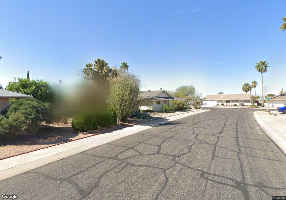
9035 N 102nd Dr Sun City, AZ 85351
Estimated Value: $233,774 - $290,000
--
Bed
2
Baths
1,311
Sq Ft
$209/Sq Ft
Est. Value
About This Home
This home is located at 9035 N 102nd Dr, Sun City, AZ 85351 and is currently estimated at $273,694, approximately $208 per square foot. 9035 N 102nd Dr is a home located in Maricopa County with nearby schools including Ombudsman - Northwest Charter and Peoria Accelerated High School.
Ownership History
Date
Name
Owned For
Owner Type
Purchase Details
Closed on
May 16, 2024
Sold by
Reid Richard D
Bought by
Reid Family Living Trust and Reid
Current Estimated Value
Purchase Details
Closed on
May 3, 2024
Sold by
Reid Family Living Trust and Reid Richard D
Bought by
Reid Richard D
Purchase Details
Closed on
Jun 17, 2003
Sold by
Reid Family Living Trust and Reid Richard D
Bought by
Reid Richard D and Reid Dorothy Jean
Purchase Details
Closed on
Jun 26, 2000
Sold by
Baker Cheryl M
Bought by
Reid Richard D and Reid Dorothy Jean
Home Financials for this Owner
Home Financials are based on the most recent Mortgage that was taken out on this home.
Original Mortgage
$79,200
Interest Rate
8.55%
Mortgage Type
New Conventional
Purchase Details
Closed on
Oct 18, 1999
Sold by
Luci Elsa and Luci Elsa L
Bought by
Baker Cheryl M
Create a Home Valuation Report for This Property
The Home Valuation Report is an in-depth analysis detailing your home's value as well as a comparison with similar homes in the area
Home Values in the Area
Average Home Value in this Area
Purchase History
| Date | Buyer | Sale Price | Title Company |
|---|---|---|---|
| Reid Family Living Trust | -- | None Listed On Document | |
| Reid Richard D | -- | None Listed On Document | |
| Reid Richard D | -- | -- | |
| Reid Richard D | $99,000 | First American Title | |
| Baker Cheryl M | $78,000 | First American Title |
Source: Public Records
Mortgage History
| Date | Status | Borrower | Loan Amount |
|---|---|---|---|
| Previous Owner | Reid Richard D | $79,200 |
Source: Public Records
Tax History Compared to Growth
Tax History
| Year | Tax Paid | Tax Assessment Tax Assessment Total Assessment is a certain percentage of the fair market value that is determined by local assessors to be the total taxable value of land and additions on the property. | Land | Improvement |
|---|---|---|---|---|
| 2025 | $948 | $11,665 | -- | -- |
| 2024 | $854 | $11,109 | -- | -- |
| 2023 | $854 | $20,630 | $4,120 | $16,510 |
| 2022 | $795 | $16,120 | $3,220 | $12,900 |
| 2021 | $821 | $15,010 | $3,000 | $12,010 |
| 2020 | $799 | $13,130 | $2,620 | $10,510 |
| 2019 | $796 | $12,220 | $2,440 | $9,780 |
| 2018 | $769 | $11,120 | $2,220 | $8,900 |
| 2017 | $740 | $9,910 | $1,980 | $7,930 |
| 2016 | $388 | $9,320 | $1,860 | $7,460 |
| 2015 | $661 | $8,380 | $1,670 | $6,710 |
Source: Public Records
Map
Nearby Homes
- 10201 W Caron Dr
- 10326 W Caron Dr
- 10221 W Puget Ave
- 10001 W Caron Dr Unit 8
- 10014 W Mission Ln
- 10109 W Mountain View Rd
- 9815 N 103rd Ave
- 10022 W Mountain View Rd
- 9925 W Mountain View Rd Unit 27
- 9915 W Mountain View Rd
- 10316 W Salem Dr Unit 6D
- 8601 N 103rd Ave Unit 313
- 8601 N 103rd Ave Unit 271
- 8601 N 103rd Ave Unit 58
- 8601 N 103rd Ave Unit 72
- 8803 N 105th Dr
- 9834 N Balboa Dr
- 10166 W Cinnebar Ave
- 10302 W Cheryl Dr Unit D
- 10131 W Cheryl Dr Unit 6D
- 9027 N 102nd Dr
- 9040 N 102nd Ave
- 9032 N 102nd Ave
- 9032 N 102nd Dr
- 9032 N 102nd Dr
- 10218 W Kelso Dr
- 9021 N 102nd Dr Unit 8
- 9038 N 102nd Dr
- 9026 N 102nd Dr
- 9026 N 102nd Dr
- 10210 W Kelso Dr Unit 8
- 9044 N 102nd Dr
- 10202 W Kelso Dr
- 10212 W Caron Dr
- 9022 N 102nd Dr
- 9050 N 102nd Dr Unit 8
- 10208 W Caron Dr
- 10225 W Mission Ln
- 9037 N 103rd Ave
- 9039 N 102nd Dr