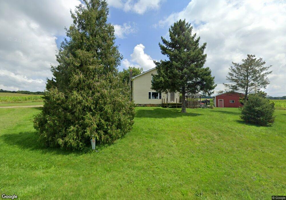
9035 Springport Rd Eaton Rapids, MI 48827
Estimated Value: $207,886 - $248,000
About This Home
This home is located at 9035 Springport Rd, Eaton Rapids, MI 48827 and is currently estimated at $225,972, approximately $149 per square foot. 9035 Springport Rd is a home located in Eaton County with nearby schools including Lockwood Elementary School, Greyhound Intermediate School, and Eaton Rapids Middle School.
Ownership History
We collect this data history from publicly available records. To have your information removed, we recommend requesting removal directly through your county’s website.
Purchase Details
Home Financials for this Owner
Home Financials are based on the most recent Mortgage that was taken out on this home.Purchase Details
Purchase History
We collect this data history from publicly available records. To have your information removed, we recommend requesting removal directly through your county’s website.
| Date | Buyer | Sale Price | Title Company |
|---|---|---|---|
| -- | None Listed On Document | ||
| $30,000 | None Listed On Document | ||
| -- | None Available |
Mortgage History
We collect this data history from publicly available records. To have your information removed, we recommend requesting removal directly through your county’s website.
| Date | Status | Borrower | Loan Amount |
|---|---|---|---|
| Open | $84,000 | ||
| Closed | $0 |
Tax History
We collect this data history from publicly available records. To have your information removed, we recommend requesting removal directly through your county’s website.
| Year | Tax Paid | Tax Assessment Tax Assessment Total Assessment is a certain percentage of the fair market value that is determined by local assessors to be the total taxable value of land and additions on the property. | Land | Improvement |
|---|---|---|---|---|
| 2026 | $1,353 | $91,900 | $0 | $0 |
| 2025 | $490 | $89,900 | $0 | $0 |
| 2024 | $476 | $86,900 | $0 | $0 |
| 2023 | $453 | $75,600 | $0 | $0 |
| 2022 | $1,169 | $66,300 | $0 | $0 |
| 2021 | $1,102 | $61,800 | $0 | $0 |
| 2020 | $1,088 | $57,700 | $0 | $0 |
| 2019 | $1,073 | $55,300 | $0 | $0 |
| 2018 | $1,049 | $54,352 | $0 | $0 |
| 2017 | $993 | $54,485 | $0 | $0 |
| 2016 | -- | $52,155 | $0 | $0 |
| 2015 | -- | $52,429 | $0 | $0 |
| 2014 | -- | $33,205 | $0 | $0 |
| 2013 | -- | $49,385 | $0 | $0 |
Map
- 7800 Markle Hwy
- 12793 Gibbs Rd
- 5371 Wolf Hwy
- 9733 Blue Heron
- 9537 S Clinton Trail
- 8840 Houston Rd
- 11765 Crawford Rd
- 22987 29 1 2 Mile Rd
- 5867 E Hillcrest Dr
- v/l Holibaugh Rd
- 12390 Holibaugh Rd
- 4074 Apple Dr
- 162 Monroe St
- 325 Grand St
- 330 Grand St
- 220 Grand St
- 8350 E Spicerville Hwy
- 29255 S Dr N
- 29510 S Dr N
- 5647 S Royston Rd
- 9254 Springport Rd
- 8773 Springport Rd
- 9386 Springport Rd
- 9300 Springport Rd
- 9363 Springport Rd
- 9363 Springport Rd Unit SPRINGPORT
- 9363 Springport Rd
- 9386 Springport Rd
- 9300 Springport Rd
- 6872 Halsey Rd
- 7039 Halsey Rd
- 6985 Halsey Rd
- 7067 Halsey Rd
- 9454 Springport Rd
- 7520 Markle Hwy
- 8660 Springport Rd
- 8591 Springport Rd
- 8497 Springport Rd
- 9509 Springport Rd
- 6647 Halsey Rd
Ask me questions while you tour the home.