Estimated Value: $162,258 - $216,000
Studio
--
Bath
1,040
Sq Ft
$188/Sq Ft
Est. Value
About This Home
This home is located at 9038 Forrest Pine Dr, Clio, MI 48420 and is currently estimated at $195,315, approximately $187 per square foot. 9038 Forrest Pine Dr is a home located in Genesee County with nearby schools including George R. Carter Middle School and Clio Area High School.
Ownership History
Date
Name
Owned For
Owner Type
Purchase Details
Closed on
Mar 13, 2024
Sold by
Carter Timothy A and Carter Kathleen
Bought by
Carter Timothy A and Carter Kathleen
Current Estimated Value
Purchase Details
Closed on
Oct 10, 2019
Sold by
Overfield Kristen Renee and Carter Timothy Allen
Bought by
Carter Timothy Allen and Carter Kathleen Julia
Purchase Details
Closed on
Nov 15, 2006
Sold by
Carter Timothy A and Carter Kathleen
Bought by
Carter Timothy A and Carter Kathleen
Purchase Details
Closed on
Jun 30, 2006
Sold by
Carter Kathleen and Maxwell Kathleen
Bought by
Carter Timothy A and Carter Kathleen
Home Financials for this Owner
Home Financials are based on the most recent Mortgage that was taken out on this home.
Original Mortgage
$79,500
Interest Rate
6.12%
Mortgage Type
New Conventional
Create a Home Valuation Report for This Property
The Home Valuation Report is an in-depth analysis detailing your home's value as well as a comparison with similar homes in the area
Home Values in the Area
Average Home Value in this Area
Purchase History
| Date | Buyer | Sale Price | Title Company |
|---|---|---|---|
| Carter Timothy A | -- | None Listed On Document | |
| Carter Timothy Allen | -- | None Available | |
| Carter Timothy A | -- | None Available | |
| Carter Timothy A | -- | Title Source Inc |
Source: Public Records
Mortgage History
| Date | Status | Borrower | Loan Amount |
|---|---|---|---|
| Previous Owner | Carter Timothy A | $79,500 |
Source: Public Records
Tax History
| Year | Tax Paid | Tax Assessment Tax Assessment Total Assessment is a certain percentage of the fair market value that is determined by local assessors to be the total taxable value of land and additions on the property. | Land | Improvement |
|---|---|---|---|---|
| 2025 | $1,802 | $77,200 | $0 | $0 |
| 2024 | $1,147 | $73,800 | $0 | $0 |
| 2023 | $1,093 | $70,700 | $0 | $0 |
| 2022 | $1,961 | $66,000 | $0 | $0 |
| 2021 | $1,557 | $59,700 | $0 | $0 |
| 2020 | $631 | $57,000 | $0 | $0 |
| 2019 | $575 | $50,200 | $0 | $0 |
| 2018 | $2,069 | $49,100 | $0 | $0 |
| 2017 | $2,007 | $49,100 | $0 | $0 |
| 2016 | $1,993 | $41,500 | $0 | $0 |
| 2015 | $1,318 | $39,900 | $0 | $0 |
| 2012 | -- | $37,600 | $37,600 | $0 |
Source: Public Records
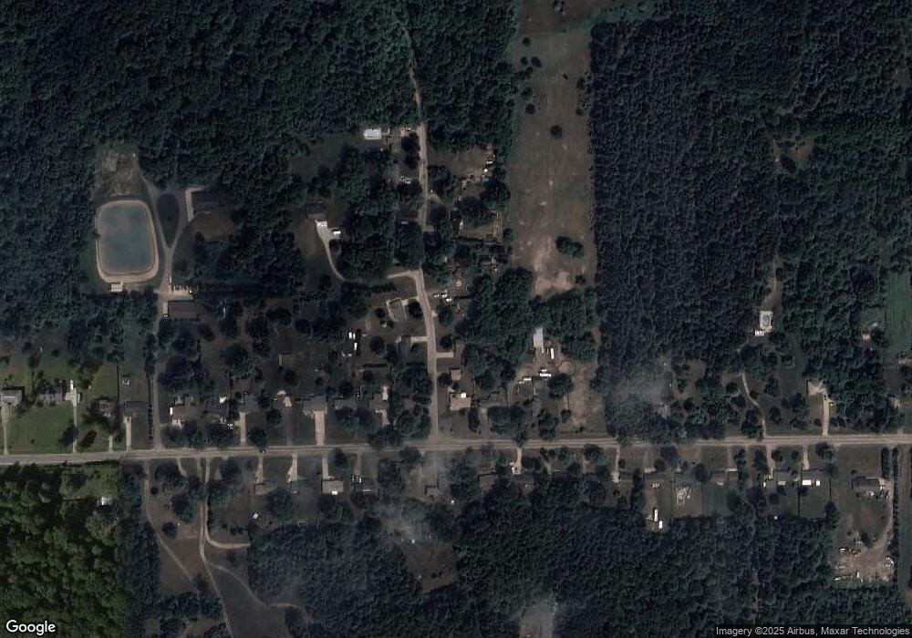
Map
Nearby Homes
- 5430 W Frances Rd
- 7250 Frances Rd
- 6270 Tommy Trail
- 7267 109th St
- 7181 W Mount Morris Rd
- 8171 N Linden Rd
- 7452 Dodge Rd
- 4449 W Frances Rd
- 7151 N Elms Rd
- 5186 W Wilson Rd
- 7067 W Stanley Rd
- 4020 W Frances Rd
- 7410 Wilson Rd
- 5012 W Stanley Rd
- 4500 W Wilson Rd
- 9222 N Mckinley Rd
- 9061 N Mckinley Rd
- 11290 N Linden Rd
- 169 Apollo Cir Unit 169
- 8522 Tim Tam Trail
- 9048 Forrest Pine Dr
- 9026 Forrest Pine Dr
- 9062 Forrest Pine Dr
- 6260 W Frances Rd
- 6270 W Frances Rd
- 9043 Forrest Pine Dr
- 9027 Forrest Pine Dr
- 9072 Forrest Pine Dr
- 6290 W Frances Rd
- 9063 Forrest Pine Dr
- 6305 W Frances Rd
- 6300 W Frances Rd
- 9073 Forrest Pine Dr
- 6310 W Frances Rd
- 9080 Forrest Pine Dr
- 6315 W Frances Rd
- 9087 Forrest Pine Dr
- 6320 W Frances Rd
- 9053 Forrest Pine Dr
- 6325 W Frances Rd
Your Personal Tour Guide
Ask me questions while you tour the home.