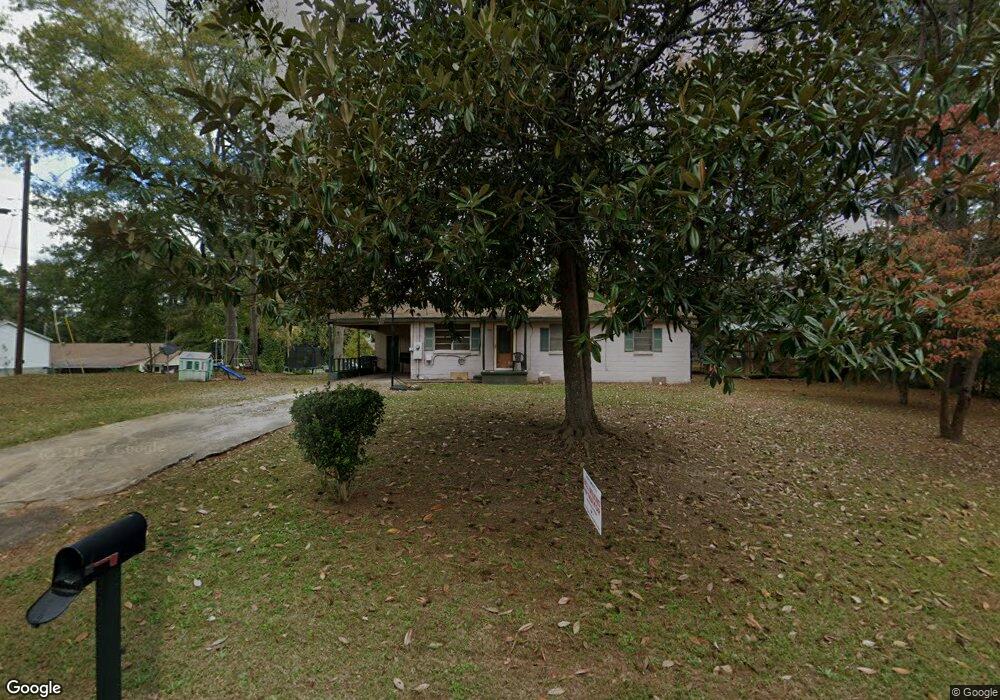
904 Atlantic St Manchester, GA 31816
Estimated Value: $63,016 - $118,000
3
Beds
1
Bath
1,120
Sq Ft
$88/Sq Ft
Est. Value
About This Home
This home is located at 904 Atlantic St, Manchester, GA 31816 and is currently estimated at $98,754, approximately $88 per square foot. 904 Atlantic St is a home located in Meriwether County with nearby schools including Mountain View Elementary School, Manchester Middle School, and Manchester High School.
Ownership History
Date
Name
Owned For
Owner Type
Purchase Details
Closed on
Mar 10, 2004
Sold by
Wilson Dorsey
Bought by
Adams John L
Current Estimated Value
Purchase Details
Closed on
Feb 17, 2004
Sold by
Parker Curtis
Bought by
Wilson Dorsey
Purchase Details
Closed on
Sep 2, 2003
Sold by
Adams John L & Lucy/City Of Manchester
Bought by
Parker Curtis
Purchase Details
Closed on
Jan 1, 1974
Bought by
Adams John L and Adams Lucy
Create a Home Valuation Report for This Property
The Home Valuation Report is an in-depth analysis detailing your home's value as well as a comparison with similar homes in the area
Home Values in the Area
Average Home Value in this Area
Purchase History
| Date | Buyer | Sale Price | Title Company |
|---|---|---|---|
| Adams John L | $2,200 | -- | |
| Wilson Dorsey | $2,200 | -- | |
| Parker Curtis | -- | -- | |
| Adams John L | $12,000 | -- |
Source: Public Records
Tax History Compared to Growth
Tax History
| Year | Tax Paid | Tax Assessment Tax Assessment Total Assessment is a certain percentage of the fair market value that is determined by local assessors to be the total taxable value of land and additions on the property. | Land | Improvement |
|---|---|---|---|---|
| 2024 | $540 | $11,440 | $1,200 | $10,240 |
| 2023 | $554 | $11,440 | $1,200 | $10,240 |
| 2022 | $554 | $11,440 | $1,200 | $10,240 |
| 2021 | $365 | $11,440 | $1,200 | $10,240 |
| 2020 | $368 | $11,440 | $1,200 | $10,240 |
| 2019 | $369 | $11,440 | $1,200 | $10,240 |
| 2018 | $373 | $11,440 | $1,200 | $10,240 |
| 2017 | $377 | $11,440 | $1,200 | $10,240 |
| 2016 | $377 | $11,440 | $1,200 | $10,240 |
| 2015 | $377 | $11,440 | $1,200 | $10,240 |
| 2014 | $377 | $11,440 | $1,200 | $10,240 |
| 2013 | -- | $11,440 | $1,200 | $10,240 |
Source: Public Records
Map
Nearby Homes
- 701 Jd Parham Dr
- 802 Jd Parham Dr
- 305 Holy Hill Place
- 200 Hunt Cir
- 522 4th St
- 514 Farris Blvd
- 403 W Broxton Ln
- 604 Farris Blvd
- 621 Mayes Way
- 312 2nd Ave
- LOT 188 Pinecrest Dr
- 922 Linda Ln
- 624 Sunset Dr
- 408 Broad St
- 12 Truitt St
- 434 Phil Howe Rd
- 36 E 2nd St
- 7223 Scenic Heights
- 77 Cordwood St
- 3.26 ACRES Mountain Ridge Dr
- 302 Ridge St
- 902 Atlantic St
- 305 Friendly Ave
- 305 Ridge St
- 901 Atlantic St
- 909 Atlantic St
- 307 Friendly Ave
- 308 Ridge St
- 313 Ridge St
- 807 Atlantic St
- 309 Friendly Ave
- 308 Roger Brawner Ave
- 907 Ls Glencamp Way
- 909 Ls Glencamp Way
- 903 Ls Glencamp Way
- 212 Friendly Ave
- 805 Atlantic St
- 806 Atlantic St
- 806 Atlantic St
- 312 Friendly Ave