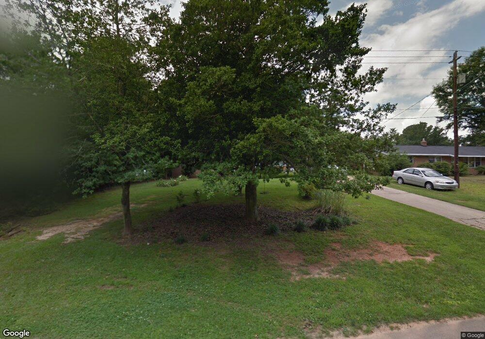
904 Benson Rd Garner, NC 27529
Estimated Value: $249,000 - $291,462
3
Beds
2
Baths
1,225
Sq Ft
$220/Sq Ft
Est. Value
About This Home
This home is located at 904 Benson Rd, Garner, NC 27529 and is currently estimated at $269,366, approximately $219 per square foot. 904 Benson Rd is a home located in Wake County with nearby schools including Vandora Springs Elementary, North Garner Middle, and Garner High.
Ownership History
Date
Name
Owned For
Owner Type
Purchase Details
Closed on
Dec 5, 2006
Sold by
Cox Recca and Cox Ira R
Bought by
Foster Mary and Foster William
Current Estimated Value
Home Financials for this Owner
Home Financials are based on the most recent Mortgage that was taken out on this home.
Original Mortgage
$107,500
Outstanding Balance
$64,343
Interest Rate
6.33%
Mortgage Type
Purchase Money Mortgage
Estimated Equity
$205,023
Purchase Details
Closed on
Jan 19, 2005
Sold by
Lewis Bryan W and Lewis Katherine M
Bought by
Cox Recca
Home Financials for this Owner
Home Financials are based on the most recent Mortgage that was taken out on this home.
Original Mortgage
$100,000
Interest Rate
5.61%
Mortgage Type
Fannie Mae Freddie Mac
Purchase Details
Closed on
Sep 15, 1999
Sold by
Cooper Margaret M
Bought by
Lewis Bryan W and Lewis Katherine M
Home Financials for this Owner
Home Financials are based on the most recent Mortgage that was taken out on this home.
Original Mortgage
$89,812
Interest Rate
7.25%
Create a Home Valuation Report for This Property
The Home Valuation Report is an in-depth analysis detailing your home's value as well as a comparison with similar homes in the area
Home Values in the Area
Average Home Value in this Area
Purchase History
| Date | Buyer | Sale Price | Title Company |
|---|---|---|---|
| Foster Mary | $107,500 | None Available | |
| Cox Recca | $100,000 | -- | |
| Lewis Bryan W | $97,500 | -- |
Source: Public Records
Mortgage History
| Date | Status | Borrower | Loan Amount |
|---|---|---|---|
| Open | Foster Mary | $107,500 | |
| Previous Owner | Cox Recca | $100,000 | |
| Previous Owner | Lewis Bryan W | $89,812 |
Source: Public Records
Tax History Compared to Growth
Tax History
| Year | Tax Paid | Tax Assessment Tax Assessment Total Assessment is a certain percentage of the fair market value that is determined by local assessors to be the total taxable value of land and additions on the property. | Land | Improvement |
|---|---|---|---|---|
| 2025 | $2,864 | $274,223 | $125,000 | $149,223 |
| 2024 | $2,854 | $274,223 | $125,000 | $149,223 |
| 2023 | $2,013 | $155,254 | $50,000 | $105,254 |
| 2022 | $1,839 | $155,254 | $50,000 | $105,254 |
| 2021 | $1,747 | $155,254 | $50,000 | $105,254 |
| 2020 | $1,723 | $155,254 | $50,000 | $105,254 |
| 2019 | $1,422 | $109,484 | $33,600 | $75,884 |
| 2018 | $1,319 | $109,484 | $33,600 | $75,884 |
| 2017 | $1,276 | $109,484 | $33,600 | $75,884 |
| 2016 | $1,260 | $109,484 | $33,600 | $75,884 |
| 2015 | $1,254 | $109,012 | $14,000 | $95,012 |
| 2014 | $1,195 | $109,012 | $14,000 | $95,012 |
Source: Public Records
Map
Nearby Homes
- 100 Sheraton Ln
- 360 Bayleigh Ct
- 166 Gulley Glen Dr
- 228 Kentucky Dr
- 201 Gulley Glen Dr
- 225 Gulley Glen Dr
- 118 Rhum Place
- 102 Rhum Place
- 0 Bagwell St
- 113 Towne View Trail
- 311 New Rand Rd
- 205 Rand Mill Rd
- 200 Rand Mill Rd
- 0 Dupree St
- 215 Mariah Towns Way
- 210 Bagwell St
- 153 Pearl St Unit 12
- 149 Pearl St Unit 11
- 145 Pearl St Unit 10
- 141 Pearl St Unit 9
- 902 Benson Rd
- 500 Lakeside Dr
- 502 Lakeside Dr
- 501 Lawndale St
- 504 Lakeside Dr
- 503 Lawndale St
- 905 Benson Rd
- 903 Benson Rd
- 410 Lakeside Dr
- 506 Lakeside Dr
- 400 Lawndale St
- 507 Lakeside Dr
- 505 Lawndale St
- 500 Lawndale St
- 408 Lakeside Dr
- 419 Lakeside Dr
- 502 Lawndale St
- 402 Lawndale St
- 508 Lakeside Dr
- 507 Lawndale St
