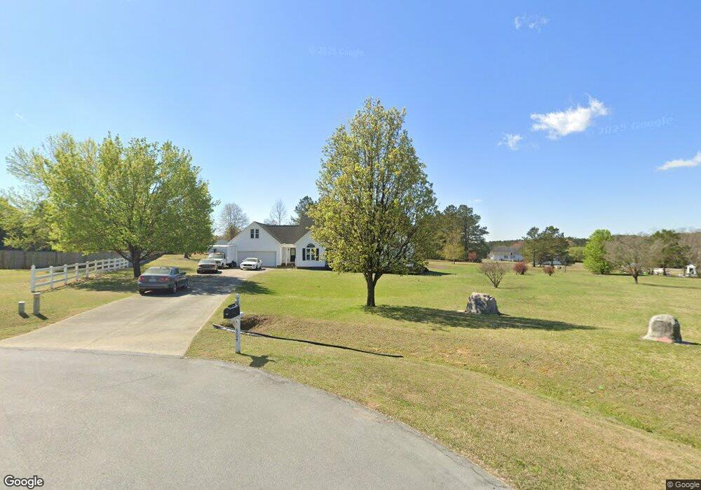
904 Colt Cir Clayton, NC 27520
Estimated Value: $453,079 - $508,000
3
Beds
3
Baths
2,650
Sq Ft
$179/Sq Ft
Est. Value
About This Home
This home is located at 904 Colt Cir, Clayton, NC 27520 and is currently estimated at $473,770, approximately $178 per square foot. 904 Colt Cir is a home located in Johnston County with nearby schools including Cleveland Elementary School, Cleveland Middle School, and Cleveland High School.
Ownership History
Date
Name
Owned For
Owner Type
Purchase Details
Closed on
Sep 16, 2016
Sold by
Koleno Steve M and Koleno Jeane C
Bought by
Metts Kimberley Dawn and Vasalofsky Paul Francis
Current Estimated Value
Home Financials for this Owner
Home Financials are based on the most recent Mortgage that was taken out on this home.
Original Mortgage
$234,449
Outstanding Balance
$187,269
Interest Rate
3.43%
Mortgage Type
New Conventional
Estimated Equity
$286,501
Create a Home Valuation Report for This Property
The Home Valuation Report is an in-depth analysis detailing your home's value as well as a comparison with similar homes in the area
Home Values in the Area
Average Home Value in this Area
Purchase History
| Date | Buyer | Sale Price | Title Company |
|---|---|---|---|
| Metts Kimberley Dawn | $242,000 | None Available |
Source: Public Records
Mortgage History
| Date | Status | Borrower | Loan Amount |
|---|---|---|---|
| Open | Metts Kimberley Dawn | $234,449 |
Source: Public Records
Tax History
| Year | Tax Paid | Tax Assessment Tax Assessment Total Assessment is a certain percentage of the fair market value that is determined by local assessors to be the total taxable value of land and additions on the property. | Land | Improvement |
|---|---|---|---|---|
| 2025 | $2,442 | $384,530 | $64,430 | $320,100 |
| 2024 | $2,194 | $270,870 | $64,430 | $206,440 |
| 2023 | $2,120 | $270,870 | $64,430 | $206,440 |
| 2022 | $2,228 | $270,870 | $64,430 | $206,440 |
| 2021 | $2,228 | $270,870 | $64,430 | $206,440 |
| 2020 | $2,255 | $270,870 | $64,430 | $206,440 |
| 2019 | $2,255 | $270,870 | $64,430 | $206,440 |
| 2018 | $1,891 | $221,870 | $39,070 | $182,800 |
| 2017 | $1,891 | $221,870 | $39,070 | $182,800 |
| 2016 | $1,936 | $221,870 | $39,070 | $182,800 |
| 2015 | $1,913 | $241,240 | $39,070 | $202,170 |
| 2014 | $2,078 | $241,240 | $39,070 | $202,170 |
Source: Public Records
Map
Nearby Homes
- 42 Saltwater Cove
- 86 Troy Dr
- 105 George Wilton Dr
- 233 Ambassador Dr
- 101 White Water Ct
- 91 Commons Cir
- 245 Ambassador Dr
- 108 Eddy Ct
- 190 Stephens Timberline View
- 224 Stephens Timberline View
- 30 E Fire Opal Ct
- 211 Mary Sandra Place
- 117 Primrose Ln
- 13 Knotty Pine Ln
- 255 Ambassador Dr
- 280 Ambassador Dr
- 269 Ambassador Dr
- 260 Ambassador Dr
- 302 Ambassador Dr
- 305 Ambassador Dr
- 908 Colt Cir
- 900 Colt Cir
- 905 Colt Cir
- 901 Colt Cir
- 301 Hunting Lodge Rd
- 407 Hunting Lodge Rd
- 413 Hunting Lodge Rd
- 204 Hunting Lodge Rd
- 104 Winchester Place
- 305 Hunting Lodge Rd
- 419 Hunting Lodge Rd
- 200 Hunting Lodge Rd
- 119 Hunting Lodge Rd
- 108 Winchester Place
- 124 Hunting Lodge Rd
- 112 Winchester Place
- 120 Hunting Lodge Rd
- 404 Hunting Lodge Rd
- 1001 Remington Dr
- 1000 Remington Dr
Your Personal Tour Guide
Ask me questions while you tour the home.