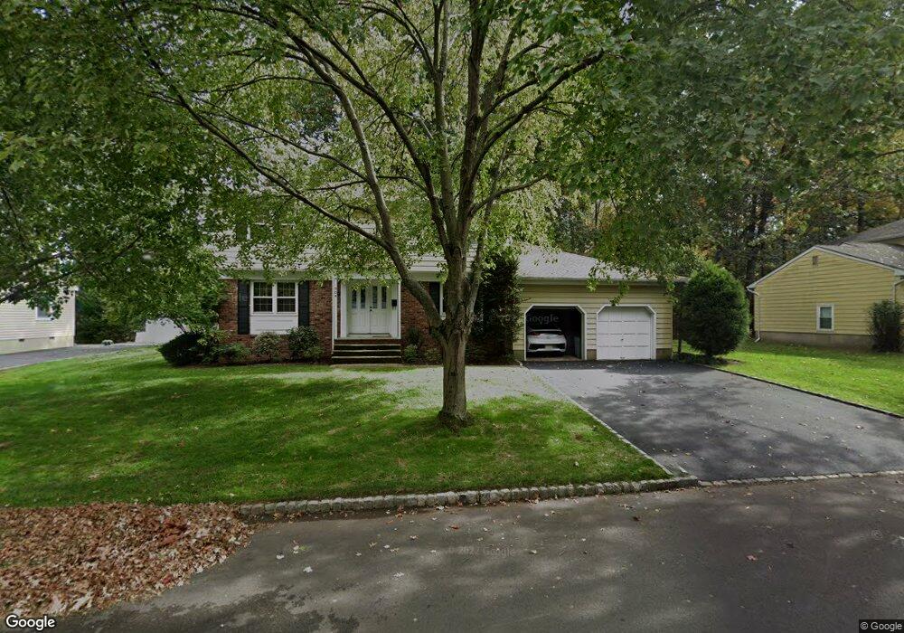
904 Cranford Ave Westfield, NJ 07090
Estimated Value: $1,120,125 - $1,359,000
--
Bed
--
Bath
2,358
Sq Ft
$503/Sq Ft
Est. Value
About This Home
This home is located at 904 Cranford Ave, Westfield, NJ 07090 and is currently estimated at $1,187,031, approximately $503 per square foot. 904 Cranford Ave is a home located in Union County with nearby schools including Washington Elementary School, Edison Intermediate School, and Westfield Senior High School.
Ownership History
Date
Name
Owned For
Owner Type
Purchase Details
Closed on
Jan 8, 2021
Sold by
Mollick Lynn and Spett Milton
Bought by
Mollick Lynn and Spett Milton
Current Estimated Value
Purchase Details
Closed on
Mar 18, 1985
Bought by
Spett Milton C and Mollick Lynn R
Create a Home Valuation Report for This Property
The Home Valuation Report is an in-depth analysis detailing your home's value as well as a comparison with similar homes in the area
Home Values in the Area
Average Home Value in this Area
Purchase History
| Date | Buyer | Sale Price | Title Company |
|---|---|---|---|
| Mollick Lynn | -- | Title Masters Llc | |
| Spett Milton C | $219,000 | -- |
Source: Public Records
Tax History Compared to Growth
Tax History
| Year | Tax Paid | Tax Assessment Tax Assessment Total Assessment is a certain percentage of the fair market value that is determined by local assessors to be the total taxable value of land and additions on the property. | Land | Improvement |
|---|---|---|---|---|
| 2025 | $16,717 | $742,300 | $459,800 | $282,500 |
| 2024 | $16,375 | $742,300 | $459,800 | $282,500 |
| 2023 | $16,375 | $742,300 | $459,800 | $282,500 |
| 2022 | $16,034 | $742,300 | $459,800 | $282,500 |
| 2021 | $17,185 | $794,500 | $512,000 | $282,500 |
| 2020 | $17,145 | $794,500 | $512,000 | $282,500 |
| 2019 | $17,082 | $794,500 | $512,000 | $282,500 |
| 2018 | $10,473 | $224,200 | $86,500 | $137,700 |
| 2017 | $20,485 | $224,200 | $86,500 | $137,700 |
| 2016 | $20,243 | $224,200 | $86,500 | $137,700 |
| 2015 | $19,839 | $224,200 | $86,500 | $137,700 |
| 2014 | $19,185 | $224,200 | $86,500 | $137,700 |
Source: Public Records
Map
Nearby Homes
- 401 Brookside Place
- 4 Cedar St
- 305 Cedar St
- 529 Benson Place
- 684 Gallows Hill Rd
- 519 3rd Ave
- 339 2nd Ave
- 500 Maple Ct Unit 500
- 223 5th Ave
- 806 Saint Marks Ave
- 105 Chestnut Ct Unit 3
- 7 Folkstone Dr
- 764 Fairacres Ave
- 131 Wells St
- 343 South Ave
- 820 E Broad St
- 203 Beech St
- 629 Tremont Ave
- 7 3rd Ave
- 565 Willow Ave
- 917 Morris Ave
- 900 Cranford Ave
- 908 Cranford Ave
- 901 Morris Ave
- 905 Cranford Ave
- 901 Cranford Ave
- 912 Cranford Ave
- 909 Cranford Ave
- 731 Sherman St
- 840 Cranford Ave
- 913 Cranford Ave
- 720 Sherman St
- 904 Stevens Ave
- 909 Union St
- 905 Union St
- 900 Stevens Ave
- 908 Stevens Ave
- 841 Cranford Ave
- 916 Cranford Ave
- 923 Union St