904 Kiowa Dr E Gainesville, TX 76240
Estimated Value: $758,000 - $2,419,000
4
Beds
3
Baths
2,519
Sq Ft
$664/Sq Ft
Est. Value
About This Home
This home is located at 904 Kiowa Dr E, Gainesville, TX 76240 and is currently estimated at $1,673,200, approximately $664 per square foot. 904 Kiowa Dr E is a home with nearby schools including Callisburg Elementary School, Callisburg Middle School, and Callisburg High School.
Ownership History
Date
Name
Owned For
Owner Type
Purchase Details
Closed on
Jul 17, 2024
Sold by
Kaca Camp 904 Llc
Bought by
Cavalier Family Trust
Current Estimated Value
Purchase Details
Closed on
Jul 16, 2024
Sold by
Ogorman Lucinda A and Ogorman James K
Bought by
904 E Kowa Drive Llc
Purchase Details
Closed on
Mar 4, 2005
Sold by
Heaton Christopher R and Heaton Shannon K
Bought by
Ogorman James K and Ogorman Lucind A
Home Financials for this Owner
Home Financials are based on the most recent Mortgage that was taken out on this home.
Original Mortgage
$359,650
Interest Rate
5.71%
Mortgage Type
New Conventional
Create a Home Valuation Report for This Property
The Home Valuation Report is an in-depth analysis detailing your home's value as well as a comparison with similar homes in the area
Home Values in the Area
Average Home Value in this Area
Purchase History
| Date | Buyer | Sale Price | Title Company |
|---|---|---|---|
| Cavalier Family Trust | -- | Capital Title | |
| 904 E Kowa Drive Llc | -- | Capital Title | |
| Ogorman James K | -- | -- |
Source: Public Records
Mortgage History
| Date | Status | Borrower | Loan Amount |
|---|---|---|---|
| Previous Owner | Ogorman James K | $359,650 |
Source: Public Records
Tax History Compared to Growth
Tax History
| Year | Tax Paid | Tax Assessment Tax Assessment Total Assessment is a certain percentage of the fair market value that is determined by local assessors to be the total taxable value of land and additions on the property. | Land | Improvement |
|---|---|---|---|---|
| 2025 | $27,761 | $2,172,623 | $1,130,008 | $1,042,615 |
| 2024 | $27,761 | $2,197,879 | $1,155,264 | $1,042,615 |
| 2023 | $23,563 | $1,845,619 | $621,633 | $1,223,986 |
| 2022 | $23,944 | $1,614,219 | $576,071 | $1,038,148 |
| 2021 | $20,775 | $1,136,056 | $432,571 | $703,485 |
| 2020 | $21,710 | $1,113,966 | $402,436 | $711,530 |
| 2019 | $18,604 | $954,919 | $357,234 | $597,685 |
| 2018 | $17,274 | $881,816 | $345,754 | $536,062 |
| 2017 | $16,910 | $855,280 | $327,251 | $528,029 |
| 2015 | $16,083 | $838,784 | $327,251 | $511,533 |
| 2014 | $16,083 | $834,901 | $327,251 | $507,650 |
Source: Public Records
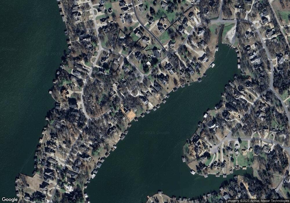
Map
Nearby Homes
- 102 Bowie Cove
- 116 Seminole Dr
- 114 Seminole Dr
- 103 Bowie Dr
- 111 Bowie Dr
- 122 Comanche Dr
- 1107 Kiowa Dr E
- 105 Seminole Dr
- 104 Pontiac Dr
- 110 Seminole Cove
- Lot 2 Apache Cove
- Lot 3 Apache Cove
- Lot 7 Apache Cove
- Lot 6 Apache Cove
- Lot 1 Apache Cove
- Lot 8 Apache Cove
- Lot 4 Apache Cove
- Lot 5 Apache Cove
- 501 Kiowa Dr E
- 100 Huron Trail
- 905 Kiowa Dr E
- 907 Kiowa Dr E
- 849 Kiowa Dr E
- 910 Kiowa Dr E
- 102 Longhorn Dr
- 911 Kiowa Dr E
- 908 Kiowa Dr E
- 902 Kiowa Dr E
- 900 Kiowa Dr E
- 912 Kiowa Dr E
- 836 Kiowa Dr E
- 913 Kiowa Dr E
- 921 Kiowa Dr E
- 847 Kiowa Dr E
- 914 Kiowa Dr E
- 104 Longhorn Dr
- 925 Kiowa Dr E
- 834 Kiowa Dr E
- 106 Longhorn Dr
- 917 Kiowa Dr E