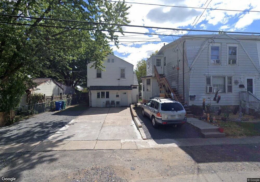
904 Main Ave Unit 2 Croydon, PA 19021
Estimated Value: $382,061 - $539,000
2
Beds
1
Bath
1,820
Sq Ft
$262/Sq Ft
Est. Value
About This Home
This home is located at 904 Main Ave Unit 2, Croydon, PA 19021 and is currently estimated at $476,265, approximately $261 per square foot. 904 Main Ave Unit 2 is a home located in Bucks County with nearby schools including Truman Senior High School, School Lane Charter School, and St Ephrem School.
Ownership History
Date
Name
Owned For
Owner Type
Purchase Details
Closed on
Feb 23, 2024
Sold by
Ludlow Kenneth and Ludlow Patricia A
Bought by
Lobben Maxwell and Ziemann Rachel
Current Estimated Value
Home Financials for this Owner
Home Financials are based on the most recent Mortgage that was taken out on this home.
Original Mortgage
$475,000
Outstanding Balance
$466,731
Interest Rate
6.69%
Mortgage Type
New Conventional
Estimated Equity
$9,534
Purchase Details
Closed on
Dec 5, 1985
Bought by
Ferguson Dayle M
Create a Home Valuation Report for This Property
The Home Valuation Report is an in-depth analysis detailing your home's value as well as a comparison with similar homes in the area
Home Values in the Area
Average Home Value in this Area
Purchase History
| Date | Buyer | Sale Price | Title Company |
|---|---|---|---|
| Lobben Maxwell | $500,000 | Foundation Title | |
| Ferguson Dayle M | -- | -- |
Source: Public Records
Mortgage History
| Date | Status | Borrower | Loan Amount |
|---|---|---|---|
| Open | Lobben Maxwell | $475,000 |
Source: Public Records
Tax History
| Year | Tax Paid | Tax Assessment Tax Assessment Total Assessment is a certain percentage of the fair market value that is determined by local assessors to be the total taxable value of land and additions on the property. | Land | Improvement |
|---|---|---|---|---|
| 2025 | $4,345 | $16,000 | $2,560 | $13,440 |
| 2024 | $4,345 | $16,000 | $2,560 | $13,440 |
| 2023 | $4,313 | $16,000 | $2,560 | $13,440 |
| 2022 | $4,313 | $16,000 | $2,560 | $13,440 |
| 2021 | $4,313 | $16,000 | $2,560 | $13,440 |
| 2020 | $4,313 | $16,000 | $2,560 | $13,440 |
| 2019 | $4,297 | $16,000 | $2,560 | $13,440 |
| 2018 | $4,228 | $16,000 | $2,560 | $13,440 |
| 2017 | $4,164 | $16,000 | $2,560 | $13,440 |
| 2016 | $4,164 | $16,000 | $2,560 | $13,440 |
| 2015 | $3,229 | $16,000 | $2,560 | $13,440 |
| 2014 | $3,229 | $16,000 | $2,560 | $13,440 |
Source: Public Records
Map
Nearby Homes
- 618 Cedar Ave
- 910 Magnolia Ave
- 530 Main Ave
- 535 Princess Ave
- 805 State Rd
- 730 Excelsior Ave
- 601 Fourth Ave
- 1103 Nancy Dr
- 909 Third Ave
- 813 Fifth Ave
- 901 Spencer Dr
- 305 Miller Ave
- 208 Neshaminy Rd
- 1306 Spencer Dr
- 0 Newportville Rd Unit PABU2115306
- 1706 Spencer Dr
- 709 Shadyside Ave
- 1051 Maple Ave
- 2113 Pennsylvania Ave
- 806 Logan Ave
Your Personal Tour Guide
Ask me questions while you tour the home.