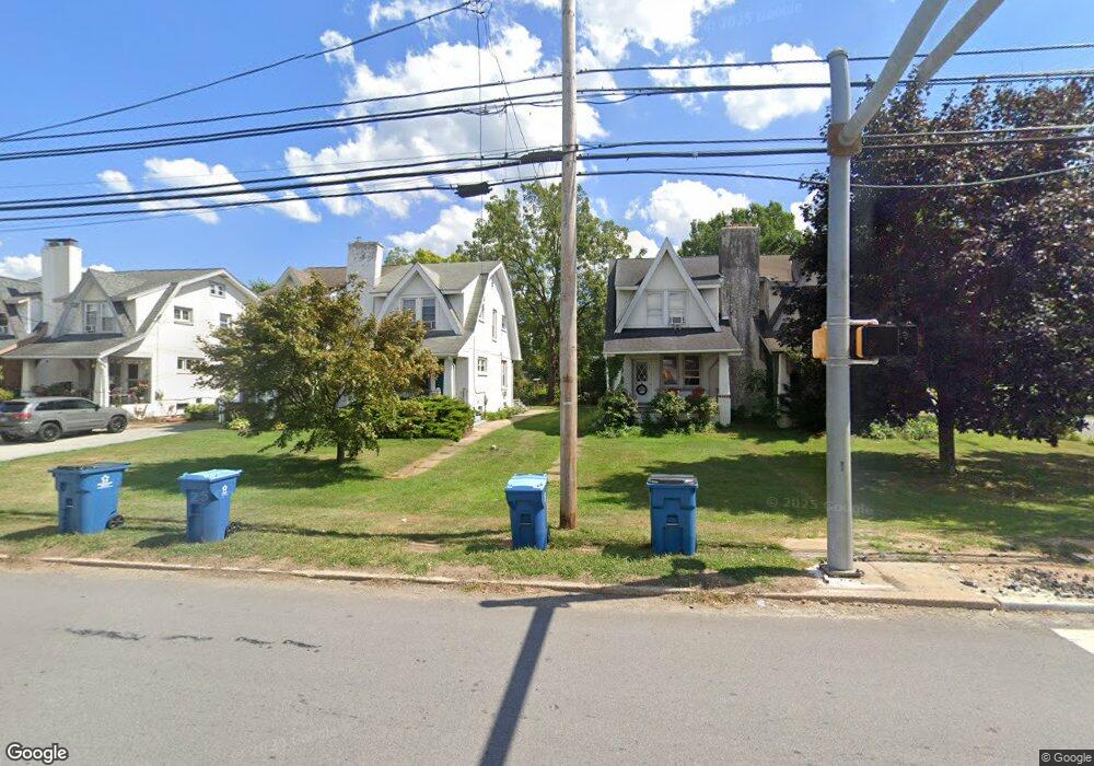
904 Paoli Pike West Chester, PA 19380
Estimated Value: $302,000 - $437,000
3
Beds
1
Bath
1,520
Sq Ft
$254/Sq Ft
Est. Value
About This Home
This home is located at 904 Paoli Pike, West Chester, PA 19380 and is currently estimated at $386,603, approximately $254 per square foot. 904 Paoli Pike is a home located in Chester County with nearby schools including Fern Hill Elementary School, E.N. Peirce Middle School, and Henderson High School.
Ownership History
Date
Name
Owned For
Owner Type
Purchase Details
Closed on
Mar 22, 2006
Sold by
Brinkman Rodney B
Bought by
Marrocco Carolyn V
Current Estimated Value
Purchase Details
Closed on
Aug 23, 2004
Sold by
Mcfadden Dorothy
Bought by
Brinkman Rodney B
Home Financials for this Owner
Home Financials are based on the most recent Mortgage that was taken out on this home.
Original Mortgage
$111,900
Outstanding Balance
$55,563
Interest Rate
6.02%
Mortgage Type
Purchase Money Mortgage
Estimated Equity
$331,040
Create a Home Valuation Report for This Property
The Home Valuation Report is an in-depth analysis detailing your home's value as well as a comparison with similar homes in the area
Home Values in the Area
Average Home Value in this Area
Purchase History
| Date | Buyer | Sale Price | Title Company |
|---|---|---|---|
| Marrocco Carolyn V | -- | None Available | |
| Brinkman Rodney B | $139,900 | Commonwealth Title |
Source: Public Records
Mortgage History
| Date | Status | Borrower | Loan Amount |
|---|---|---|---|
| Open | Brinkman Rodney B | $111,900 |
Source: Public Records
Tax History Compared to Growth
Tax History
| Year | Tax Paid | Tax Assessment Tax Assessment Total Assessment is a certain percentage of the fair market value that is determined by local assessors to be the total taxable value of land and additions on the property. | Land | Improvement |
|---|---|---|---|---|
| 2025 | $3,488 | $120,330 | $38,910 | $81,420 |
| 2024 | $3,488 | $120,330 | $38,910 | $81,420 |
| 2023 | $3,488 | $120,330 | $38,910 | $81,420 |
| 2022 | $3,443 | $120,330 | $38,910 | $81,420 |
| 2021 | $3,395 | $120,330 | $38,910 | $81,420 |
| 2020 | $3,373 | $120,330 | $38,910 | $81,420 |
| 2019 | $3,326 | $120,330 | $38,910 | $81,420 |
| 2018 | $3,255 | $120,330 | $38,910 | $81,420 |
| 2017 | $3,185 | $120,330 | $38,910 | $81,420 |
| 2016 | $2,686 | $120,330 | $38,910 | $81,420 |
| 2015 | $2,686 | $120,330 | $38,910 | $81,420 |
| 2014 | $2,686 | $120,330 | $38,910 | $81,420 |
Source: Public Records
Map
Nearby Homes
- 130 Chatwood Ave
- 852 Cedar Ave
- 220 Spring Ln
- 210 Spring Ln
- 12 Sherman Alley
- 110 S Adams St
- 904 Sylvania Ln
- 342 E Barnard St
- 809 Amelia Dr
- 317 S Adams St
- 335 S Adams St
- 412 Danielle Way
- 432 Hightop Rd
- 347 E Biddle St
- 138 Justin Dr
- 538 S Adams St
- 305 S Matlack St
- 112 S Matlack St
- 145 E Miner St
- 110 S Matlack St
- 902 Paoli Pike
- 906 Paoli Pike
- 908 Paoli Pike
- 900 Paoli Pike
- 31 N Concord Rd
- 910 Paoli Pike
- 29 N Concord Rd
- 32 Patrick Ave
- 912 Paoli Pike
- 27 N Concord Rd
- 30 Patrick Ave
- 25 N Concord Rd
- 28 Patrick Ave
- 852 Paoli Pike
- 19 N Concord Rd
- 26 Patrick Ave
- 41 Patrick Ave
- 26 N Concord Rd
- 20 N Concord Rd
- 24 Patrick Ave