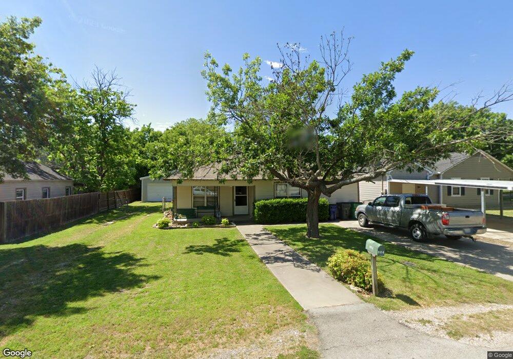
904 Pecan St Sanger, TX 76266
Estimated Value: $182,814 - $246,000
3
Beds
1
Bath
1,040
Sq Ft
$202/Sq Ft
Est. Value
About This Home
This home is located at 904 Pecan St, Sanger, TX 76266 and is currently estimated at $209,938, approximately $201 per square foot. 904 Pecan St is a home located in Denton County with nearby schools including Chisholm Trail Elementary School, Clear Creek Intermediate School, and Sanger Sixth Grade Campus.
Ownership History
Date
Name
Owned For
Owner Type
Purchase Details
Closed on
May 2, 2012
Sold by
Osborn Claudia Louise
Bought by
2 T Street Investments Llc
Current Estimated Value
Purchase Details
Closed on
Feb 24, 1997
Sold by
Linn Barton Edward B and Linn Edward Jeryl
Bought by
Osborn Claudia Louise
Home Financials for this Owner
Home Financials are based on the most recent Mortgage that was taken out on this home.
Original Mortgage
$55,930
Interest Rate
7.85%
Mortgage Type
FHA
Purchase Details
Closed on
Aug 25, 1995
Sold by
Lorenz Rhonda Laverne and Lorez Rhonda
Bought by
Barton Edward B and Edwards Jeryl Linn
Create a Home Valuation Report for This Property
The Home Valuation Report is an in-depth analysis detailing your home's value as well as a comparison with similar homes in the area
Home Values in the Area
Average Home Value in this Area
Purchase History
| Date | Buyer | Sale Price | Title Company |
|---|---|---|---|
| 2 T Street Investments Llc | -- | None Available | |
| Osborn Claudia Louise | -- | -- | |
| Osborn Claudia Louise | -- | -- | |
| Barton Edward B | -- | -- | |
| Barton Edward B | -- | -- |
Source: Public Records
Mortgage History
| Date | Status | Borrower | Loan Amount |
|---|---|---|---|
| Previous Owner | Osborn Claudia Louise | $55,930 |
Source: Public Records
Tax History Compared to Growth
Tax History
| Year | Tax Paid | Tax Assessment Tax Assessment Total Assessment is a certain percentage of the fair market value that is determined by local assessors to be the total taxable value of land and additions on the property. | Land | Improvement |
|---|---|---|---|---|
| 2025 | $2,013 | $107,886 | $65,151 | $42,735 |
| 2024 | $2,013 | $99,590 | $65,151 | $34,439 |
| 2023 | $1,833 | $90,445 | $50,673 | $39,772 |
| 2022 | $2,150 | $96,957 | $41,129 | $55,828 |
| 2021 | $1,789 | $85,103 | $33,651 | $51,452 |
| 2020 | $1,631 | $73,698 | $33,651 | $40,047 |
| 2019 | $1,666 | $73,191 | $33,651 | $39,540 |
| 2018 | $1,571 | $68,628 | $33,651 | $34,977 |
| 2017 | $1,547 | $67,260 | $33,651 | $33,609 |
| 2016 | $1,131 | $49,192 | $18,695 | $30,497 |
| 2015 | $1,002 | $45,184 | $18,695 | $26,489 |
| 2013 | -- | $42,401 | $18,695 | $23,706 |
Source: Public Records
Map
Nearby Homes
- 902 Plum St
- 702 Peach St Unit 2
- TBD Interstate 35
- 1010 Bolivar St
- 4551 Farm To Market Road 455
- 1209 Bolivar St
- 4063 Farm To Market 455 W
- 411 Hughes St
- 1149 Serendipity Cir
- 710 W Willow St
- 109 S 5th St
- 1009 Porter Place
- 509 Marshall St
- 106 W Holt St
- 319 Austin St
- 505 Houston St
- 109 Colonial Heights
- 113 Diane Dr
- 136 Creekside Dr
- 126 Creekside Dr