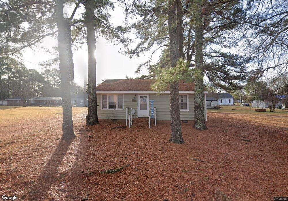
904 Rountree Ave SE Wilson, NC 27893
Estimated Value: $85,000 - $92,000
2
Beds
1
Bath
816
Sq Ft
$108/Sq Ft
Est. Value
About This Home
This home is located at 904 Rountree Ave SE, Wilson, NC 27893 and is currently estimated at $88,411, approximately $108 per square foot. 904 Rountree Ave SE is a home located in Wilson County with nearby schools including Vick Elementary School, James Hunt High School, and Forest Hills Middle School.
Ownership History
Date
Name
Owned For
Owner Type
Purchase Details
Closed on
Aug 6, 2025
Sold by
Gill Rental Llc
Bought by
Myles Group Inc
Current Estimated Value
Purchase Details
Closed on
Jan 14, 2022
Sold by
Gill Rental Llc
Bought by
913915 Nash Llc
Purchase Details
Closed on
Nov 30, 2019
Sold by
Gill Catherine Carter
Bought by
Gill Rental Llc
Create a Home Valuation Report for This Property
The Home Valuation Report is an in-depth analysis detailing your home's value as well as a comparison with similar homes in the area
Home Values in the Area
Average Home Value in this Area
Purchase History
| Date | Buyer | Sale Price | Title Company |
|---|---|---|---|
| Myles Group Inc | $90,000 | None Listed On Document | |
| Myles Group Inc | $90,000 | None Listed On Document | |
| 913915 Nash Llc | $30,000 | Radford S Bryan | |
| 913915 Nash Llc | $30,000 | None Listed On Document | |
| Gill Rental Llc | -- | None Available |
Source: Public Records
Tax History Compared to Growth
Tax History
| Year | Tax Paid | Tax Assessment Tax Assessment Total Assessment is a certain percentage of the fair market value that is determined by local assessors to be the total taxable value of land and additions on the property. | Land | Improvement |
|---|---|---|---|---|
| 2025 | $465 | $41,532 | $10,000 | $31,532 |
| 2024 | $465 | $41,532 | $10,000 | $31,532 |
| 2023 | $322 | $24,703 | $8,000 | $16,703 |
| 2022 | $322 | $24,703 | $8,000 | $16,703 |
| 2021 | $322 | $24,703 | $8,000 | $16,703 |
| 2020 | $322 | $24,703 | $8,000 | $16,703 |
| 2019 | $322 | $24,703 | $8,000 | $16,703 |
| 2018 | $322 | $24,703 | $8,000 | $16,703 |
| 2017 | $317 | $24,703 | $8,000 | $16,703 |
| 2016 | $317 | $24,703 | $8,000 | $16,703 |
| 2014 | $352 | $28,271 | $8,000 | $20,271 |
Source: Public Records
Map
Nearby Homes
- 615 Manchester St SE
- 405 Singletary St SE
- 1101 Woodard Ave SE
- 1105 Woodard Ave SE
- 1207 Lincoln St SE
- 1107 Woodard Ave SE
- 1203 Lincoln St SE
- 417 Lane St SE
- 310 Finch St SE
- 6316 Ward Blvd
- 312 Finch St SE
- 607 Lane St SE
- 327 Finch St SE
- 807 Irma St SE
- 1310 Nash St SE
- 1213 Nash St E
- 1321 Nash St E
- 912 Atlantic St E
- 1006 Washington St E
- 1505 Coleman St SE
- 513 Singletary St SE
- 507 Singletary St SE
- 517 Singletary St SE
- 501 Hadley St SE
- 503 Singletary St SE
- 412 Hadley St SE
- 415 Hadley St SE
- 505 Singletary St SE
- 507 Hadley St SE
- 501 Singletary St SE
- 512 Singletary St SE
- 509 Hadley St SE
- 410 Hadley St SE
- 512 Hadley St SE
- 508 Singletary St SE
- 413 Hadley St SE
- 500 Singletary St SE
- 415 Singletary St SE
- 514 Singletary St SE
- 511 Hadley St SE