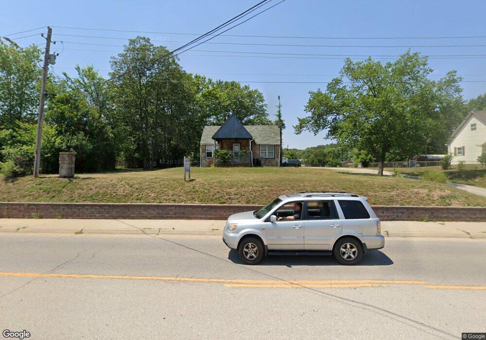
904 Route 66 W Waynesville, MO 65583
Estimated Value: $154,000 - $192,000
3
Beds
1
Bath
1,499
Sq Ft
$113/Sq Ft
Est. Value
About This Home
This home is located at 904 Route 66 W, Waynesville, MO 65583 and is currently estimated at $169,416, approximately $113 per square foot. 904 Route 66 W is a home located in Pulaski County with nearby schools including Waynesville East Elementary School, Freedom Elementary School, and Waynesville Middle School.
Ownership History
Date
Name
Owned For
Owner Type
Purchase Details
Closed on
Jun 30, 2025
Sold by
Viren Richard and Viren Sun H
Bought by
Desouza Raquel and De Souza Wesley
Current Estimated Value
Home Financials for this Owner
Home Financials are based on the most recent Mortgage that was taken out on this home.
Original Mortgage
$49,840
Outstanding Balance
$49,590
Interest Rate
0.68%
Mortgage Type
Construction
Estimated Equity
$119,826
Create a Home Valuation Report for This Property
The Home Valuation Report is an in-depth analysis detailing your home's value as well as a comparison with similar homes in the area
Home Values in the Area
Average Home Value in this Area
Purchase History
| Date | Buyer | Sale Price | Title Company |
|---|---|---|---|
| Desouza Raquel | $62,300 | -- |
Source: Public Records
Mortgage History
| Date | Status | Borrower | Loan Amount |
|---|---|---|---|
| Open | Desouza Raquel | $49,840 |
Source: Public Records
Tax History Compared to Growth
Tax History
| Year | Tax Paid | Tax Assessment Tax Assessment Total Assessment is a certain percentage of the fair market value that is determined by local assessors to be the total taxable value of land and additions on the property. | Land | Improvement |
|---|---|---|---|---|
| 2024 | $421 | $9,966 | $3,762 | $6,204 |
| 2023 | $411 | $9,966 | $3,762 | $6,204 |
| 2022 | $408 | $9,966 | $3,762 | $6,204 |
| 2021 | $404 | $9,966 | $3,762 | $6,204 |
| 2020 | $401 | $12,005 | $0 | $0 |
| 2019 | $400 | $9,671 | $0 | $0 |
| 2018 | $400 | $9,671 | $0 | $0 |
| 2017 | $395 | $11,997 | $0 | $0 |
| 2016 | $376 | $9,670 | $0 | $0 |
| 2015 | -- | $9,670 | $0 | $0 |
| 2014 | $374 | $9,670 | $0 | $0 |
Source: Public Records
Map
Nearby Homes
- 0 El Loma St
- 103 S Newport Ln
- 100 S Newport Ln
- 0 Lot 1 Westwinds S D
- 8 Nathan St
- 508 Main St
- 307 Ellis Ave
- 312 Summit Ave
- 412 Fleetwood Dr
- 1201 Hull Valley Dr
- 107 Hull Dr
- 400 Main St
- 212 Tremont Dr
- 123 Hull Dr
- 107 Tiger St
- 24430 Sounder Ln Unit B
- 20775 Reporter Rd
- 20250 Simmons Rd
- 20105 Simmons Rd
- 114 North St
- 904 Historic 66 W
- 908 Historic 66 W
- 906 Hist Rte 66
- 906 Historic 66 W
- 902 Historic 66 W
- 900 Historic 66 W
- 900 U S Route 66
- 103 Short St
- 813 Thornton St
- 809 Thornton St
- 104 Fleetwood Dr
- 808 Historic 66 W
- 808 U S Rt 66
- 102 Short St
- 101 Fleetwood Dr
- 104 Short St
- 806 Historic 66 W
- 806 U S Route 66
- 815 Thornton St
- 103 Fleetwood Dr