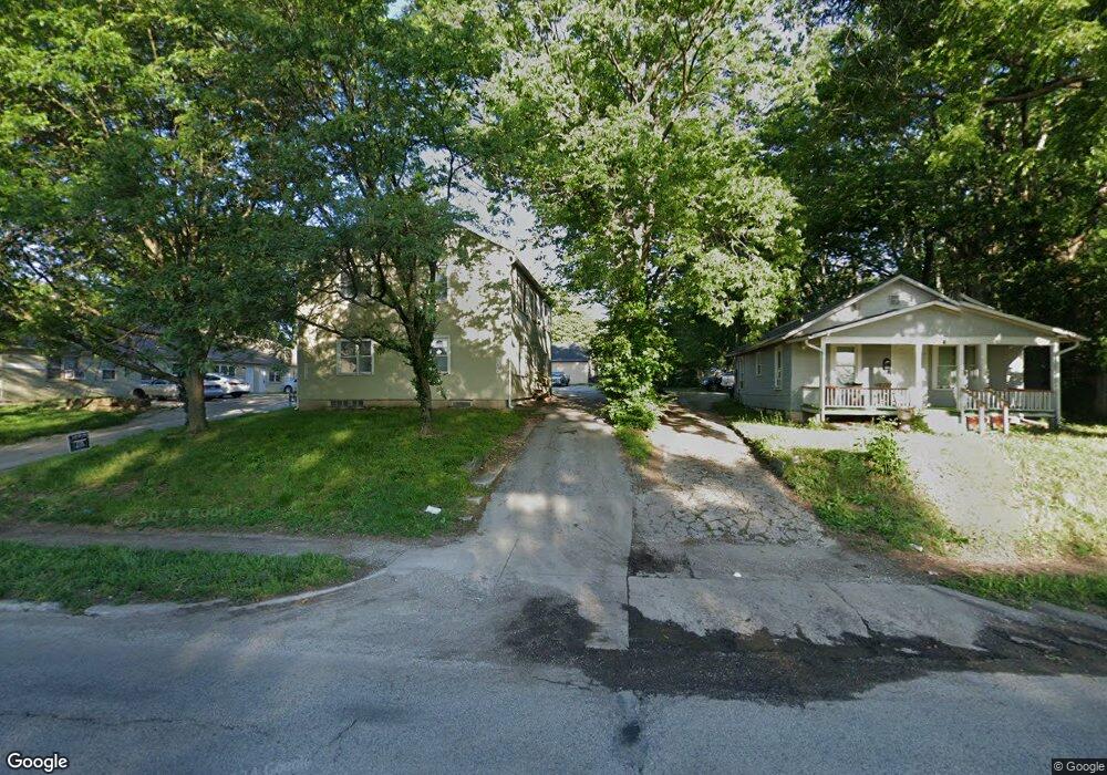
904 S Noland Rd Independence, MO 64050
Heart of Independence NeighborhoodEstimated Value: $99,000 - $153,000
2
Beds
1
Bath
748
Sq Ft
$172/Sq Ft
Est. Value
About This Home
This home is located at 904 S Noland Rd, Independence, MO 64050 and is currently estimated at $128,834, approximately $172 per square foot. 904 S Noland Rd is a home located in Jackson County with nearby schools including Santa Fe Trail Elementary School, Bridger Middle School, and Bingham Middle School.
Ownership History
Date
Name
Owned For
Owner Type
Purchase Details
Closed on
Jun 24, 2021
Sold by
Dellwest Properties Llc
Bought by
Chronieles Properties Llc
Current Estimated Value
Purchase Details
Closed on
May 2, 2019
Sold by
Ahring Brett
Bought by
Dellwest Properties Llc
Purchase Details
Closed on
Jul 21, 2009
Sold by
Ahring Brenda L and Middleton Robert B
Bought by
Ahring Brett
Create a Home Valuation Report for This Property
The Home Valuation Report is an in-depth analysis detailing your home's value as well as a comparison with similar homes in the area
Home Values in the Area
Average Home Value in this Area
Purchase History
| Date | Buyer | Sale Price | Title Company |
|---|---|---|---|
| Chronieles Properties Llc | -- | Continental Title Co | |
| Dellwest Properties Llc | -- | None Available | |
| Ahring Brett | -- | None Available | |
| Ahring Brett | -- | None Available |
Source: Public Records
Tax History
| Year | Tax Paid | Tax Assessment Tax Assessment Total Assessment is a certain percentage of the fair market value that is determined by local assessors to be the total taxable value of land and additions on the property. | Land | Improvement |
|---|---|---|---|---|
| 2025 | $1,035 | $7,788 | $3,684 | $4,104 |
| 2024 | $1,012 | $14,945 | $3,756 | $11,189 |
| 2023 | $1,012 | $14,945 | $3,456 | $11,489 |
| 2022 | $435 | $5,890 | $3,449 | $2,441 |
| 2021 | $435 | $5,890 | $3,449 | $2,441 |
| 2020 | $424 | $5,585 | $3,449 | $2,136 |
| 2019 | $418 | $5,585 | $3,449 | $2,136 |
| 2018 | $407 | $5,199 | $811 | $4,388 |
| 2017 | $407 | $5,199 | $811 | $4,388 |
| 2016 | $401 | $5,069 | $1,566 | $3,503 |
Source: Public Records
Map
Nearby Homes
- 921 S Noland Rd
- 1100 S Noland Rd
- 722 S Main St
- 904 S Pearl St
- 913 S Hocker Ave
- 925 S Emery St
- 1211 S Osage St
- 930 S Leslie St
- 1120 S Leslie St
- 1209 S Spring St
- 1312 S Pearl St
- 903 S Pope Ave
- 324 W Southside Blvd
- 1215 S Pleasant St
- 426 E Short Ave
- 1339 S Hocker Ave
- 1340 S Emery Ave
- 211 S Pearl St
- 611 W 23rd St
- 914 E South Ave
- 906 S Noland Rd
- 912 S Noland Rd
- 901 S Noland Rd
- 914 S Noland Rd
- 907 S Main St
- 911 S Noland Rd
- 820 S Noland Rd
- 802 S Noland Rd
- 831 S Noland Rd
- 915 S Main St
- 916 S Noland Rd
- 921 S Main St
- 913 S Noland Rd
- 917 S Noland Rd
- 925 S Main St
- 926 S Noland Rd
- 915 S Noland Rd
- 933 S Main St
- 206 E Sea Ave
- 209 E Sea Ave
Your Personal Tour Guide
Ask me questions while you tour the home.