9041 W Port Royale Ln Peoria, AZ 85381
Arrowhead NeighborhoodEstimated Value: $356,721 - $429,000
2
Beds
2
Baths
1,321
Sq Ft
$304/Sq Ft
Est. Value
About This Home
This home is located at 9041 W Port Royale Ln, Peoria, AZ 85381 and is currently estimated at $400,930, approximately $303 per square foot. 9041 W Port Royale Ln is a home located in Maricopa County with nearby schools including Desert Harbor Elementary School, Centennial High School, and Sonoran Science Academy-Peoria.
Ownership History
Date
Name
Owned For
Owner Type
Purchase Details
Closed on
May 30, 2025
Sold by
Duncan David S
Bought by
Duncan Trust and Duncan
Current Estimated Value
Purchase Details
Closed on
Jun 6, 2002
Sold by
Mcguire Michael W and Mcguire Gail S
Bought by
Duncan David S
Home Financials for this Owner
Home Financials are based on the most recent Mortgage that was taken out on this home.
Original Mortgage
$125,000
Interest Rate
6.83%
Mortgage Type
New Conventional
Purchase Details
Closed on
Jul 11, 1995
Sold by
Gae Corp
Bought by
Mcguire Michael W and Mcguire Gail S
Home Financials for this Owner
Home Financials are based on the most recent Mortgage that was taken out on this home.
Original Mortgage
$97,250
Interest Rate
7.59%
Mortgage Type
New Conventional
Purchase Details
Closed on
Feb 27, 1995
Sold by
Allison Donald R
Bought by
Anderson Michael C
Create a Home Valuation Report for This Property
The Home Valuation Report is an in-depth analysis detailing your home's value as well as a comparison with similar homes in the area
Home Values in the Area
Average Home Value in this Area
Purchase History
| Date | Buyer | Sale Price | Title Company |
|---|---|---|---|
| Duncan Trust | -- | None Listed On Document | |
| Duncan David S | $134,900 | Capital Title Agency Inc | |
| Mcguire Michael W | $108,060 | Security Title Agency | |
| Anderson Michael C | -- | United Title Agency |
Source: Public Records
Mortgage History
| Date | Status | Borrower | Loan Amount |
|---|---|---|---|
| Previous Owner | Duncan David S | $125,000 | |
| Previous Owner | Mcguire Michael W | $97,250 |
Source: Public Records
Tax History Compared to Growth
Tax History
| Year | Tax Paid | Tax Assessment Tax Assessment Total Assessment is a certain percentage of the fair market value that is determined by local assessors to be the total taxable value of land and additions on the property. | Land | Improvement |
|---|---|---|---|---|
| 2025 | $1,696 | $18,660 | -- | -- |
| 2024 | $1,711 | $17,771 | -- | -- |
| 2023 | $1,711 | $29,700 | $5,940 | $23,760 |
| 2022 | $1,677 | $23,720 | $4,740 | $18,980 |
| 2021 | $1,756 | $22,720 | $4,540 | $18,180 |
| 2020 | $1,768 | $20,860 | $4,170 | $16,690 |
| 2019 | $1,714 | $18,300 | $3,660 | $14,640 |
| 2018 | $1,663 | $16,860 | $3,370 | $13,490 |
| 2017 | $1,658 | $16,050 | $3,210 | $12,840 |
| 2016 | $1,629 | $13,950 | $2,790 | $11,160 |
| 2015 | $1,525 | $14,010 | $2,800 | $11,210 |
Source: Public Records
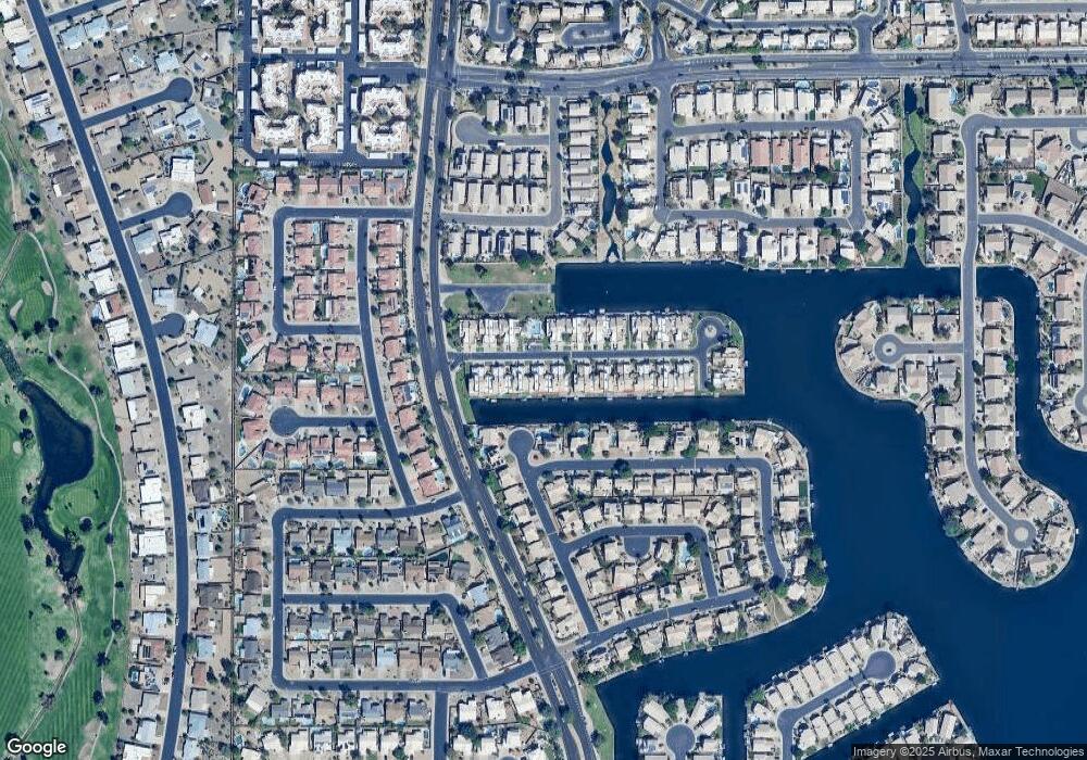
Map
Nearby Homes
- 9056 W Port Royale Ln
- 15091 N 90th Dr
- 15099 N 89th Ave
- 9151 W Greenway Rd Unit 288
- 9151 W Greenway Rd Unit 150
- 9151 W Greenway Rd Unit 162
- 14566 N 90th Ln
- 15211 N 89th Ave
- 14407 N 75th Dr
- 14429 N 75th Dr
- 9002 W Caribbean Ln
- 14830 N Cameo Dr
- 14841 N 87th Ln
- 14610 N Bolivar Dr
- 14618 N Shiprock Dr
- 9405 W Rolling Hills Dr
- 14433 N Cameo Dr
- 14617 N 87th Dr
- 14548 N 87th Ave
- 9409 W Indian Hills Dr
- 9043 W Port Royale Ln
- 9039 W Port Royale Ln
- 9037 W Port Royale Ln
- 9045 W Port Royale Ln
- 9045 W Port Royale Ln
- 9047 W Port Royale Ln
- 9033 W Port Royale Ln
- 9049 W Port Royale Ln
- 9035 W Port Royale Ln
- 9031 W Port Royale Ln
- 9038 W Port Royale Ln
- 9051 W Port Royale Ln
- 9036 W Port Royale Ln
- 9034 W Port Royale Ln
- 9029 W Port Royale Ln
- 9048 W Port Royale Ln
- 9053 W Port Royale Ln
- 9032 W Port Royale Ln
- 9050 W Port Royale Ln
- 9054 W Mauna Loa Ln