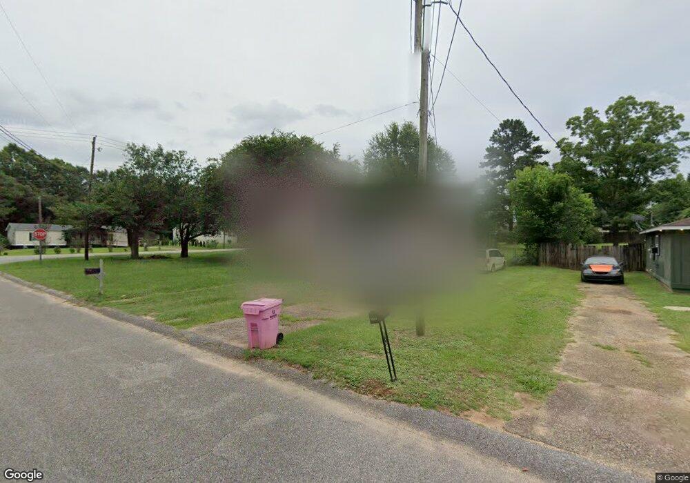
9045 Brushfire Ct Semmes, AL 36575
Rothfield NeighborhoodEstimated Value: $148,249 - $194,000
3
Beds
2
Baths
1,200
Sq Ft
$145/Sq Ft
Est. Value
About This Home
This home is located at 9045 Brushfire Ct, Semmes, AL 36575 and is currently estimated at $174,062, approximately $145 per square foot. 9045 Brushfire Ct is a home located in Mobile County with nearby schools including Allentown Elementary School, Semmes Middle School, and Mary G Montgomery High School.
Ownership History
Date
Name
Owned For
Owner Type
Purchase Details
Closed on
Dec 19, 2000
Sold by
Ray Long Builders Inc
Bought by
Abidi Parwaiz S and Parwaiz Rifat
Current Estimated Value
Home Financials for this Owner
Home Financials are based on the most recent Mortgage that was taken out on this home.
Original Mortgage
$54,400
Interest Rate
7.81%
Purchase Details
Closed on
Nov 30, 2000
Sold by
Laurendine John B and Laurendine Deborah E
Bought by
Ray Long Builders Inc
Home Financials for this Owner
Home Financials are based on the most recent Mortgage that was taken out on this home.
Original Mortgage
$54,400
Interest Rate
7.81%
Purchase Details
Closed on
Dec 17, 1998
Sold by
Lee Stanford Donna and Stanford Kyle Stanford
Bought by
Laurendine John B
Home Financials for this Owner
Home Financials are based on the most recent Mortgage that was taken out on this home.
Original Mortgage
$68,916
Interest Rate
6.9%
Mortgage Type
FHA
Create a Home Valuation Report for This Property
The Home Valuation Report is an in-depth analysis detailing your home's value as well as a comparison with similar homes in the area
Home Values in the Area
Average Home Value in this Area
Purchase History
| Date | Buyer | Sale Price | Title Company |
|---|---|---|---|
| Abidi Parwaiz S | -- | -- | |
| Ray Long Builders Inc | -- | -- | |
| Laurendine John B | -- | -- |
Source: Public Records
Mortgage History
| Date | Status | Borrower | Loan Amount |
|---|---|---|---|
| Closed | Abidi Parwaiz S | $54,400 | |
| Previous Owner | Laurendine John B | $68,916 |
Source: Public Records
Tax History Compared to Growth
Tax History
| Year | Tax Paid | Tax Assessment Tax Assessment Total Assessment is a certain percentage of the fair market value that is determined by local assessors to be the total taxable value of land and additions on the property. | Land | Improvement |
|---|---|---|---|---|
| 2024 | $1,039 | $22,320 | $4,800 | $17,520 |
| 2023 | $1,083 | $20,420 | $4,880 | $15,540 |
| 2022 | $864 | $17,820 | $4,300 | $13,520 |
| 2021 | $845 | $17,420 | $3,900 | $13,520 |
| 2020 | $845 | $17,420 | $3,900 | $13,520 |
| 2019 | $931 | $19,200 | $0 | $0 |
| 2018 | $911 | $18,780 | $0 | $0 |
| 2017 | $861 | $17,760 | $0 | $0 |
| 2016 | $887 | $18,280 | $0 | $0 |
| 2013 | $918 | $18,720 | $0 | $0 |
Source: Public Records
Map
Nearby Homes
- 9143 Prairie Dr
- 1820 Wagon Wheel Dr
- 9410 Chisholm Ct
- 8650 Howells Ferry Rd
- 1671 Ranch House Dr
- 1779 Ranch House Dr
- 8570 Howells Ferry Rd
- 8751 Glen Acres Dr N
- 1497 Champion Cove
- 9441 Homestead Dr S
- 108 Keene St
- 1551 Homestead Dr W
- 2613 Windmere Dr E
- 2606 Windmere Dr E
- 2616 Windmere Dr E
- 1330 Penny Lakes Dr
- 8416 Vinley Ct
- 2269 Farrington Loop E
- 2400 Waterford Rd
- 1770 Woodland Hills Dr W
- 9055 Brushfire Ct
- 9040 Brushfire Ct
- 9059 Brushfire Ct
- 9050 Brushfire Ct
- 9060 Rawhide Ct
- 1675 Hubert Pierce Rd
- 9061 Brushfire Ct
- 9071 Brushfire Ct
- 9070 Rawhide Ct
- 1665 Hubert Pierce Rd
- 9065 Brushfire Ct
- 1761 Ponderosa Place
- 1750 Ponderosa Place
- 9100 Brushfire Ct
- 8970 Howells Ct N
- 1658 Hubert Pierce Rd
- 1658 Hubert Pierce Rd Unit 2
- 9083 Rawhide Ct
- 9080 Rawhide Ct
- 1657 Hubert Pierce Rd