9046 State Route 83 Holmesville, OH 44633
Estimated Value: $292,000 - $635,000
3
Beds
2
Baths
1,664
Sq Ft
$244/Sq Ft
Est. Value
About This Home
This home is located at 9046 State Route 83, Holmesville, OH 44633 and is currently estimated at $406,237, approximately $244 per square foot. 9046 State Route 83 is a home located in Holmes County with nearby schools including Waynedale High School, DIAMOND VIEW, and Country Lane.
Ownership History
Date
Name
Owned For
Owner Type
Purchase Details
Closed on
Sep 7, 2022
Sold by
Wengerd Jacob A and Wengerd Rachel L
Bought by
Wengerd Ian Lee
Current Estimated Value
Home Financials for this Owner
Home Financials are based on the most recent Mortgage that was taken out on this home.
Original Mortgage
$250,000
Outstanding Balance
$226,947
Interest Rate
5.22%
Mortgage Type
New Conventional
Estimated Equity
$179,290
Purchase Details
Closed on
Jul 31, 2000
Bought by
Wengerd Jacob A and Wengerd Rachel L
Purchase Details
Closed on
Jan 1, 1990
Bought by
Miller Henry E
Create a Home Valuation Report for This Property
The Home Valuation Report is an in-depth analysis detailing your home's value as well as a comparison with similar homes in the area
Home Values in the Area
Average Home Value in this Area
Purchase History
| Date | Buyer | Sale Price | Title Company |
|---|---|---|---|
| Wengerd Ian Lee | -- | -- | |
| Wengerd Jacob A | $47,500 | -- | |
| Miller Henry E | -- | -- |
Source: Public Records
Mortgage History
| Date | Status | Borrower | Loan Amount |
|---|---|---|---|
| Open | Wengerd Ian Lee | $250,000 |
Source: Public Records
Tax History Compared to Growth
Tax History
| Year | Tax Paid | Tax Assessment Tax Assessment Total Assessment is a certain percentage of the fair market value that is determined by local assessors to be the total taxable value of land and additions on the property. | Land | Improvement |
|---|---|---|---|---|
| 2024 | $4,415 | $114,520 | $49,490 | $65,030 |
| 2023 | $4,415 | $114,520 | $49,490 | $65,030 |
| 2022 | $4,626 | $115,710 | $49,490 | $66,220 |
| 2021 | $4,179 | $100,340 | $42,170 | $58,170 |
| 2020 | $4,225 | $100,340 | $42,170 | $58,170 |
| 2019 | $4,122 | $100,340 | $42,170 | $58,170 |
| 2018 | $3,512 | $88,540 | $35,550 | $52,990 |
| 2017 | $3,570 | $88,610 | $35,550 | $53,060 |
| 2016 | $3,611 | $88,610 | $35,550 | $53,060 |
| 2015 | $3,436 | $82,560 | $29,950 | $52,610 |
| 2014 | $3,411 | $81,580 | $29,950 | $51,630 |
| 2013 | $1,772 | $81,580 | $29,950 | $51,630 |
Source: Public Records
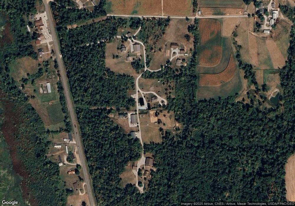
Map
Nearby Homes
- 7904 Hoy Rd
- 10840 County Road 1
- 591 N Mill St Unit B
- 591 N Mill St Unit D
- 591 N Mill St
- 591 N Mill St Unit C
- 591 N Mill St Unit A
- 292 E Mcconkey St
- 286 E Robinson St
- 236 Jones St
- 283 E Wood St
- 270 Church St
- 265 S Main St
- 261 N Main St
- 4554 E Moreland Rd
- 770 N Market St
- 6424 S Honeytown Rd
- 9139 County Road 51
- 10441 Township Road 262
- 7869 County Road 51
- 8920 State Route 83
- 8912 State Route 83
- 9050 State Route 83
- 8965 State Route 83
- 9048 State Route 83
- 9057 State Route 83
- 8949 State Route 83
- 8949 Sr 83
- 9091 State Route 83
- 9106 State Route 83
- 8830 State Route 83
- 8824 State Route 83
- 9176 State Route 83 Unit 1
- 9155 County Road 245
- 8813 Township Road 561
- 9999 Tr 561
- 8935 Township Road 561
- 9157 County Road 245
- 8811 Township Road 561
- 8809 Township Road 561