9048 Tavistock Ct Unit Bldg-Unit Plymouth, MI 48170
Estimated Value: $332,000 - $446,000
--
Bed
2
Baths
1,514
Sq Ft
$243/Sq Ft
Est. Value
About This Home
This home is located at 9048 Tavistock Ct Unit Bldg-Unit, Plymouth, MI 48170 and is currently estimated at $368,484, approximately $243 per square foot. 9048 Tavistock Ct Unit Bldg-Unit is a home located in Wayne County with nearby schools including Canton High School, East Middle School, and Salem High School.
Ownership History
Date
Name
Owned For
Owner Type
Purchase Details
Closed on
Jun 14, 2022
Sold by
Nancy Mehner
Bought by
Mehner Berndt
Current Estimated Value
Purchase Details
Closed on
Jan 5, 2018
Sold by
Cimmings Matthew and Cimmings Jennifer
Bought by
Mehner Berndt
Purchase Details
Closed on
Nov 20, 2012
Sold by
Tacs 2 Llc
Bought by
Cummings Matthew
Create a Home Valuation Report for This Property
The Home Valuation Report is an in-depth analysis detailing your home's value as well as a comparison with similar homes in the area
Home Values in the Area
Average Home Value in this Area
Purchase History
| Date | Buyer | Sale Price | Title Company |
|---|---|---|---|
| Mehner Berndt | -- | None Listed On Document | |
| Mehner Berndt | $195,000 | None Available | |
| Cummings Matthew | $160,000 | None Available | |
| Cummings Matthew | -- | First Centennial Title Agenc | |
| Tacs 2 Llc | $160,000 | First Centennial Title Agenc |
Source: Public Records
Tax History Compared to Growth
Tax History
| Year | Tax Paid | Tax Assessment Tax Assessment Total Assessment is a certain percentage of the fair market value that is determined by local assessors to be the total taxable value of land and additions on the property. | Land | Improvement |
|---|---|---|---|---|
| 2025 | $2,591 | $163,500 | $0 | $0 |
| 2024 | $2,591 | $152,700 | $0 | $0 |
| 2023 | $2,469 | $125,700 | $0 | $0 |
| 2022 | $3,288 | $116,100 | $0 | $0 |
| 2021 | $3,191 | $112,500 | $0 | $0 |
| 2019 | $3,091 | $93,590 | $0 | $0 |
| 2018 | $1,713 | $88,410 | $0 | $0 |
| 2017 | $3,588 | $24,300 | $0 | $0 |
| 2016 | $3,367 | $81,800 | $0 | $0 |
| 2015 | $7,174 | $80,850 | $0 | $0 |
| 2013 | $7,065 | $73,580 | $0 | $0 |
| 2012 | -- | $70,680 | $18,360 | $52,320 |
Source: Public Records
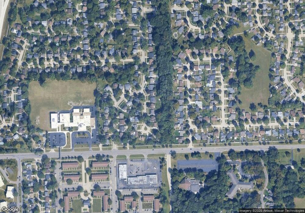
Map
Nearby Homes
- 9215 Westbury Ave
- 39122 Dover St
- 9130 E Bassett Ct
- 38876 Northfield Ave
- 9365 Tavistock Dr
- 8894 Knolson Ave
- 40522 Newport Dr
- 40526 Newport Dr Unit 99
- 38671 Belliveau St
- 8364 Holly Dr
- 9498 Bassett St
- 40504 Newport Dr
- 40584 Newport Ct
- 8231 Holly Dr
- 40554 Newport Dr
- 40643 Newport Dr Unit 273
- 40699 Newport Dr Unit 256
- 40105 Newport Dr Unit 358
- 38831 Orangelawn St
- 7655 Koppernick Rd
- 9048 Tavistock Ct
- 9054 Tavistock Ct
- 9042 Tavistock Ct
- 9060 Tavistock Ct
- 9036 Tavistock Ct
- 8952 Tavistock Dr
- 9066 Tavistock Dr
- 9030 Tavistock Ct
- 8988 Tavistock Ct
- 8994 Tavistock Ct
- 8940 Tavistock Dr
- 9078 Tavistock Dr
- 8947 W Deborah Ct
- 8925 W Deborah Ct
- 8963 W Deborah Ct
- 8901 W Deborah Ct
- 9000 Tavistock Ct
- 9067 Tavistock Dr
- 8981 W Deborah Ct
- 8883 W Deborah Ct