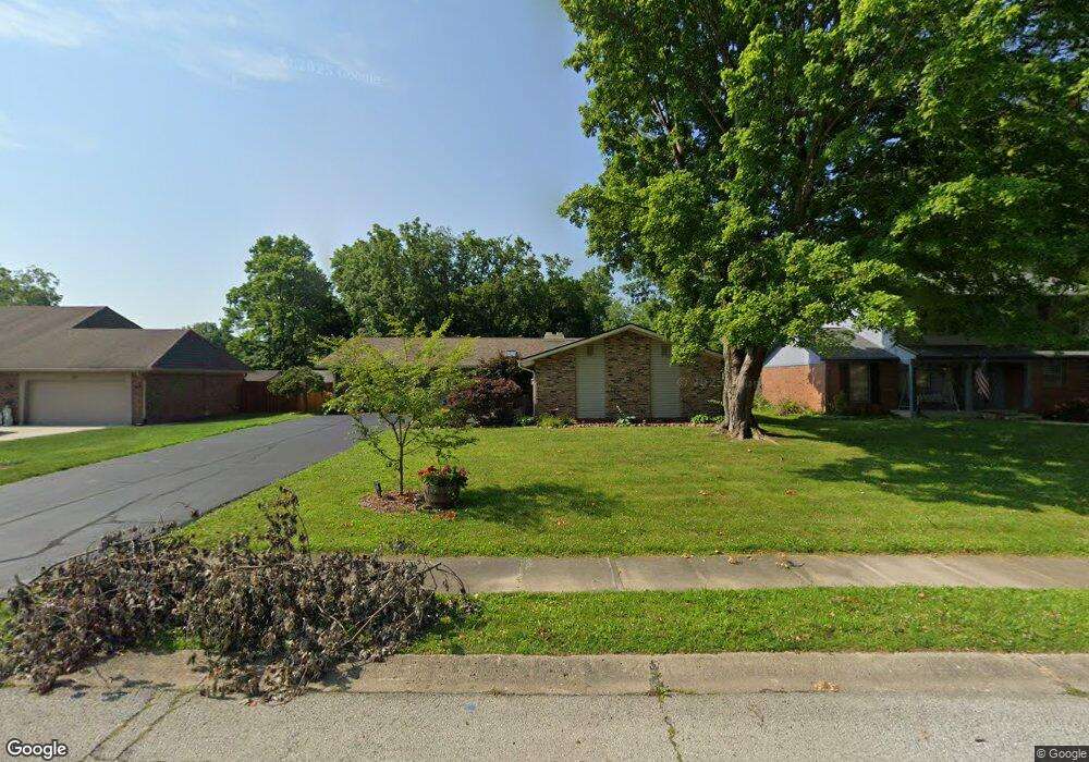
905 Briarwood Dr Greenwood, IN 46142
Estimated Value: $295,000 - $343,678
3
Beds
3
Baths
2,050
Sq Ft
$158/Sq Ft
Est. Value
About This Home
This home is located at 905 Briarwood Dr, Greenwood, IN 46142 and is currently estimated at $323,420, approximately $157 per square foot. 905 Briarwood Dr is a home located in Johnson County with nearby schools including Southwest Elementary School, Greenwood Middle School, and Greenwood Community High School.
Ownership History
Date
Name
Owned For
Owner Type
Purchase Details
Closed on
Aug 28, 2009
Sold by
Willham Douglas M and Willham Tracey J
Bought by
Lawson David R
Current Estimated Value
Home Financials for this Owner
Home Financials are based on the most recent Mortgage that was taken out on this home.
Original Mortgage
$139,200
Outstanding Balance
$91,036
Interest Rate
5.19%
Mortgage Type
New Conventional
Estimated Equity
$232,384
Create a Home Valuation Report for This Property
The Home Valuation Report is an in-depth analysis detailing your home's value as well as a comparison with similar homes in the area
Home Values in the Area
Average Home Value in this Area
Purchase History
| Date | Buyer | Sale Price | Title Company |
|---|---|---|---|
| Lawson David R | -- | Chicago Title |
Source: Public Records
Mortgage History
| Date | Status | Borrower | Loan Amount |
|---|---|---|---|
| Open | Lawson David R | $139,200 |
Source: Public Records
Tax History Compared to Growth
Tax History
| Year | Tax Paid | Tax Assessment Tax Assessment Total Assessment is a certain percentage of the fair market value that is determined by local assessors to be the total taxable value of land and additions on the property. | Land | Improvement |
|---|---|---|---|---|
| 2025 | $2,317 | $292,600 | $32,600 | $260,000 |
| 2024 | $2,317 | $247,400 | $33,100 | $214,300 |
| 2023 | $2,311 | $249,600 | $33,100 | $216,500 |
| 2022 | $2,437 | $242,200 | $33,100 | $209,100 |
| 2021 | $2,168 | $222,900 | $33,100 | $189,800 |
| 2020 | $1,883 | $198,700 | $33,100 | $165,600 |
| 2019 | $1,705 | $182,800 | $33,100 | $149,700 |
| 2018 | $1,721 | $193,200 | $13,800 | $179,400 |
| 2017 | $1,602 | $174,400 | $13,800 | $160,600 |
| 2016 | $1,433 | $174,400 | $13,800 | $160,600 |
| 2014 | $1,567 | $164,800 | $23,000 | $141,800 |
| 2013 | $1,567 | $160,100 | $23,000 | $137,100 |
Source: Public Records
Map
Nearby Homes
- 167 Howard Rd
- 344 Lawnwood Dr
- 1007 Mount Vernon Ct
- 1021 Hudson Bay Dr
- 0 W Main St Unit MBR22035913
- 601 Lawnwood Dr
- 129 Back Creek Overlook
- 1081 Lawndale Dr
- 1065 Lawndale Ct
- 610 Wood Dale Terrace
- 837 Wilderness Ln
- 854 Richart Ln
- 147 Plymouth Rock Ct
- 399 Us Highway 31 N
- 935 Fry Rd
- 520 Valley Lane Dr N
- 564 Parkhurst Ct
- 583 Shady Creek Dr
- 783 Colonial Way
- 500 Averitt Rd
- 913 Briarwood Dr
- 897 Briarwood Dr
- 919 Briarwood Dr
- 885 Briarwood Dr
- 991 Briarwood Dr
- 140 Appletree Row
- 900 Briarwood Dr
- 910 Briarwood Dr
- 888 Briarwood Dr
- 929 Briarwood Dr
- 918 Briarwood Dr
- 110 Appletree Row
- 876 Briarwood Dr
- 928 Briarwood Dr
- 939 Briarwood Dr
- 869 Briarwood Dr
- 155 Appletree Row
- 80 Appletree Row
- 897 Sleepy Hollow Place
- 891 Sleepy Hollow Place