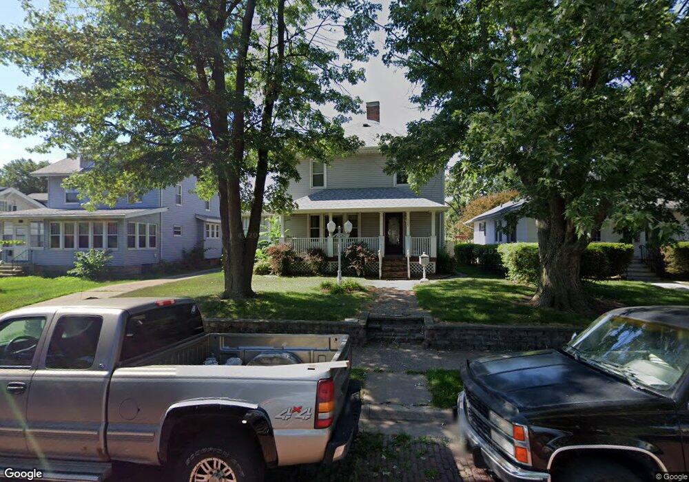
905 E High St Davenport, IA 52803
Near North Side NeighborhoodEstimated Value: $206,000 - $221,000
3
Beds
2
Baths
1,930
Sq Ft
$110/Sq Ft
Est. Value
About This Home
This home is located at 905 E High St, Davenport, IA 52803 and is currently estimated at $212,934, approximately $110 per square foot. 905 E High St is a home located in Scott County with nearby schools including Garfield Elementary School, Sudlow Intermediate School, and Central High School.
Ownership History
Date
Name
Owned For
Owner Type
Purchase Details
Closed on
Jun 20, 2005
Sold by
Broyles Jason E and Broyles Sara
Bought by
Sierra Gilbert G
Current Estimated Value
Home Financials for this Owner
Home Financials are based on the most recent Mortgage that was taken out on this home.
Original Mortgage
$145,000
Outstanding Balance
$74,234
Interest Rate
5.86%
Mortgage Type
New Conventional
Estimated Equity
$138,700
Purchase Details
Closed on
Mar 3, 2005
Sold by
Federal National Mortgage Association
Bought by
Broyles Jason E and Broyles Sara
Home Financials for this Owner
Home Financials are based on the most recent Mortgage that was taken out on this home.
Original Mortgage
$116,000
Interest Rate
7.37%
Mortgage Type
Adjustable Rate Mortgage/ARM
Create a Home Valuation Report for This Property
The Home Valuation Report is an in-depth analysis detailing your home's value as well as a comparison with similar homes in the area
Home Values in the Area
Average Home Value in this Area
Purchase History
We collect this data history from publicly available records. To have your information removed, we recommend requesting removal directly through your county’s website.
| Date | Buyer | Sale Price | Title Company |
|---|---|---|---|
| Sierra Gilbert G | $145,000 | None Available | |
| Broyles Jason E | -- | None Available |
Source: Public Records
Mortgage History
We collect this data history from publicly available records. To have your information removed, we recommend requesting removal directly through your county’s website.
| Date | Status | Borrower | Loan Amount |
|---|---|---|---|
| Open | Sierra Gilbert G | $145,000 | |
| Previous Owner | Broyles Jason E | $116,000 |
Source: Public Records
Tax History
| Year | Tax Paid | Tax Assessment Tax Assessment Total Assessment is a certain percentage of the fair market value that is determined by local assessors to be the total taxable value of land and additions on the property. | Land | Improvement |
|---|---|---|---|---|
| 2025 | $3,162 | $206,480 | $32,340 | $174,140 |
| 2024 | $3,082 | $187,140 | $32,340 | $154,800 |
| 2023 | $3,474 | $187,140 | $32,340 | $154,800 |
| 2022 | $3,488 | $171,550 | $24,990 | $146,560 |
| 2021 | $3,488 | $171,550 | $24,990 | $146,560 |
| 2020 | $3,266 | $159,130 | $24,990 | $134,140 |
| 2019 | $3,240 | $152,910 | $24,990 | $127,920 |
| 2018 | $3,086 | $152,910 | $24,990 | $127,920 |
| 2017 | $830 | $149,200 | $24,990 | $124,210 |
| 2016 | $2,940 | $142,980 | $0 | $0 |
| 2015 | $2,940 | $147,830 | $0 | $0 |
| 2014 | $3,090 | $147,830 | $0 | $0 |
| 2013 | $3,032 | $0 | $0 | $0 |
| 2012 | -- | $144,550 | $24,280 | $120,270 |
Source: Public Records
Map
Nearby Homes
- 911 Grand Ct
- 908 Grand Ct
- 11 Oak Ln
- 1934 Grand Ave
- 1816 Davenport Ave
- 1009 Arlington Ct
- 1919 Farnam St
- 2132 Farnam St
- 2440 Arlington Ave
- 1102 Kirkwood Blvd
- 2123 Leclaire St
- 825 E Central Park Ave
- 2409 Farnam St
- 1938 Leclaire St
- 416 E Rusholme St
- 402 E Pleasant St
- 1818 Esplanade Ave
- 2213 Iowa St
- 2022 Iowa St
- 2221 Iowa St
Your Personal Tour Guide
Ask me questions while you tour the home.