905 Fork Point Rd Oriental, NC 28571
Estimated Value: $650,000
Studio
--
Bath
--
Sq Ft
2.29
Acres
About This Home
This home is located at 905 Fork Point Rd, Oriental, NC 28571 and is currently priced at $650,000. 905 Fork Point Rd is a home located in Pamlico County with nearby schools including Pamlico County Primary School, Fred A. Anderson Elementary School, and Pamlico County Middle School.
Ownership History
Date
Name
Owned For
Owner Type
Purchase Details
Closed on
May 26, 2011
Sold by
Winberg Jean M
Bought by
Goff Stephen A and Brown Devon L
Current Estimated Value
Purchase Details
Closed on
Mar 21, 2003
Bought by
Lasalle Bank National Asso.
Purchase Details
Closed on
Jul 1, 2002
Bought by
Anderson Tammy L
Purchase Details
Closed on
Feb 5, 1999
Bought by
Estate Of Rosa Diemo/Dennis Lupton
Purchase Details
Closed on
Apr 1, 1986
Bought by
Winberg William
Create a Home Valuation Report for This Property
The Home Valuation Report is an in-depth analysis detailing your home's value as well as a comparison with similar homes in the area
Home Values in the Area
Average Home Value in this Area
Purchase History
| Date | Buyer | Sale Price | Title Company |
|---|---|---|---|
| Goff Stephen A | $185,000 | -- | |
| Lasalle Bank National Asso. | $150,000 | -- | |
| Anderson Tammy L | $150,000 | -- | |
| Estate Of Rosa Diemo/Dennis Lupton | $150,000 | -- | |
| Winberg William | $2,800 | -- |
Source: Public Records
Tax History
| Year | Tax Paid | Tax Assessment Tax Assessment Total Assessment is a certain percentage of the fair market value that is determined by local assessors to be the total taxable value of land and additions on the property. | Land | Improvement |
|---|---|---|---|---|
| 2025 | $827 | $117,134 | $99,787 | $17,347 |
| 2024 | $827 | $117,134 | $99,787 | $17,347 |
| 2023 | $804 | $117,134 | $99,787 | $17,347 |
| 2022 | $804 | $117,134 | $99,787 | $17,347 |
| 2021 | $804 | $117,134 | $99,787 | $17,347 |
| 2020 | $804 | $117,134 | $99,787 | $17,347 |
| 2019 | $1,243 | $181,101 | $167,714 | $13,387 |
| 2018 | $1,243 | $0 | $0 | $0 |
| 2017 | $1,243 | $0 | $0 | $0 |
| 2016 | $1,243 | $0 | $0 | $0 |
| 2015 | $1,220 | $177,776 | $167,714 | $10,062 |
| 2014 | $1,220 | $177,776 | $167,714 | $10,062 |
Source: Public Records
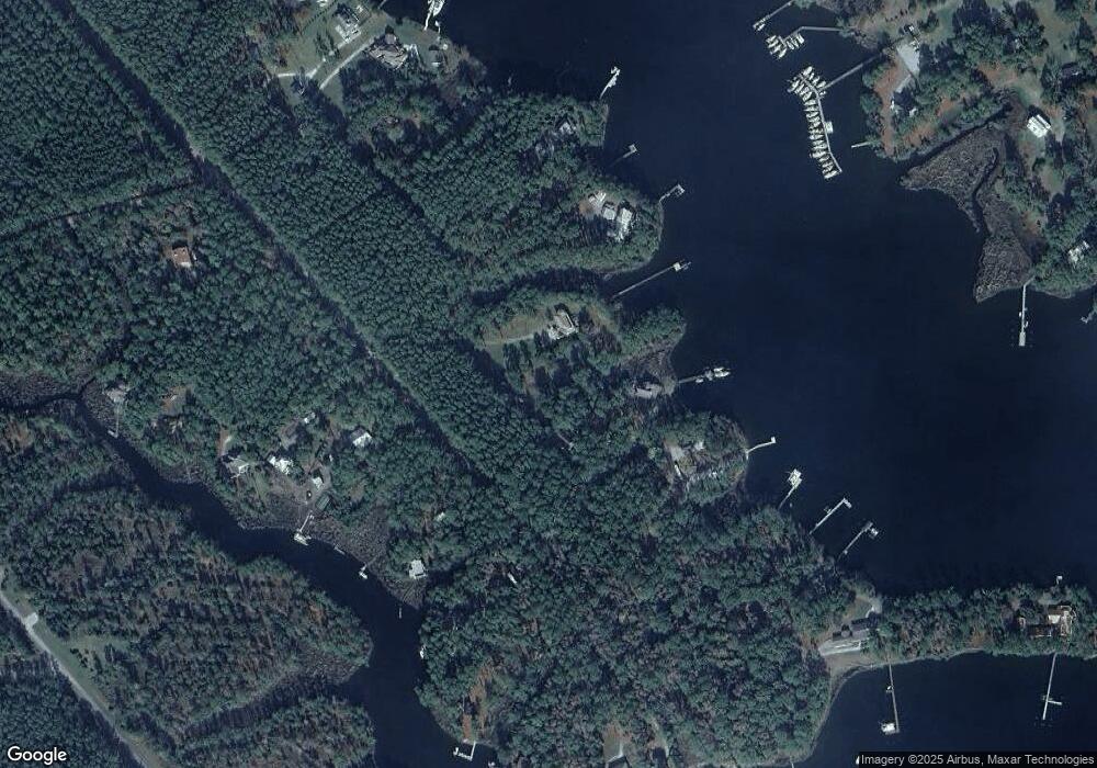
Map
Nearby Homes
- 60 Pier Point Rd N
- 170 Waters Edge E Ln
- 258 Port Dr
- 48 Port Dr
- Lot 1 Port Dr
- 318 Old Lupton Rd
- 4227 Orchard Creek Rd
- 0 Shore Dr E Unit 100526936
- 0 Shore Dr E Unit 100538811
- Off Straight Rd Unit LotWP001
- 538 Mills Rd
- 2896 Brown Creek Rd
- 202 Mills Rd
- 0 Orchard Creek Rd Unit 100554043
- 499 Tar Creek Rd
- 375 Tar Creek Rd
- 365 Tar Creek Rd
- 142 Broadview Point
- 87 Broadview
- 39 Croaker Rd
- 890 Fork Point Rd
- 994 Fork Point Rd
- 1134 Fork Point Rd
- 1025 Fork Point Rd
- 1042 Fork Point Rd
- 365 Arnetta Way
- 180 Arnetta Way
- 106 Pier Point N
- 706 Fork Point Rd
- 748 Fork Point Rd
- 110 Pier Point N
- 778 Fork Point Rd
- 276 Arnetta Way
- 808 Fork Point Rd
- 90 Pier Point Rd N
- 834 Fork Point Rd
- 217 Arnetta Way
- 846 Fork Point Rd
- 34 Fork Point Rd W
- 30 Fork Point Rd W