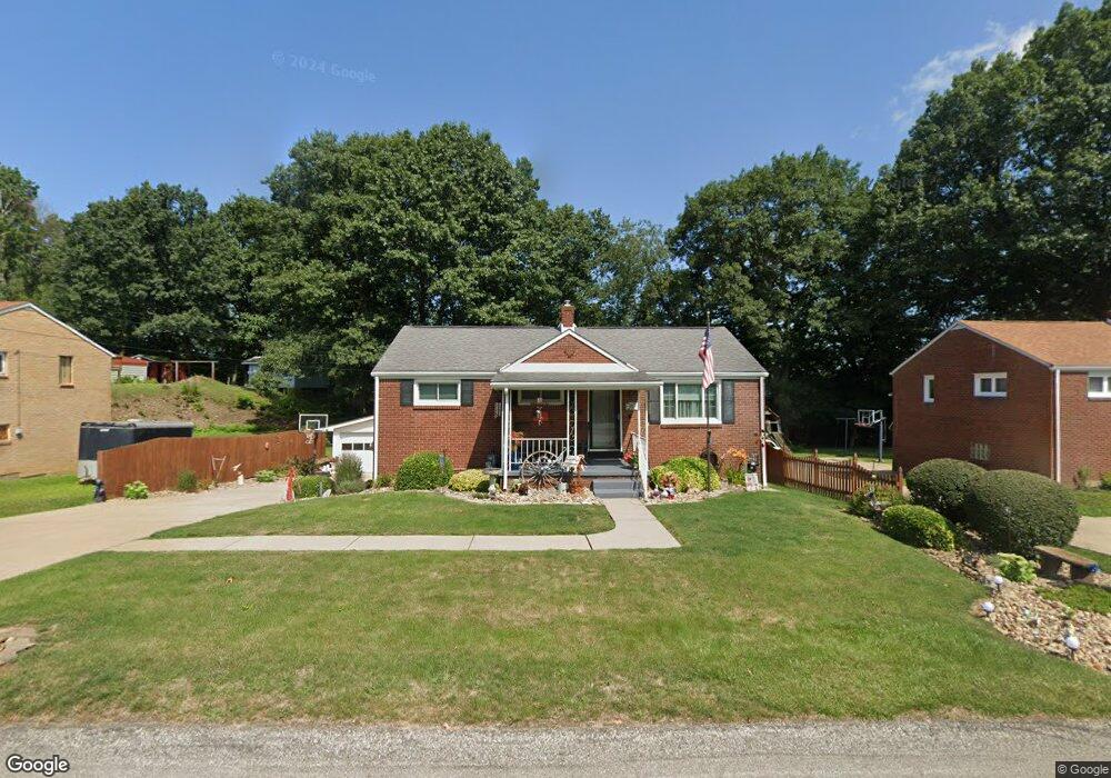
905 Foster St Clairton, PA 15025
Estimated Value: $140,333 - $191,000
3
Beds
1
Bath
1,000
Sq Ft
$162/Sq Ft
Est. Value
About This Home
This home is located at 905 Foster St, Clairton, PA 15025 and is currently estimated at $161,833, approximately $161 per square foot. 905 Foster St is a home located in Allegheny County with nearby schools including Jefferson Hills Intermediate School, Pleasant Hills Middle School, and Thomas Jefferson High School.
Ownership History
Date
Name
Owned For
Owner Type
Purchase Details
Closed on
Apr 30, 2008
Sold by
Secy Of H U D
Bought by
Theiss William S
Current Estimated Value
Home Financials for this Owner
Home Financials are based on the most recent Mortgage that was taken out on this home.
Original Mortgage
$66,500
Outstanding Balance
$42,356
Interest Rate
5.99%
Mortgage Type
New Conventional
Estimated Equity
$119,477
Purchase Details
Closed on
Aug 6, 2007
Sold by
Crouch Brian M
Bought by
Secy Of H U D
Purchase Details
Closed on
Feb 10, 2004
Sold by
Geary Brian S
Bought by
Crouch Brian M
Home Financials for this Owner
Home Financials are based on the most recent Mortgage that was taken out on this home.
Original Mortgage
$104,000
Interest Rate
5.8%
Mortgage Type
FHA
Create a Home Valuation Report for This Property
The Home Valuation Report is an in-depth analysis detailing your home's value as well as a comparison with similar homes in the area
Home Values in the Area
Average Home Value in this Area
Purchase History
| Date | Buyer | Sale Price | Title Company |
|---|---|---|---|
| Theiss William S | $70,000 | -- | |
| Secy Of H U D | $4,697 | -- | |
| Crouch Brian M | $105,000 | -- |
Source: Public Records
Mortgage History
| Date | Status | Borrower | Loan Amount |
|---|---|---|---|
| Open | Theiss William S | $66,500 | |
| Previous Owner | Crouch Brian M | $104,000 |
Source: Public Records
Tax History Compared to Growth
Tax History
| Year | Tax Paid | Tax Assessment Tax Assessment Total Assessment is a certain percentage of the fair market value that is determined by local assessors to be the total taxable value of land and additions on the property. | Land | Improvement |
|---|---|---|---|---|
| 2025 | $2,192 | $65,200 | $30,500 | $34,700 |
| 2024 | $2,192 | $65,200 | $30,500 | $34,700 |
| 2023 | $2,162 | $65,200 | $30,500 | $34,700 |
| 2022 | $2,130 | $65,200 | $30,500 | $34,700 |
| 2021 | $677 | $65,200 | $30,500 | $34,700 |
| 2020 | $2,076 | $65,200 | $30,500 | $34,700 |
| 2019 | $2,036 | $65,200 | $30,500 | $34,700 |
| 2018 | $308 | $65,200 | $30,500 | $34,700 |
| 2017 | $1,957 | $65,200 | $30,500 | $34,700 |
| 2016 | $308 | $65,200 | $30,500 | $34,700 |
| 2015 | $308 | $65,200 | $30,500 | $34,700 |
| 2014 | $1,824 | $65,200 | $30,500 | $34,700 |
Source: Public Records
Map
Nearby Homes
- 1252 Wall Ave
- 133 Coal Valley Rd
- 1045 Pennsylvania Ave
- 1019 Pennsylvania Ave
- 1017 Pennsylvania Ave
- 811 N State St
- 756 N 6th St
- 211 Pennsylvania Ave
- 373 New York Ave
- 574 State Route 885
- 962 Ohio Ave
- 1319 New England Rd
- 717 N 6th St
- 124 Carnegie Ave
- 132 Carnegie Ave
- 203 Elm St
- 839 Michigan Ave
- 534 State Route 885
- 526 State Route 885
- 1049 Delaware Ave