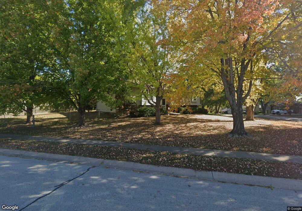
905 Glendale Rd Liberty, MO 64068
Estimated Value: $267,000 - $358,000
3
Beds
2
Baths
1,622
Sq Ft
$201/Sq Ft
Est. Value
About This Home
This home is located at 905 Glendale Rd, Liberty, MO 64068 and is currently estimated at $326,545, approximately $201 per square foot. 905 Glendale Rd is a home located in Clay County with nearby schools including Alexander Doniphan Elementary School, Discovery Middle School, and Liberty High School.
Ownership History
Date
Name
Owned For
Owner Type
Purchase Details
Closed on
Apr 29, 2002
Sold by
Reeves Douglas D and Reeves Rene
Bought by
Overman James M and Overman Leslie M
Current Estimated Value
Home Financials for this Owner
Home Financials are based on the most recent Mortgage that was taken out on this home.
Original Mortgage
$140,577
Outstanding Balance
$60,028
Interest Rate
7.09%
Estimated Equity
$266,517
Create a Home Valuation Report for This Property
The Home Valuation Report is an in-depth analysis detailing your home's value as well as a comparison with similar homes in the area
Home Values in the Area
Average Home Value in this Area
Purchase History
| Date | Buyer | Sale Price | Title Company |
|---|---|---|---|
| Overman James M | -- | Thomson Title Corp |
Source: Public Records
Mortgage History
| Date | Status | Borrower | Loan Amount |
|---|---|---|---|
| Open | Overman James M | $140,577 |
Source: Public Records
Tax History
| Year | Tax Paid | Tax Assessment Tax Assessment Total Assessment is a certain percentage of the fair market value that is determined by local assessors to be the total taxable value of land and additions on the property. | Land | Improvement |
|---|---|---|---|---|
| 2025 | $3,106 | $46,400 | -- | -- |
| 2024 | $3,106 | $40,380 | -- | -- |
| 2023 | $3,158 | $40,380 | $0 | $0 |
| 2022 | $2,915 | $36,800 | $0 | $0 |
| 2021 | $2,892 | $36,803 | $6,650 | $30,153 |
| 2020 | $2,670 | $31,900 | $0 | $0 |
| 2019 | $2,670 | $31,900 | $0 | $0 |
Source: Public Records
Map
Nearby Homes
- 429 Pershing St
- 509 Belmont St
- 406 Melrose St
- 407 Glendale Rd
- Lot 2 Bent Oaks Dr
- 2116 Winding Woods Dr
- Lot 2A Oak Crest Dr
- 405 Wherritt Ln
- 1601 Dunwich Dr
- 7218 N Lewis Ave
- 7503 N Lewis Ave
- 1561 Parkside Dr
- 7511 N Lewis Ave
- 1327 Easton Ct
- 7629 N Booth Ave
- 7620 N Booth Ave
- 7644 N Booth Ave
- 7616 N Booth Ave
- 9008 NE 80th St
- 8325 NE 76th Terrace
- 430 Kingsley St
- 901 Glendale Rd
- 433 Pershing St
- 426 Kingsley St
- 908 Glendale Rd
- 1001 Glendale Rd
- 904 Glendale Rd
- 435 Kingsley St
- 435 Kingsley Ave
- 912 Glendale Rd
- 900 Glendale Rd
- 431 Kingsley St
- 916 Glendale Rd
- 422 Kingsley St
- 427 Kingsley St
- 425 Pershing St
- 920 Glendale Rd
- 436 Pershing St
- 907 Midjay Dr
- 911 Midjay Dr
Your Personal Tour Guide
Ask me questions while you tour the home.