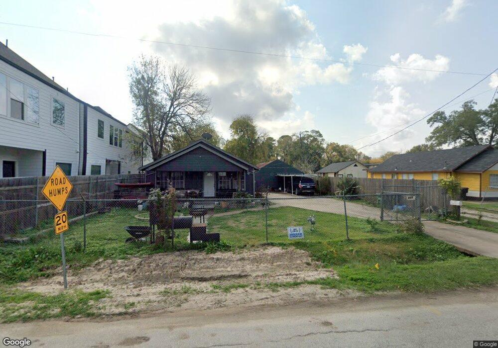
905 Martin St Houston, TX 77018
Oak Forest-Garden Oaks NeighborhoodEstimated Value: $317,000 - $469,000
2
Beds
1
Bath
1,266
Sq Ft
$314/Sq Ft
Est. Value
About This Home
This home is located at 905 Martin St, Houston, TX 77018 and is currently estimated at $397,863, approximately $314 per square foot. 905 Martin St is a home located in Harris County with nearby schools including Durham Elementary School, Frank Black Middle School, and Waltrip High School.
Ownership History
Date
Name
Owned For
Owner Type
Purchase Details
Closed on
May 20, 2002
Sold by
Etie Walter Timothy and Etie Kelly R
Bought by
Colorado Amador Avila and Colorado Aurora J
Current Estimated Value
Home Financials for this Owner
Home Financials are based on the most recent Mortgage that was taken out on this home.
Original Mortgage
$72,000
Outstanding Balance
$30,467
Interest Rate
6.96%
Mortgage Type
Seller Take Back
Estimated Equity
$367,396
Purchase Details
Closed on
Oct 2, 1995
Sold by
Etie Walter A
Bought by
Etie Walter Timothy
Create a Home Valuation Report for This Property
The Home Valuation Report is an in-depth analysis detailing your home's value as well as a comparison with similar homes in the area
Home Values in the Area
Average Home Value in this Area
Purchase History
| Date | Buyer | Sale Price | Title Company |
|---|---|---|---|
| Colorado Amador Avila | -- | Chicago Title | |
| Etie Walter Timothy | -- | -- |
Source: Public Records
Mortgage History
| Date | Status | Borrower | Loan Amount |
|---|---|---|---|
| Open | Colorado Amador Avila | $72,000 |
Source: Public Records
Tax History Compared to Growth
Tax History
| Year | Tax Paid | Tax Assessment Tax Assessment Total Assessment is a certain percentage of the fair market value that is determined by local assessors to be the total taxable value of land and additions on the property. | Land | Improvement |
|---|---|---|---|---|
| 2025 | $3,692 | $465,197 | $419,034 | $46,163 |
| 2024 | $3,692 | $422,085 | $369,149 | $52,936 |
| 2023 | $3,692 | $363,175 | $319,264 | $43,911 |
| 2022 | $4,949 | $333,873 | $299,310 | $34,563 |
| 2021 | $4,762 | $307,144 | $279,356 | $27,788 |
| 2020 | $4,498 | $259,469 | $229,471 | $29,998 |
| 2019 | $4,273 | $212,877 | $169,609 | $43,268 |
| 2018 | $2,821 | $179,703 | $119,724 | $59,979 |
| 2017 | $3,529 | $139,561 | $59,862 | $79,699 |
| 2016 | $3,529 | $139,561 | $59,862 | $79,699 |
| 2015 | $2,260 | $137,125 | $59,862 | $77,263 |
| 2014 | $2,260 | $118,013 | $59,862 | $58,151 |
Source: Public Records
Map
Nearby Homes
- 808 Woodcrest Dr Unit A
- 807 Martin St Unit D
- 807 Martin St Unit C
- 810 Martin St
- 910 1/2 Oak St
- 812 Thornton Rd Unit B
- 817 Thornton Rd Unit G
- 817 Thornton Rd Unit F
- 4854 Brinkman St
- 811 Thornton Rd Unit B
- 9388 Plan at Thornton Oaks
- 9384 Plan at Thornton Oaks
- 719 Thornton Rd Unit B
- 719 Thornton Rd Unit E
- 719 Thornton Rd Unit A
- 719 Thornton Rd Unit F
- 717 Janisch Rd Unit C
- 717 Janisch Rd Unit I
- 717 Janisch Rd Unit E
- 717 Janisch Rd Unit D