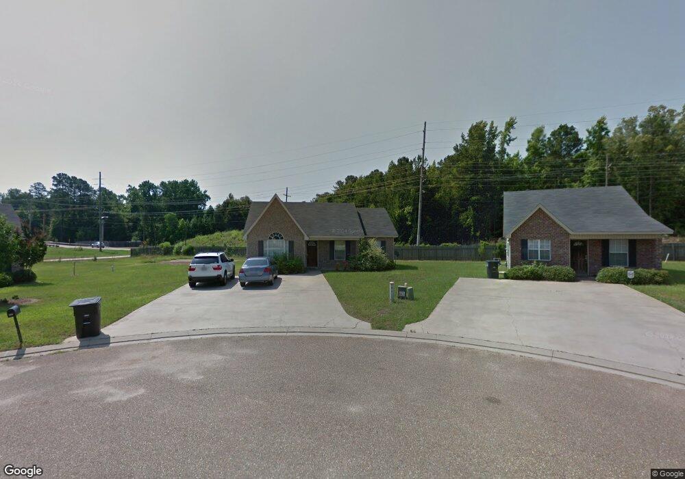
905 Moss Hill Dr Ruston, LA 71270
Estimated Value: $188,000 - $196,000
Studio
--
Bath
1,049
Sq Ft
$183/Sq Ft
Est. Value
About This Home
This home is located at 905 Moss Hill Dr, Ruston, LA 71270 and is currently estimated at $192,168, approximately $183 per square foot. 905 Moss Hill Dr is a home located in Lincoln Parish with nearby schools including Glen View Elementary School, Cypress Springs Elementary School, and Ruston Junior High School.
Ownership History
Date
Name
Owned For
Owner Type
Purchase Details
Closed on
Aug 25, 2006
Sold by
Bryan & Freeman Development Inc
Bought by
Eshman Manning William Jesup and Eshman Manning Martha
Current Estimated Value
Home Financials for this Owner
Home Financials are based on the most recent Mortgage that was taken out on this home.
Original Mortgage
$85,052
Interest Rate
6.75%
Mortgage Type
Purchase Money Mortgage
Create a Home Valuation Report for This Property
The Home Valuation Report is an in-depth analysis detailing your home's value as well as a comparison with similar homes in the area
Purchase History
| Date | Buyer | Sale Price | Title Company |
|---|---|---|---|
| Eshman Manning William Jesup | $113,403 | None Available |
Source: Public Records
Mortgage History
| Date | Status | Borrower | Loan Amount |
|---|---|---|---|
| Closed | Eshman Manning William Jesup | $85,052 |
Source: Public Records
Tax History
| Year | Tax Paid | Tax Assessment Tax Assessment Total Assessment is a certain percentage of the fair market value that is determined by local assessors to be the total taxable value of land and additions on the property. | Land | Improvement |
|---|---|---|---|---|
| 2025 | $1,156 | $13,538 | $3,240 | $10,298 |
| 2024 | $1,156 | $13,538 | $3,240 | $10,298 |
| 2023 | $1,139 | $12,812 | $2,079 | $10,733 |
| 2022 | $1,144 | $12,812 | $2,079 | $10,733 |
| 2021 | $1,059 | $12,812 | $2,079 | $10,733 |
| 2020 | $931 | $11,202 | $2,079 | $9,123 |
| 2019 | $954 | $11,745 | $2,079 | $9,666 |
| 2018 | $928 | $11,745 | $2,079 | $9,666 |
| 2017 | $930 | $11,745 | $2,079 | $9,666 |
| 2016 | $927 | $0 | $0 | $0 |
| 2015 | $919 | $10,698 | $1,890 | $8,808 |
| 2013 | $933 | $10,698 | $1,890 | $8,808 |
Source: Public Records
Map
Nearby Homes
- 1113 Lisa Ln
- 1111 Rita Ln
- 901 Pennington Ln
- 542 Toma Lodge Dr
- 1114 Abby Ln
- 1112 Wedgewood Dr
- Kavanaugh Rd
- 1508 Bonaparte Dr
- 2158 Llangeler Dr
- 1507 Dauphine Dr
- 904 Sherwood Dr
- 1904 Mimosa Cir
- 521 Audubon Dr
- 218 Huey Ave
- 516 Glendale Dr
- 1804 Corley St
- 1322 Cooktown Rd
- 1607 N Trenton St
- 0 Gordon Dr
- 1715 N Trenton St
- 2408 Old Creek Rd
- 907 Moss Hill Dr
- 2410 Old Creek Rd
- 1007 Moss Hill Dr
- 2411 Old Creek Rd
- 2412 Old Creek Rd
- 1009 Moss Hill Dr
- 2413 Old Creek Rd
- 2410 Creekwood Dr
- 2416 Old Creek Rd
- 2415 Old Creek Rd
- 2412 Creekwood Dr
- 1103 Moss Hill Dr
- 2420 Old Creek Rd
- 2416 Creekwood Dr
- 2419 Old Creek Rd
- 1102 Moss Hill Dr
- 1201 W Kentucky Ave
- 2422 Old Creek Rd
- 2418 Creekwood Dr
Your Personal Tour Guide
Ask me questions while you tour the home.