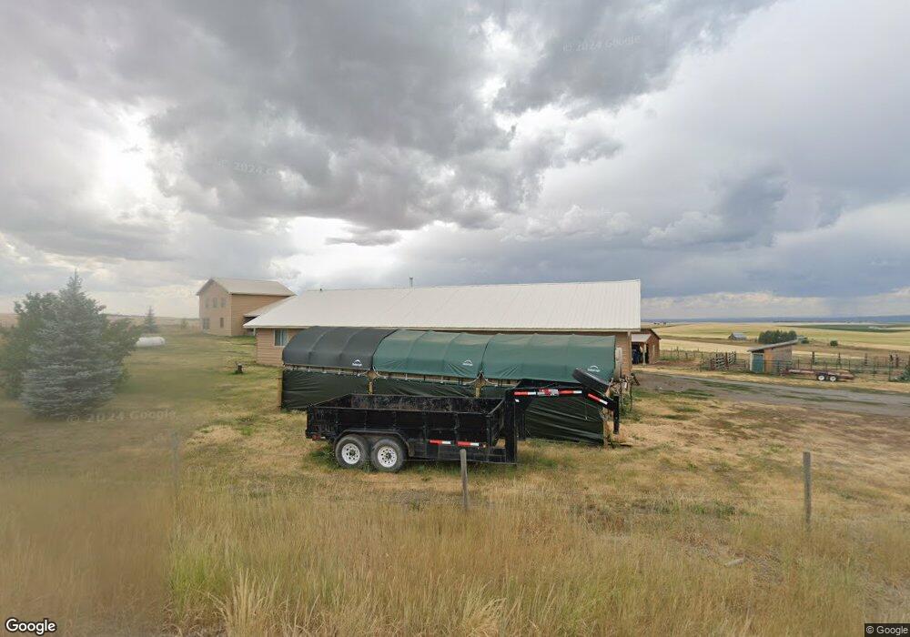
905 N 4500 E Ashton, ID 83420
Estimated Value: $750,000 - $1,308,515
4
Beds
2
Baths
5,900
Sq Ft
$179/Sq Ft
Est. Value
About This Home
This home is located at 905 N 4500 E, Ashton, ID 83420 and is currently estimated at $1,054,379, approximately $178 per square foot. 905 N 4500 E is a home located in Fremont County with nearby schools including Ashton Elementary School and North Fremont Junior/Senior High School.
Ownership History
Date
Name
Owned For
Owner Type
Purchase Details
Closed on
Oct 28, 2025
Sold by
Endecott Jack and Endecott Pauline
Bought by
Jack And Pauline Endecott Living Trust and Endecott
Current Estimated Value
Purchase Details
Closed on
Jan 29, 2021
Sold by
Endecott Jack R and Endecott Pauline H
Bought by
Endecott Jack and Endecott Pauline
Purchase Details
Closed on
Apr 24, 2009
Sold by
Endecott Jack and Endecott Pauline
Bought by
Endecott Jack R and Endecott Pauline H
Home Financials for this Owner
Home Financials are based on the most recent Mortgage that was taken out on this home.
Original Mortgage
$328,000
Interest Rate
4.99%
Mortgage Type
New Conventional
Create a Home Valuation Report for This Property
The Home Valuation Report is an in-depth analysis detailing your home's value as well as a comparison with similar homes in the area
Purchase History
| Date | Buyer | Sale Price | Title Company |
|---|---|---|---|
| Jack And Pauline Endecott Living Trust | -- | None Listed On Document | |
| Endecott Jack | -- | First American Title Rexburg | |
| Endecott Jack R | -- | -- |
Source: Public Records
Mortgage History
| Date | Status | Borrower | Loan Amount |
|---|---|---|---|
| Previous Owner | Endecott Jack R | $328,000 |
Source: Public Records
Tax History
| Year | Tax Paid | Tax Assessment Tax Assessment Total Assessment is a certain percentage of the fair market value that is determined by local assessors to be the total taxable value of land and additions on the property. | Land | Improvement |
|---|---|---|---|---|
| 2025 | $3,037 | $828,819 | $69,197 | $759,622 |
| 2024 | $2,913 | $807,773 | $69,197 | $738,576 |
| 2023 | $2,768 | $807,773 | $69,197 | $738,576 |
| 2022 | $3,705 | $606,595 | $36,382 | $570,213 |
| 2021 | $2,822 | $342,950 | $36,382 | $306,568 |
| 2020 | $3,031 | $349,199 | $36,382 | $312,817 |
| 2019 | $3,030 | $349,199 | $36,382 | $312,817 |
| 2018 | $3,087 | $334,657 | $36,382 | $298,275 |
| 2017 | $32 | $320,938 | $35,291 | $285,647 |
| 2016 | $3,167 | $326,193 | $35,291 | $290,902 |
| 2015 | $2,852 | $385,948 | $0 | $0 |
| 2014 | $2,609 | $302,028 | $0 | $0 |
| 2013 | $2,609 | $304,948 | $0 | $0 |
Source: Public Records
Map
Nearby Homes
- 775 N N 4700 E
- 775 N 4700 E
- TBD N 4600 E
- 0 N 4600 E
- Lot 19 E 1200 Rd N
- Lot 16 E 1200 Rd N
- Lot 18 E 1200 Rd N
- Lot 17 E 1200 Rd N
- TBD 84AC E 1200 Rd N
- TBD Hwy 32
- 4585 E 1400 N
- 4451 Golden Eagle Dr
- Lot 11 Potpourri Dr
- 4523 S Elk Loop Rd
- 4531 Moose Ln
- 4449 Grey Owl Dr
- 3938 Schaefer Ln
- 3887 Schaefer Ln
- 1582 Maggie Ln
- 4376 Granite Ridge
Your Personal Tour Guide
Ask me questions while you tour the home.