905 O Bryant Rd Reidsville, NC 27320
Estimated Value: $185,000 - $340,000
3
Beds
3
Baths
1,568
Sq Ft
$171/Sq Ft
Est. Value
About This Home
This home is located at 905 O Bryant Rd, Reidsville, NC 27320 and is currently estimated at $268,667, approximately $171 per square foot. 905 O Bryant Rd is a home located in Rockingham County with nearby schools including Bethany Elementary School, Rockingham County Middle School, and Rockingham County High School.
Ownership History
Date
Name
Owned For
Owner Type
Purchase Details
Closed on
Jun 9, 2006
Sold by
Hsbc Bank Usa
Bought by
Ladd Allen D and Ladd Frances C
Current Estimated Value
Home Financials for this Owner
Home Financials are based on the most recent Mortgage that was taken out on this home.
Original Mortgage
$106,000
Outstanding Balance
$62,424
Interest Rate
6.6%
Mortgage Type
New Conventional
Estimated Equity
$206,243
Purchase Details
Closed on
Feb 14, 2006
Sold by
Gammon Cecil V and Gammon Cheryl M
Bought by
Hsbc Bank Usa
Create a Home Valuation Report for This Property
The Home Valuation Report is an in-depth analysis detailing your home's value as well as a comparison with similar homes in the area
Home Values in the Area
Average Home Value in this Area
Purchase History
| Date | Buyer | Sale Price | Title Company |
|---|---|---|---|
| Ladd Allen D | $133,000 | None Available | |
| Hsbc Bank Usa | $114,750 | None Available |
Source: Public Records
Mortgage History
| Date | Status | Borrower | Loan Amount |
|---|---|---|---|
| Open | Ladd Allen D | $106,000 |
Source: Public Records
Tax History Compared to Growth
Tax History
| Year | Tax Paid | Tax Assessment Tax Assessment Total Assessment is a certain percentage of the fair market value that is determined by local assessors to be the total taxable value of land and additions on the property. | Land | Improvement |
|---|---|---|---|---|
| 2025 | $1,844 | $283,249 | $31,306 | $251,943 |
| 2024 | $1,844 | $283,249 | $31,306 | $251,943 |
| 2023 | $1,844 | $179,250 | $28,460 | $150,790 |
| 2022 | $1,425 | $179,250 | $28,460 | $150,790 |
| 2021 | $1,425 | $179,250 | $28,460 | $150,790 |
| 2020 | $1,317 | $165,658 | $28,460 | $137,198 |
| 2019 | $1,317 | $165,658 | $28,460 | $137,198 |
| 2018 | $1,192 | $149,798 | $30,892 | $118,906 |
| 2017 | $1,192 | $149,798 | $30,892 | $118,906 |
| 2015 | $1,204 | $149,798 | $30,892 | $118,906 |
| 2014 | -- | $149,798 | $30,892 | $118,906 |
Source: Public Records
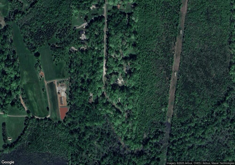
Map
Nearby Homes
- 858 Church Street Extension
- 223 Church Street Extension
- 6059 N Church St
- 8402 Cripplegate Trace
- 8435 Newgate Trace
- 8119 Spearman Rd
- 8111 Oak Arbor Rd
- 8110 Oak Arbor Rd
- 2917 Walbrook Terrace
- 1142 Tilburn Terrace
- 500 Sandra Jessup Ct
- 196 Walter Jessup Ct
- 401 Suzanne Jessup Ct
- 2904 Spencers Grove Rd
- 8103 Rogers Ct
- 8434 Exmoor Trace
- 8430 Exmoor Trace
- 8408 Lillys Ct
- Cali Plan at Wellington
- Penwell Plan at Wellington
- 905 O'Brient Rd
- 887 O Bryant Rd
- 921 O Bryant Rd
- 926 O Bryant Rd
- 782 Obryant Rd
- 782 O Bryant Rd
- 740 O Bryant Rd
- 714 O Bryant Rd
- 663 O Bryant Rd
- 663 Obryant Rd
- 650 O Bryant Rd
- 951 Church Street Extension
- 782 Waynick Rd
- 604 O Bryant Rd
- 580 O Bryant Rd
- 00 Rickman St
- 752 Waynick Rd
- 891 Church Street Extension
- 552 O Bryant Rd
- 722 Waynick Rd