905 Providence Ridge Alpharetta, GA 30004
Estimated Value: $1,337,573 - $1,760,000
4
Beds
5
Baths
4,500
Sq Ft
$339/Sq Ft
Est. Value
About This Home
This home is located at 905 Providence Ridge, Alpharetta, GA 30004 and is currently estimated at $1,525,143, approximately $338 per square foot. 905 Providence Ridge is a home located in Fulton County with nearby schools including Summit Hill Elementary School, Northwestern Middle School, and Milton High School.
Ownership History
Date
Name
Owned For
Owner Type
Purchase Details
Closed on
Oct 3, 2023
Sold by
Keene Caryn P
Bought by
Cardav Trust and Keene Caryn P Tr
Current Estimated Value
Purchase Details
Closed on
May 15, 2003
Sold by
Doug Banner Homes Llc
Bought by
Keene David B and Keene Caryn
Home Financials for this Owner
Home Financials are based on the most recent Mortgage that was taken out on this home.
Original Mortgage
$408,500
Interest Rate
5.56%
Mortgage Type
New Conventional
Purchase Details
Closed on
Dec 14, 2001
Sold by
Doug Banner Homes Llc
Bought by
Keene David B and Keene Caryn P
Home Financials for this Owner
Home Financials are based on the most recent Mortgage that was taken out on this home.
Original Mortgage
$408,000
Interest Rate
6.85%
Mortgage Type
New Conventional
Create a Home Valuation Report for This Property
The Home Valuation Report is an in-depth analysis detailing your home's value as well as a comparison with similar homes in the area
Home Values in the Area
Average Home Value in this Area
Purchase History
| Date | Buyer | Sale Price | Title Company |
|---|---|---|---|
| Cardav Trust | -- | -- | |
| Keene David B | -- | -- | |
| Keene David B | $510,000 | -- |
Source: Public Records
Mortgage History
| Date | Status | Borrower | Loan Amount |
|---|---|---|---|
| Previous Owner | Keene David B | $408,500 | |
| Previous Owner | Keene David B | $408,000 |
Source: Public Records
Tax History Compared to Growth
Tax History
| Year | Tax Paid | Tax Assessment Tax Assessment Total Assessment is a certain percentage of the fair market value that is determined by local assessors to be the total taxable value of land and additions on the property. | Land | Improvement |
|---|---|---|---|---|
| 2025 | $2,202 | $464,080 | $91,440 | $372,640 |
| 2023 | $13,099 | $464,080 | $91,440 | $372,640 |
| 2022 | $9,057 | $371,200 | $91,920 | $279,280 |
| 2021 | $7,482 | $287,400 | $71,480 | $215,920 |
| 2020 | $6,267 | $237,320 | $72,160 | $165,160 |
| 2019 | $1,218 | $242,240 | $62,640 | $179,600 |
| 2018 | $6,602 | $246,000 | $44,600 | $201,400 |
| 2017 | $7,757 | $277,800 | $95,000 | $182,800 |
| 2016 | $8,046 | $287,720 | $72,160 | $215,560 |
| 2015 | $9,369 | $287,720 | $72,160 | $215,560 |
| 2014 | $6,293 | $218,040 | $54,320 | $163,720 |
Source: Public Records
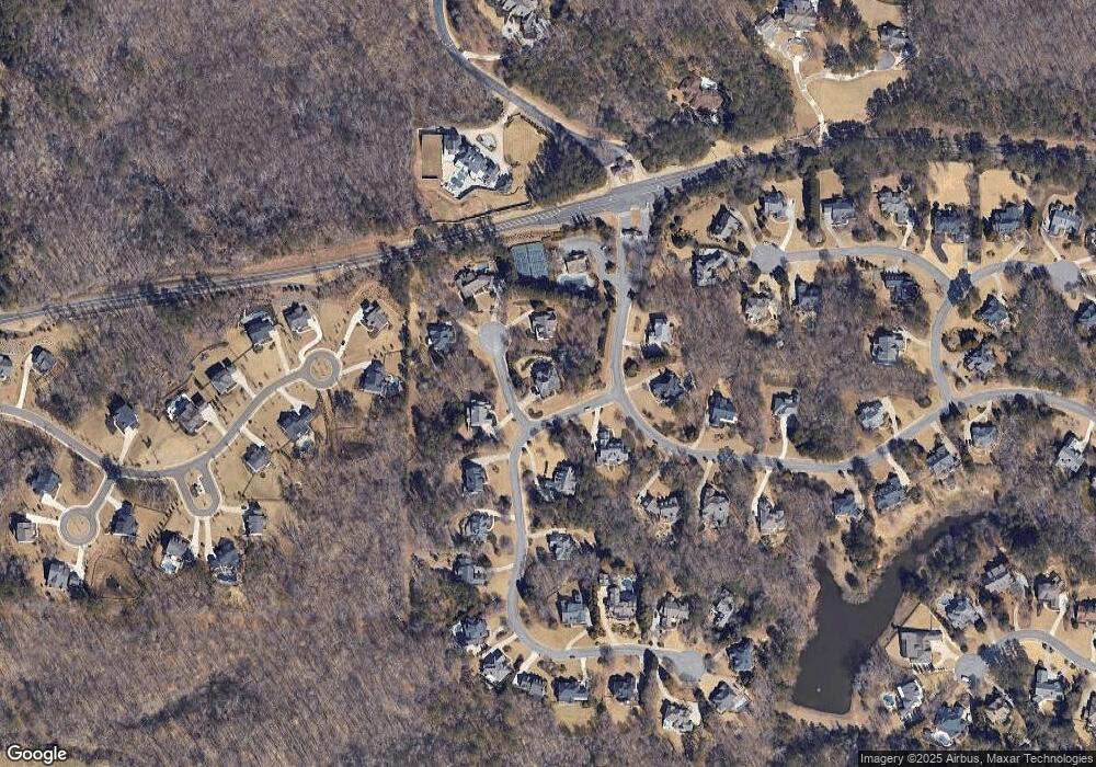
Map
Nearby Homes
- 775 Lake Mist Cove
- 345 Lake Bend Ct Unit 1
- 13560 Blakmaral Ln
- 13535 Blakmaral Ln
- 363 Gables Walk
- 13550 Blakmaral Ln
- 910 Pleasant Hollow Trail
- 13630 Birmingham Hwy
- 601 Dorris Rd
- 195 Horizon Hill
- 13980 Haystack Ln
- 380 Creek Point
- 520 Heathmill Ct
- 14300 Providence Rd
- 13250 Birmingham Hwy
- 13540 Providence Lake Dr
- 13340 New Providence Rd
- 195 Blackberry Ridge Trail
- 0 Providence Ridge
- 915 Providence Ridge
- 700 Lake Mist Cove
- 710 Lake Mist Cove
- 900 Providence Ridge
- 470 Glen National Dr
- 480 Glen National Dr
- 910 Providence Ridge
- 920 Providence Ridge
- 735 Lake Mist Cove
- 17 Atlanta National Dr
- 0 Lake Mist Cove Unit 7306613
- 0 Lake Mist Cove Unit 8460862
- 0 Lake Mist Cove Unit 8334284
- 0 Lake Mist Cove Unit 8224019
- 0 Lake Mist Cove Unit 8779924
- 0 Lake Mist Cove Unit 8475817
- 0 Lake Mist Cove Unit 7261063
- 0 Lake Mist Cove Unit 3237830
- 0 Lake Mist Cove