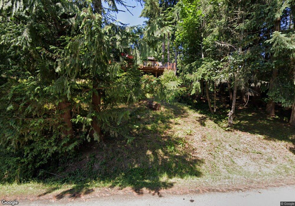
905 Spring Ln Centralia, WA 98531
Estimated Value: $584,000 - $914,000
4
Beds
2
Baths
3,383
Sq Ft
$204/Sq Ft
Est. Value
About This Home
This home is located at 905 Spring Ln, Centralia, WA 98531 and is currently estimated at $690,052, approximately $203 per square foot. 905 Spring Ln is a home located in Lewis County with nearby schools including Centralia Middle School, Centralia High School, and Evergreen Academy of Arts & Sciences.
Ownership History
Date
Name
Owned For
Owner Type
Purchase Details
Closed on
Feb 11, 2010
Sold by
Lawrence William H
Bought by
Deckert Larry D
Current Estimated Value
Home Financials for this Owner
Home Financials are based on the most recent Mortgage that was taken out on this home.
Original Mortgage
$219,622
Outstanding Balance
$145,933
Interest Rate
5.11%
Mortgage Type
VA
Estimated Equity
$544,119
Create a Home Valuation Report for This Property
The Home Valuation Report is an in-depth analysis detailing your home's value as well as a comparison with similar homes in the area
Home Values in the Area
Average Home Value in this Area
Purchase History
| Date | Buyer | Sale Price | Title Company |
|---|---|---|---|
| Deckert Larry D | $215,000 | Title Guaranty |
Source: Public Records
Mortgage History
| Date | Status | Borrower | Loan Amount |
|---|---|---|---|
| Open | Deckert Larry D | $219,622 |
Source: Public Records
Tax History Compared to Growth
Tax History
| Year | Tax Paid | Tax Assessment Tax Assessment Total Assessment is a certain percentage of the fair market value that is determined by local assessors to be the total taxable value of land and additions on the property. | Land | Improvement |
|---|---|---|---|---|
| 2024 | $3,612 | $551,000 | $125,000 | $426,000 |
| 2023 | $4,377 | $532,700 | $125,000 | $407,700 |
| 2022 | $3,460 | $349,600 | $54,000 | $295,600 |
| 2021 | $2,772 | $349,600 | $54,000 | $295,600 |
| 2020 | $3,349 | $312,200 | $54,000 | $258,200 |
| 2019 | $2,852 | $297,700 | $51,400 | $246,300 |
| 2018 | $2,867 | $243,400 | $41,800 | $201,600 |
| 2017 | $2,285 | $214,800 | $41,800 | $173,000 |
| 2016 | $1,949 | $226,100 | $44,000 | $182,100 |
| 2015 | $2,256 | $190,000 | $51,800 | $138,200 |
| 2013 | $2,256 | $190,450 | $51,750 | $138,700 |
Source: Public Records
Map
Nearby Homes
- 2808 Colonial Dr
- 1000 Barbara Ln
- 920 Barbara Ln
- 312 Blanchard Rd
- 1218 Scammon Creek Rd
- 2200 Cooks Hill Rd
- 34 xx Graf Rd
- 823 Landing Way
- 2322 Rosewood Ln
- 0 Eloah Way
- 615 Oakland Ave
- 405 Bryden Ave
- 807 Wayne Dr
- 3420 Prill Rd
- 119 River Heights Rd
- 0 Merry Glee Ln
- 3110 Borst Ave
- 3108 Borst Ave
- 1746 Military Rd
- 1107 Eshom Rd
- 912 Swanson Dr
- 916 Swanson Dr
- 910 Spring Ln
- 1004 Spring Ln
- 1004 Swanson Dr
- 904 Sunrise Ln
- 904 Spring Ln
- 811 Swanson Dr
- 1001 Swanson Dr
- 1008 Swanson Dr
- 907 Swanson Dr
- 824 Sunrise Ln
- 1005 Swanson Dr
- 1011 Spring Ln
- 1012 Swanson Dr
- 807 Swanson Dr
- 1007 Swanson Dr
- 819 Sunrise Ln
- 1016 Swanson Dr
- 1012 Spring Ln