905 State Route 357 Ave Put In Bay, OH 43456
Estimated Value: $876,000 - $1,401,477
2
Beds
4
Baths
2,716
Sq Ft
$453/Sq Ft
Est. Value
About This Home
This home is located at 905 State Route 357 Ave, Put In Bay, OH 43456 and is currently estimated at $1,229,619, approximately $452 per square foot. 905 State Route 357 Ave is a home with nearby schools including Put-In-Bay Elementary School and Put-In-Bay High School.
Ownership History
Date
Name
Owned For
Owner Type
Purchase Details
Closed on
Jun 14, 2013
Sold by
Root Carol L
Bought by
The Dellwood Estate Llc
Current Estimated Value
Purchase Details
Closed on
Oct 6, 2008
Sold by
Root Carol L
Bought by
Root Carol L and Amended & Restated Trust Agreement Of Ca
Purchase Details
Closed on
Apr 27, 2006
Sold by
Croy Paul E
Bought by
Root Carol Lee
Purchase Details
Closed on
Apr 17, 2006
Sold by
Estate Of Ronald W Root
Bought by
Croy Paul E and Ronald W Root Declaration Of Trust
Purchase Details
Closed on
Sep 30, 1992
Sold by
Stana Sandra
Bought by
Root Ronald W and Carol Lee
Purchase Details
Closed on
Sep 1, 1992
Create a Home Valuation Report for This Property
The Home Valuation Report is an in-depth analysis detailing your home's value as well as a comparison with similar homes in the area
Home Values in the Area
Average Home Value in this Area
Purchase History
| Date | Buyer | Sale Price | Title Company |
|---|---|---|---|
| The Dellwood Estate Llc | -- | Attorney | |
| Root Carol L | -- | Attorney | |
| Root Carol Lee | -- | None Available | |
| Croy Paul E | -- | None Available | |
| Root Ronald W | $308,000 | -- | |
| -- | $308,000 | -- |
Source: Public Records
Tax History Compared to Growth
Tax History
| Year | Tax Paid | Tax Assessment Tax Assessment Total Assessment is a certain percentage of the fair market value that is determined by local assessors to be the total taxable value of land and additions on the property. | Land | Improvement |
|---|---|---|---|---|
| 2024 | $15,179 | $510,164 | $297,451 | $212,713 |
| 2023 | $15,179 | $398,738 | $270,417 | $128,321 |
| 2022 | $12,298 | $398,738 | $270,417 | $128,321 |
| 2021 | $12,311 | $398,740 | $270,420 | $128,320 |
| 2020 | $11,884 | $369,780 | $250,390 | $119,390 |
| 2019 | $11,409 | $369,780 | $250,390 | $119,390 |
| 2018 | $11,513 | $369,780 | $250,390 | $119,390 |
| 2017 | $11,308 | $357,110 | $250,390 | $106,720 |
| 2016 | $11,233 | $357,110 | $250,390 | $106,720 |
| 2015 | $11,024 | $357,110 | $250,390 | $106,720 |
| 2014 | $7,704 | $260,970 | $85,580 | $175,390 |
| 2013 | $7,704 | $260,970 | $85,580 | $175,390 |
Source: Public Records
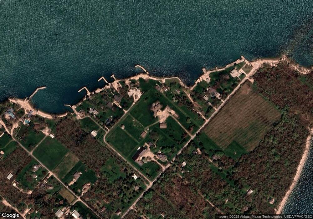
Map
Nearby Homes
- 1049 Ohio 357
- 824 State Route 357
- 389 Loraine Ave
- 90 Anchor Ln
- 400 Swartz Rd Unit 101
- 585 Victory Ln
- 1053 Harborview Dr
- 0 Runkel Rd Unit 20253633
- 569 Victory Ln
- 1 Runkle
- 495 Lake Rd
- 174 Booker Ln
- 0 Put-In-bay Rd Unit 5108785
- 70 Niese Place
- 0 Trenton Ave
- 1254 Tri-Motor Dr Unit 112
- 800 Evelyn Rd
- 1230 Tri-Motor Dr Unit 4
- 1 Elliot Ave
- 1230 Tri Motor Dr Unit 4
- 941 State Route 357
- 975 Columbus Ave
- 155 Roth Dr
- 161 Roth Dr
- 1025 State Route 357
- 827 State Route 357
- 838 State Route 357
- 1049 State Route 357
- 2 Roth Dr
- 175 Roth Dr
- 771 State Route 357
- 1089 State Route 357
- 101 Mikes Dr
- 81 Mikes Dr
- 719 Columbus Ave (St Rte 357)
- 719 Columbus Ave
- 719 Ohio 357
- 718 State Route 357
- 217 Memory
- 217 Mikes Dr