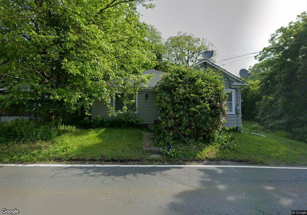
905 Swartswood Rd Newton, NJ 07860
Estimated Value: $213,000 - $330,000
--
Bed
--
Bath
1,024
Sq Ft
$273/Sq Ft
Est. Value
About This Home
This home is located at 905 Swartswood Rd, Newton, NJ 07860 and is currently estimated at $279,432, approximately $272 per square foot. 905 Swartswood Rd is a home located in Sussex County with nearby schools including Stillwater Township School and Kittatinny Regional High School.
Ownership History
Date
Name
Owned For
Owner Type
Purchase Details
Closed on
May 25, 2006
Sold by
Moles Evelyn and Hill Earle Ronald
Bought by
Hill David E
Current Estimated Value
Home Financials for this Owner
Home Financials are based on the most recent Mortgage that was taken out on this home.
Original Mortgage
$140,000
Outstanding Balance
$81,776
Interest Rate
6.55%
Mortgage Type
Purchase Money Mortgage
Estimated Equity
$197,656
Create a Home Valuation Report for This Property
The Home Valuation Report is an in-depth analysis detailing your home's value as well as a comparison with similar homes in the area
Home Values in the Area
Average Home Value in this Area
Purchase History
| Date | Buyer | Sale Price | Title Company |
|---|---|---|---|
| Hill David E | $175,000 | Chicago Title Insurance Co |
Source: Public Records
Mortgage History
| Date | Status | Borrower | Loan Amount |
|---|---|---|---|
| Open | Hill David E | $140,000 |
Source: Public Records
Tax History Compared to Growth
Tax History
| Year | Tax Paid | Tax Assessment Tax Assessment Total Assessment is a certain percentage of the fair market value that is determined by local assessors to be the total taxable value of land and additions on the property. | Land | Improvement |
|---|---|---|---|---|
| 2025 | $4,274 | $117,800 | $43,800 | $74,000 |
| 2024 | $4,137 | $117,800 | $43,800 | $74,000 |
| 2023 | $4,137 | $117,800 | $43,800 | $74,000 |
| 2022 | $4,010 | $117,800 | $43,800 | $74,000 |
| 2021 | $3,922 | $117,800 | $43,800 | $74,000 |
| 2020 | $3,780 | $117,800 | $43,800 | $74,000 |
| 2019 | $3,628 | $117,800 | $43,800 | $74,000 |
| 2018 | $3,638 | $117,800 | $43,800 | $74,000 |
| 2017 | $3,580 | $117,800 | $43,800 | $74,000 |
| 2016 | $3,480 | $117,800 | $43,800 | $74,000 |
| 2015 | $3,459 | $117,800 | $43,800 | $74,000 |
| 2014 | $3,435 | $117,800 | $43,800 | $74,000 |
Source: Public Records
Map
Nearby Homes
- 1055-1057 Rt521
- 1049 County Road 521
- 32 W Lakeside Ln
- 25 County Road 521
- 9 Chanwood Dr
- 21 Lake Rd
- 936 Dove Island Rd
- 907 Meadowbrook Rd
- 0 Evergreen Ln
- 965 Cedar Dr
- 963 Edgewood Dr
- 903 Twin Oaks Rd
- 931 Cedar Dr
- 86 County Road 521
- 0 Mount Benevolence Rd
- 913 Kill Dr
- 905 Gapview Ct
- 908 Willow Dr
- 992 Stillwater Rd
- 30 Old Swartswood Rd
- 903 Swartswood Rd
- 907 Swartswood Rd
- 909 Swartswood Rd
- 904 Swartswood Rd
- 906 Swartswood Rd
- 1054 County Road 521
- 902 Swartswood Rd Unit 902
- 902 Swartswood Rd Unit 1
- 908 Swartswood Rd
- 1051 County Road 521
- 913 Swartswood Rd
- 1074 County Road 521
- 1076 County Road 521
- 1055 County Road 521 Unit 3
- 1078 Route 521
- 1057 Co Rd 521 Unit 1A
- 1062 County Road 521
- 1062 Route 521
- 1072 County Road 521 Unit 1078
- 1064 Route 521