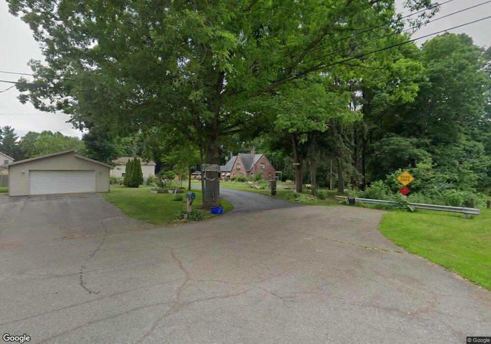
905 W Wilkinson Rd Owosso, MI 48867
Estimated Value: $321,000 - $419,000
3
Beds
3
Baths
1,616
Sq Ft
$231/Sq Ft
Est. Value
About This Home
This home is located at 905 W Wilkinson Rd, Owosso, MI 48867 and is currently estimated at $373,988, approximately $231 per square foot. 905 W Wilkinson Rd is a home located in Shiawassee County with nearby schools including Owosso High School, Owosso Sda School, and St. Paul School.
Ownership History
Date
Name
Owned For
Owner Type
Purchase Details
Closed on
Jul 13, 2016
Sold by
Alexander Paula K
Bought by
Ellsworth Heldi L and Ellsworth E
Current Estimated Value
Home Financials for this Owner
Home Financials are based on the most recent Mortgage that was taken out on this home.
Original Mortgage
$152,000
Outstanding Balance
$121,329
Interest Rate
3.66%
Mortgage Type
New Conventional
Estimated Equity
$252,659
Purchase Details
Closed on
Jan 7, 1998
Sold by
Schmidt Tammy P
Bought by
Schmidt Michael P
Create a Home Valuation Report for This Property
The Home Valuation Report is an in-depth analysis detailing your home's value as well as a comparison with similar homes in the area
Home Values in the Area
Average Home Value in this Area
Purchase History
| Date | Buyer | Sale Price | Title Company |
|---|---|---|---|
| Ellsworth Heldi L | $190,000 | -- | |
| Schmidt Michael P | -- | -- |
Source: Public Records
Mortgage History
| Date | Status | Borrower | Loan Amount |
|---|---|---|---|
| Open | Ellsworth Heldi L | $152,000 |
Source: Public Records
Tax History Compared to Growth
Tax History
| Year | Tax Paid | Tax Assessment Tax Assessment Total Assessment is a certain percentage of the fair market value that is determined by local assessors to be the total taxable value of land and additions on the property. | Land | Improvement |
|---|---|---|---|---|
| 2025 | $3,695 | $193,500 | $0 | $0 |
| 2024 | $3,769 | $173,600 | $0 | $0 |
| 2023 | $1,395 | $164,600 | $0 | $0 |
| 2022 | $1,328 | $151,300 | $0 | $0 |
| 2021 | $3,325 | $140,400 | $0 | $0 |
| 2020 | $3,070 | $125,200 | $0 | $0 |
| 2019 | $3,013 | $104,700 | $0 | $0 |
| 2018 | $3,043 | $95,300 | $0 | $0 |
| 2017 | $2,459 | $97,900 | $0 | $0 |
| 2016 | -- | $97,900 | $0 | $0 |
| 2015 | -- | $91,200 | $0 | $0 |
| 2014 | $10 | $82,200 | $0 | $0 |
Source: Public Records
Map
Nearby Homes
- 2015 Sunset Dr
- 700 Curwood Rd
- 1588 N Chipman Rd
- 2706 N M-52 Hwy
- 502 Dean Dr
- 1217 Hanover St
- 1406 Buckley Dr
- 1104 Riverside Dr
- 705 Campbell Dr
- 1339 Olmstead St
- 916 N Shiawassee St
- 930 Pine St
- 1004 N Ball St
- 815 Pine St
- 1475 N Water St
- 707 W King St
- 723 Adams St
- 641 N Shiawassee St
- 917 N Hickory St
- 921 Dingwall Dr
- 905 W Wilkinson Rd
- 905 W Wilkinson Rd
- 1995 Osaukie Rd
- 1975 Osaukie Rd
- 1945 Osaukie Rd
- 2001 Sunset Dr
- 2000 Sunset Dr
- 1937 Osaukie Rd
- 2005 Sunset Dr
- 1960 Osaukie Rd
- 0 Sunset Dr Unit 218055077
- 0 Sunset Dr Unit 30009672
- 0 Sunset Dr Unit 30052498
- 0 Sunset Dr Unit 4728955
- 0 Sunset Dr Unit G31263884
- 0 Sunset Dr Unit 2298662
- 2006 Sunset Dr
- 1942 Osaukie Rd
- 2013 Sunset Dr
- 2013 Sunset Dr