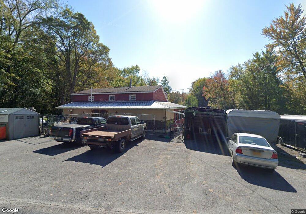
9052 High Bridge Rd Port Byron, NY 13140
Estimated Value: $138,000 - $176,000
3
Beds
1
Bath
1,296
Sq Ft
$123/Sq Ft
Est. Value
About This Home
This home is located at 9052 High Bridge Rd, Port Byron, NY 13140 and is currently estimated at $160,046, approximately $123 per square foot. 9052 High Bridge Rd is a home located in Cayuga County with nearby schools including A.A. Gates Elementary School and Port Byron Senior High School.
Ownership History
Date
Name
Owned For
Owner Type
Purchase Details
Closed on
Mar 4, 2004
Sold by
Cummins Dean D
Bought by
Winchell Michael
Current Estimated Value
Purchase Details
Closed on
Feb 9, 2004
Sold by
Secretary Of Housing And Urban
Bought by
Pollock Gregory W
Purchase Details
Closed on
Oct 10, 2003
Sold by
Washington Mutual Bank Fa
Bought by
Secretary Of Housing & Urban Development
Purchase Details
Closed on
Sep 4, 2003
Sold by
Kunz Maria
Bought by
Washington Mutual Bank Fa
Purchase Details
Closed on
Nov 18, 1999
Sold by
Alcock and Nancy
Bought by
Kunz Maria
Create a Home Valuation Report for This Property
The Home Valuation Report is an in-depth analysis detailing your home's value as well as a comparison with similar homes in the area
Home Values in the Area
Average Home Value in this Area
Purchase History
| Date | Buyer | Sale Price | Title Company |
|---|---|---|---|
| Winchell Michael | $26,000 | A | |
| Pollock Gregory W | $15,300 | A A | |
| Secretary Of Housing & Urban Development | $53,371 | Shapiro & Dicaro | |
| Washington Mutual Bank Fa | $53,371 | Shapiro & Dicaro | |
| Kunz Maria | $47,500 | Mannion & Copani |
Source: Public Records
Tax History Compared to Growth
Tax History
| Year | Tax Paid | Tax Assessment Tax Assessment Total Assessment is a certain percentage of the fair market value that is determined by local assessors to be the total taxable value of land and additions on the property. | Land | Improvement |
|---|---|---|---|---|
| 2024 | $1,831 | $50,000 | $23,700 | $26,300 |
| 2023 | $2,245 | $50,000 | $23,700 | $26,300 |
| 2022 | $1,674 | $50,000 | $23,700 | $26,300 |
| 2021 | $1,592 | $50,000 | $23,700 | $26,300 |
| 2020 | $1,404 | $50,000 | $23,700 | $26,300 |
| 2019 | $783 | $50,000 | $23,700 | $26,300 |
| 2018 | $1,350 | $50,000 | $23,700 | $26,300 |
| 2017 | $1,321 | $50,000 | $23,700 | $26,300 |
| 2016 | $1,279 | $50,000 | $23,700 | $26,300 |
| 2015 | -- | $50,000 | $23,700 | $26,300 |
| 2014 | -- | $50,000 | $23,700 | $26,300 |
Source: Public Records
Map
Nearby Homes
- 1274 Haiti Rd
- 1756 New York Central Rd
- 11 Canal St
- 5 Canal St
- 1 Curtis St
- 179 Main St
- 134 Main St
- 9762 State Route 38
- 8129 High St
- 8089 State Route 90
- 10179 Aldrich Rd
- 13443 Seneca St
- 13797 Old Rt 31 (Rte 89) E
- 7959 State Street Rd
- 1568 High St
- 2653 Washington St
- 1607 Grand Ave
- 2732 Green St
- 8914 Jackson St
- 2736 E Brutus St
- 1179 Updyke Rd
- 9032 High Bridge Rd
- 9093 High Bridge Rd
- 9031 High Bridge Rd Unit 1
- 9031 High Bridge Rd
- 1158 Osbourne Rd
- 1217 Updyke Rd
- 1154 Osborne Rd
- 1228 Berger Rd
- 1256 Berger Rd
- 00 High Bridge Rd
- 000 Off Egypt- Montana Rd
- 0 Loop Rd Unit S268407
- 000 State Route 31
- 00 W W Loop Rd Rd
- 1129 Osborne Rd
- 1251 Berger Rd
- 8972 High Bridge Rd
- 1276 Berger Rd
- 9162 High Bridge Rd