9055 N 600 W Decatur, IN 46733
Estimated Value: $332,000 - $402,000
4
Beds
3
Baths
2,820
Sq Ft
$128/Sq Ft
Est. Value
About This Home
This home is located at 9055 N 600 W, Decatur, IN 46733 and is currently estimated at $360,749, approximately $127 per square foot. 9055 N 600 W is a home located in Adams County with nearby schools including Southeast Elementary School, Bellmont Elementary School, and Bellmont Middle School.
Create a Home Valuation Report for This Property
The Home Valuation Report is an in-depth analysis detailing your home's value as well as a comparison with similar homes in the area
Home Values in the Area
Average Home Value in this Area
Tax History Compared to Growth
Tax History
| Year | Tax Paid | Tax Assessment Tax Assessment Total Assessment is a certain percentage of the fair market value that is determined by local assessors to be the total taxable value of land and additions on the property. | Land | Improvement |
|---|---|---|---|---|
| 2024 | $2,302 | $278,800 | $26,900 | $251,900 |
| 2023 | $2,513 | $262,500 | $26,900 | $235,600 |
| 2022 | $2,319 | $250,800 | $26,900 | $223,900 |
| 2021 | $2,145 | $230,400 | $23,700 | $206,700 |
| 2020 | $1,977 | $220,200 | $23,700 | $196,500 |
| 2019 | $1,720 | $207,100 | $23,700 | $183,400 |
| 2018 | $1,791 | $200,700 | $23,700 | $177,000 |
| 2017 | $1,777 | $198,800 | $22,700 | $176,100 |
| 2016 | $1,081 | $162,000 | $22,700 | $139,300 |
| 2014 | $862 | $151,700 | $22,700 | $129,000 |
| 2013 | $1,088 | $150,600 | $22,700 | $127,900 |
Source: Public Records
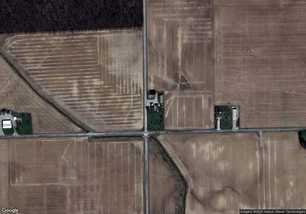
Map
Nearby Homes
- 11063 N 700 E
- 6010 N 600 W
- 7805 N 600 E
- 3803 U S 224
- 6068 N West St
- 16205 Winchester Rd
- 5020 N 400 W
- 5933 Hoagland Rd
- 5144 E 1200 N-90 Unit 90
- 4035 E 800 N
- 2591 Hogans Alley
- 2593 Hogans Alley
- 8618 Hoagland Rd
- 305 Piper Ct
- Harmony Plan at Crosswind Lakes
- Chatham Plan at Crosswind Lakes
- 406 Piper Ct
- 410 Piper Ct
- 1031 Palmer's Pass
- 10225 N 100 W