9055 N Highway 10 Tahlequah, OK 74464
Estimated Value: $106,839 - $401,000
3
Beds
1
Bath
1,552
Sq Ft
$155/Sq Ft
Est. Value
About This Home
This home is located at 9055 N Highway 10, Tahlequah, OK 74464 and is currently estimated at $240,946, approximately $155 per square foot. 9055 N Highway 10 is a home located in Cherokee County with nearby schools including Lowrey School.
Ownership History
Date
Name
Owned For
Owner Type
Purchase Details
Closed on
Nov 20, 2023
Sold by
Sweeney Mark S
Bought by
Sweeney Mark S and Moran Nancy
Current Estimated Value
Purchase Details
Closed on
Mar 15, 2011
Sold by
Sweeney Sophia J and Sweeney Sophia
Bought by
Sweeney Mark
Purchase Details
Closed on
Mar 30, 1999
Sold by
Davies James N and Davies Linda L
Bought by
Mark and Sophia Sweeney
Purchase Details
Closed on
Jul 17, 1993
Sold by
Keith and Sara Dunlap
Bought by
Davies James N and Davies Linda L
Create a Home Valuation Report for This Property
The Home Valuation Report is an in-depth analysis detailing your home's value as well as a comparison with similar homes in the area
Home Values in the Area
Average Home Value in this Area
Purchase History
| Date | Buyer | Sale Price | Title Company |
|---|---|---|---|
| Sweeney Mark S | -- | None Listed On Document | |
| Sweeney Mark S | -- | None Listed On Document | |
| Sweeney Mark S | -- | None Listed On Document | |
| Sweeney Mark | -- | None Available | |
| Mark | $55,000 | -- | |
| Davies James N | $34,000 | -- |
Source: Public Records
Tax History Compared to Growth
Tax History
| Year | Tax Paid | Tax Assessment Tax Assessment Total Assessment is a certain percentage of the fair market value that is determined by local assessors to be the total taxable value of land and additions on the property. | Land | Improvement |
|---|---|---|---|---|
| 2025 | $483 | $6,543 | $825 | $5,718 |
| 2024 | $483 | $6,256 | $558 | $5,698 |
| 2023 | $483 | $5,959 | $413 | $5,546 |
| 2022 | $557 | $7,108 | $771 | $6,337 |
| 2021 | $529 | $6,769 | $734 | $6,035 |
| 2020 | $461 | $6,447 | $699 | $5,748 |
| 2019 | $490 | $6,140 | $666 | $5,474 |
| 2018 | $468 | $5,848 | $634 | $5,214 |
| 2017 | $451 | $5,570 | $305 | $5,265 |
| 2016 | $431 | $5,305 | $291 | $5,014 |
| 2015 | $351 | $5,052 | $344 | $4,708 |
| 2014 | $334 | $4,811 | $344 | $4,467 |
Source: Public Records
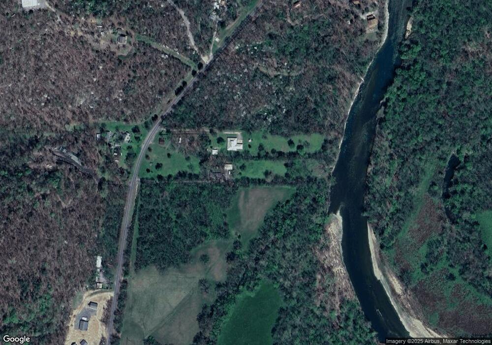
Map
Nearby Homes
- 8119 N 544 Rd
- 22449 E 664 Rd
- 00000 E 660 Rd
- 8195 Highway 82a
- 18079 E 680 Rd
- 11457 N 510 Rd
- 12562 N Webster Rd
- 0 N 510 Rd Unit 2543283
- 0 N 510 Rd Unit 2543284
- 0 N 510 Rd Unit 2543190
- 0 N 510 Rd Unit 2543294
- 0 N 510 Rd Unit 2543293
- 0 N 510 Rd Unit 2546232
- 0 N 510 Rd Unit 2543297
- 17844 E 688 Rd
- 4422 Highway 82a
- 105 Summit Ridge Dr
- 21088 E Steely Hollow Rd
- 206 Alder Way
- 202 Alder Way
- 9105 N Highway 10
- 9105 N Highway 10
- 9165 N Highway 10
- 9165 N Highway 10
- 8951 N Highway 10
- 8957 Highway 10
- 9211 N Highway 10
- 8796 Oklahoma 10
- 8796 Highway 10
- 9169 N Hwy 10
- 8948 N Highway 10
- 8794 Highway 10
- 8796 N Highway 10
- 8700 N Hwy 10
- 8630 Highway 10
- 21180 E 663 Rd
- 8622 Highway 10
- 8647 N Highway 10
- 8647 N Hwy 10
- 8657 N Highway 10