9058 W Burt Rd Saint Charles, MI 48655
Estimated Value: $281,000 - $621,337
3
Beds
2
Baths
1,752
Sq Ft
$262/Sq Ft
Est. Value
About This Home
This home is located at 9058 W Burt Rd, Saint Charles, MI 48655 and is currently estimated at $458,446, approximately $261 per square foot. 9058 W Burt Rd is a home with nearby schools including Big Rock Elementary School, Chesaning Middle School, and Chesaning Union High School.
Ownership History
Date
Name
Owned For
Owner Type
Purchase Details
Closed on
Jun 24, 2011
Sold by
Mahoney Kenneth M and Mahoney Linda L
Bought by
Mahoney John P and Mahoney Doris A
Current Estimated Value
Home Financials for this Owner
Home Financials are based on the most recent Mortgage that was taken out on this home.
Original Mortgage
$190,000
Outstanding Balance
$105,300
Interest Rate
4.63%
Mortgage Type
Future Advance Clause Open End Mortgage
Estimated Equity
$353,146
Purchase Details
Closed on
Apr 16, 2001
Sold by
Mahoney Bernard A
Bought by
Mahoney Kenneth and Mahoney Linda L
Create a Home Valuation Report for This Property
The Home Valuation Report is an in-depth analysis detailing your home's value as well as a comparison with similar homes in the area
Home Values in the Area
Average Home Value in this Area
Purchase History
| Date | Buyer | Sale Price | Title Company |
|---|---|---|---|
| Mahoney John P | $235,000 | -- | |
| Mahoney Kenneth | $230,000 | -- |
Source: Public Records
Mortgage History
| Date | Status | Borrower | Loan Amount |
|---|---|---|---|
| Open | Mahoney John P | $190,000 |
Source: Public Records
Tax History Compared to Growth
Tax History
| Year | Tax Paid | Tax Assessment Tax Assessment Total Assessment is a certain percentage of the fair market value that is determined by local assessors to be the total taxable value of land and additions on the property. | Land | Improvement |
|---|---|---|---|---|
| 2025 | $5,589 | $304,600 | $0 | $0 |
| 2024 | $1,493 | $294,100 | $0 | $0 |
| 2023 | $1,422 | $251,900 | $0 | $0 |
| 2022 | $4,991 | $233,800 | $0 | $0 |
| 2021 | $4,602 | $230,000 | $0 | $0 |
| 2020 | $4,578 | $257,100 | $0 | $0 |
| 2019 | $4,414 | $252,700 | $0 | $0 |
| 2018 | $1,240 | $251,900 | $0 | $0 |
| 2017 | $3,857 | $196,500 | $0 | $0 |
| 2016 | $3,264 | $188,700 | $0 | $0 |
| 2014 | -- | $176,600 | $0 | $63,700 |
| 2013 | -- | $173,400 | $0 | $0 |
Source: Public Records
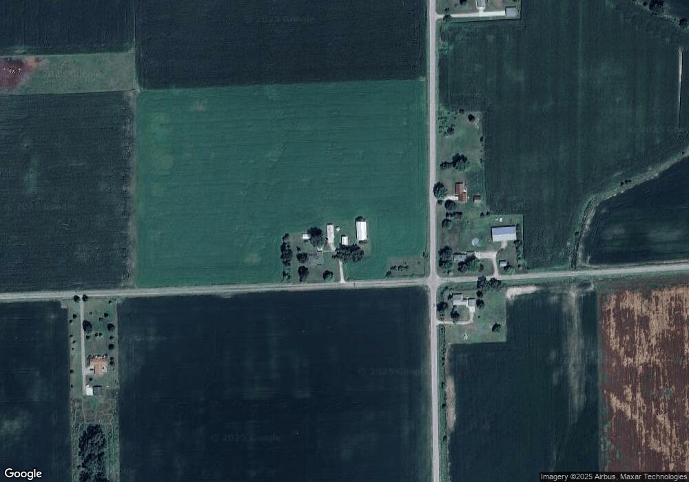
Map
Nearby Homes
- 14600 Corunna Rd
- 12034 Carr Rd
- 603 N Line St
- 618 N 1st St
- 514 Jackson St
- 5997 Fergus Rd
- 300 Brady St
- 119 Andres St
- 829 Brady St
- V/L #4 Brookshire Dr
- V/L #5 Brookshire Dr
- V/L W Liberty St
- 12465 Fergus Rd
- 631 Center St
- 202 S Clark St
- 705 E Liberty St
- 910 W Brady Rd
- 317 S Clark St
- 612 Sunnyside Dr
- 201 Mason St
- 12937 Stuart Rd
- 15800 Burt Rd
- 12997 Stuart Rd
- 13005 Stuart Rd
- 12753 Stuart Rd
- 12707 Stuart Rd
- 13188 Stuart Rd
- 13245 Stuart Rd
- 12905 Mahoney Rd
- 12511 Stuart Rd
- 13466 Stuart Rd
- VL Stuart Rd
- 0 Stuart Rd
- 12405 Stuart Rd
- 8513 Burt Rd
- 12376 Stuart Rd
- 13551 Stuart Rd
- 12301 Stuart Rd
- 12438 Mahoney Rd
- 8431 W Burt Rd