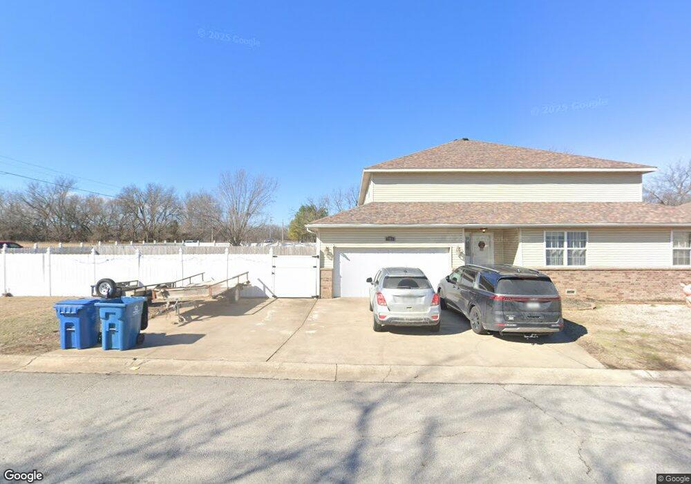
906-908 Briarview Dr Carl Junction, MO 64834
Briarbrook NeighborhoodEstimated Value: $510,000
Studio
6
Baths
4,910
Sq Ft
$104/Sq Ft
Est. Value
About This Home
This home is located at 906-908 Briarview Dr, Carl Junction, MO 64834 and is currently estimated at $510,000, approximately $103 per square foot. 906-908 Briarview Dr is a home located in Jasper County with nearby schools including Carl Junction Primary School (K-1), Carl Junction Intermediate School, and Carl Junction Primary School (2-3).
Ownership History
Date
Name
Owned For
Owner Type
Purchase Details
Closed on
Sep 17, 2018
Sold by
Mickey Jason and Mickey Kristi L
Bought by
Armstrong Matthew M and Armstrong Whittney P
Current Estimated Value
Home Financials for this Owner
Home Financials are based on the most recent Mortgage that was taken out on this home.
Original Mortgage
$270,019
Outstanding Balance
$234,501
Interest Rate
4.5%
Mortgage Type
FHA
Estimated Equity
$275,499
Purchase Details
Closed on
May 4, 2009
Sold by
Mickey Jason and Mickey Kristi Lynn
Bought by
Mickey Jason and Mickey Kristi Lynn
Home Financials for this Owner
Home Financials are based on the most recent Mortgage that was taken out on this home.
Original Mortgage
$188,560
Interest Rate
4.84%
Mortgage Type
Stand Alone Refi Refinance Of Original Loan
Purchase Details
Closed on
Oct 28, 2005
Sold by
Hoaglins Inc
Bought by
Mickey Jason and Mickey Michael
Create a Home Valuation Report for This Property
The Home Valuation Report is an in-depth analysis detailing your home's value as well as a comparison with similar homes in the area
Home Values in the Area
Average Home Value in this Area
Purchase History
We collect this data history from publicly available records. To have your information removed, we recommend requesting removal directly through your county’s website.
| Date | Buyer | Sale Price | Title Company |
|---|---|---|---|
| Armstrong Matthew M | -- | -- | |
| Mickey Jason | -- | Abbey | |
| Mickey Jason | -- | Fatco |
Source: Public Records
Mortgage History
We collect this data history from publicly available records. To have your information removed, we recommend requesting removal directly through your county’s website.
| Date | Status | Borrower | Loan Amount |
|---|---|---|---|
| Open | Armstrong Matthew M | $270,019 | |
| Previous Owner | Mickey Jason | $188,560 |
Source: Public Records
Tax History
| Year | Tax Paid | Tax Assessment Tax Assessment Total Assessment is a certain percentage of the fair market value that is determined by local assessors to be the total taxable value of land and additions on the property. | Land | Improvement |
|---|---|---|---|---|
| 2025 | $3,107 | $57,930 | $3,690 | $54,240 |
| 2024 | $3,117 | $49,000 | $3,690 | $45,310 |
| 2023 | $3,117 | $49,000 | $3,690 | $45,310 |
| 2022 | $3,217 | $50,560 | $3,690 | $46,870 |
| 2021 | $2,785 | $50,560 | $3,690 | $46,870 |
| 2020 | $2,597 | $46,530 | $3,690 | $42,840 |
| 2019 | $2,470 | $46,530 | $3,690 | $42,840 |
| 2018 | $2,418 | $45,840 | $0 | $0 |
| 2017 | $2,424 | $45,840 | $0 | $0 |
| 2016 | $2,459 | $46,890 | $0 | $0 |
| 2015 | $2,303 | $46,890 | $0 | $0 |
| 2014 | $2,303 | $44,790 | $0 | $0 |
Source: Public Records
Map
Nearby Homes
- 913 W Briarbrook Ln
- 104 Briar Meadow Dr
- 1023 Copper Oaks Dr
- 124 Briar Meadow Dr
- 907 Silver Oaks Dr
- 910 Silver Oaks
- 5854 County Rd 263
- 908 Silver Oaks Dr
- 232 Hickory Place
- 817 Black Thorn Dr
- 118 Hedge Dr
- 25949 Paper Loop
- XXX Lone Elm
- 710 Briarbrook Dr
- 708 Danica Jo Ln
- 126 N Windwood
- 45 Tanglewood Dr
- LOT 4C Hwy 171 & Fir Rd Unit 4C
- 312 Copper Oaks Dr
- 25636 Fir Rd
- 906 Briarview
- 908 Briarview Dr
- 910 Briarview Dr
- 912 Briarview Dr
- 913 Briarview Dr
- 911 Briarview
- 909 Briarview
- 916 Briarview
- 914-916 Briarview
- 914 Briarview
- 914 & 916 Briarview Dr
- 915 Briarview Dr
- 919 Briarview
- 917 Briarview
- 918 Briarview
- 914 W Briarbrook Ln
- 914 W Briarbrook Ln Unit 1
- 1201 S Gate Rd
- 916 W Briarbrook Ln
- 921 Briarview
Your Personal Tour Guide
Ask me questions while you tour the home.