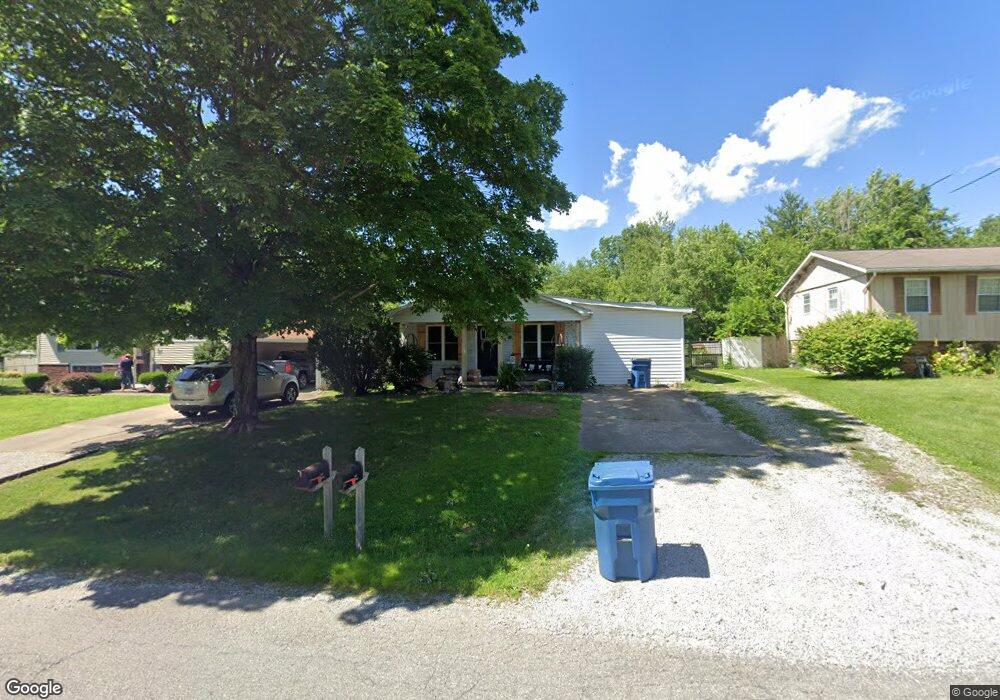
906 Airport Rd Mount Vernon, IL 62864
Estimated Value: $139,637 - $175,000
3
Beds
2
Baths
1,584
Sq Ft
$98/Sq Ft
Est. Value
About This Home
This home is located at 906 Airport Rd, Mount Vernon, IL 62864 and is currently estimated at $155,409, approximately $98 per square foot. 906 Airport Rd is a home located in Jefferson County with nearby schools including Summersville Grade School, Mount Vernon High School, and St Marys.
Ownership History
Date
Name
Owned For
Owner Type
Purchase Details
Closed on
Jun 11, 2010
Sold by
Warren Nicholas A and Warren Amy M
Bought by
Bertschi Brian and Bertschi Melissa
Current Estimated Value
Home Financials for this Owner
Home Financials are based on the most recent Mortgage that was taken out on this home.
Original Mortgage
$91,800
Outstanding Balance
$61,766
Interest Rate
5.05%
Mortgage Type
New Conventional
Estimated Equity
$93,643
Create a Home Valuation Report for This Property
The Home Valuation Report is an in-depth analysis detailing your home's value as well as a comparison with similar homes in the area
Home Values in the Area
Average Home Value in this Area
Purchase History
| Date | Buyer | Sale Price | Title Company |
|---|---|---|---|
| Bertschi Brian | $90,000 | None Available |
Source: Public Records
Mortgage History
| Date | Status | Borrower | Loan Amount |
|---|---|---|---|
| Open | Bertschi Brian | $91,800 |
Source: Public Records
Tax History Compared to Growth
Tax History
| Year | Tax Paid | Tax Assessment Tax Assessment Total Assessment is a certain percentage of the fair market value that is determined by local assessors to be the total taxable value of land and additions on the property. | Land | Improvement |
|---|---|---|---|---|
| 2024 | $1,592 | $27,238 | $1,925 | $25,313 |
| 2023 | $1,477 | $25,146 | $1,777 | $23,369 |
| 2022 | $1,426 | $22,058 | $1,559 | $20,499 |
| 2021 | $1,356 | $21,008 | $1,485 | $19,523 |
| 2020 | $1,990 | $26,238 | $1,388 | $24,850 |
| 2019 | $1,972 | $26,238 | $1,388 | $24,850 |
| 2018 | $1,951 | $26,238 | $1,388 | $24,850 |
| 2017 | $1,912 | $26,238 | $1,388 | $24,850 |
| 2016 | $1,858 | $26,238 | $1,388 | $24,850 |
| 2015 | $1,826 | $26,238 | $1,388 | $24,850 |
| 2014 | $1,570 | $26,238 | $1,388 | $24,850 |
| 2013 | $1,570 | $24,752 | $1,309 | $23,443 |
Source: Public Records
Map
Nearby Homes
- 820 Airport Rd
- 820 White Ave
- 717 White Ave
- 415 Marteeny St
- 909 & 905 Fairfield Rd
- 601 Marteeny St
- 14009 N Tolle Ln
- 14063 N Link Ln
- 14625 Illinois 15
- 14013 N Tolle Ln
- 213 S 2nd St
- 14322 N Memory Ln
- 1300 N Tolle Ln
- 300 S 4th St
- 408 N 6th St
- 14017 E Eastland Rd
- 313 Castleton Ave
- 205 S 6th St
- 317 N 7th St
- 716 North St
- 904 Airport Rd
- 908 Airport Rd
- 304 Liebengood Rd
- 912 Airport Rd
- 300 Liebengood Rd
- 913 Airport Rd
- 909 Airport Rd
- 917 Airport Rd
- 905 Airport Rd
- 914 Airport Rd
- 921 Airport Rd
- 901 Airport Rd
- 840 Airport Rd
- 310 Liebengood Rd
- 310 Liebengood Rd
- 925 Airport Rd
- 916 Airport Rd
- 837 Airport Rd
- 312 Liebengood Rd
- 929 Airport Rd