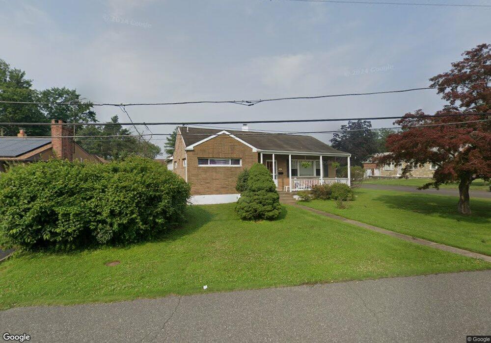
906 Ann St Bensalem, PA 19020
Estimated Value: $363,980 - $402,000
2
Beds
1
Bath
1,023
Sq Ft
$370/Sq Ft
Est. Value
About This Home
This home is located at 906 Ann St, Bensalem, PA 19020 and is currently estimated at $378,995, approximately $370 per square foot. 906 Ann St is a home located in Bucks County with nearby schools including Robert K. Shafer Middle School, School Lane Charter School, and St Charles Borromeo School.
Ownership History
Date
Name
Owned For
Owner Type
Purchase Details
Closed on
May 31, 2006
Sold by
Mayberry Teri S and Mayberry William V
Bought by
Cocozza William and Cocozza Diane
Current Estimated Value
Home Financials for this Owner
Home Financials are based on the most recent Mortgage that was taken out on this home.
Original Mortgage
$145,000
Outstanding Balance
$85,486
Interest Rate
6.62%
Mortgage Type
Unknown
Estimated Equity
$293,509
Purchase Details
Closed on
Dec 21, 1990
Bought by
Mayberry Teri S and Mayberry William
Create a Home Valuation Report for This Property
The Home Valuation Report is an in-depth analysis detailing your home's value as well as a comparison with similar homes in the area
Home Values in the Area
Average Home Value in this Area
Purchase History
| Date | Buyer | Sale Price | Title Company |
|---|---|---|---|
| Cocozza William | $265,000 | None Available | |
| Mayberry Teri S | $89,000 | -- |
Source: Public Records
Mortgage History
| Date | Status | Borrower | Loan Amount |
|---|---|---|---|
| Open | Cocozza William | $145,000 |
Source: Public Records
Tax History Compared to Growth
Tax History
| Year | Tax Paid | Tax Assessment Tax Assessment Total Assessment is a certain percentage of the fair market value that is determined by local assessors to be the total taxable value of land and additions on the property. | Land | Improvement |
|---|---|---|---|---|
| 2025 | $4,017 | $18,400 | $4,280 | $14,120 |
| 2024 | $4,017 | $18,400 | $4,280 | $14,120 |
| 2023 | $3,903 | $18,400 | $4,280 | $14,120 |
| 2022 | $3,881 | $18,400 | $4,280 | $14,120 |
| 2021 | $3,881 | $18,400 | $4,280 | $14,120 |
| 2020 | $3,842 | $18,400 | $4,280 | $14,120 |
| 2019 | $3,756 | $18,400 | $4,280 | $14,120 |
| 2018 | $3,669 | $18,400 | $4,280 | $14,120 |
| 2017 | $3,646 | $18,400 | $4,280 | $14,120 |
| 2016 | $3,646 | $18,400 | $4,280 | $14,120 |
| 2015 | -- | $18,400 | $4,280 | $14,120 |
| 2014 | -- | $18,400 | $4,280 | $14,120 |
Source: Public Records
Map
Nearby Homes
- 1202 Clinton Ave
- 1039 Clinton Ave
- 1080 Buttonwood Ave
- 827 Mitchell Ave
- 1126 Evelyn Ave
- 1236 Whittier Ave
- 1103 Colonial Ave
- 4161 Orchard Ln
- 4471 Ernie Davis Cir
- 124 Meadow Ln
- 227 Dimarco Dr
- 4374 Deerpath Ln
- 1155 Regina Ave
- 102 Village Ln
- 3727 Pitt Place
- 1742 Paradise Ln
- 4274 Lawnside Rd
- 1032 Sunset Ln
- 3750 00 Clarendon Unit 221
- 2025 State Rd
- 872 Ann St
- 1187 Mildred Ave
- 1135 Mildred Ave
- 1150 Mildred Ave
- 926 Ann St
- 854 Ann St
- 875 Ann St
- 1134 Mildred Ave
- 1144 Highland Ave
- 855 Ann St
- 1125 Mildred Ave
- 1126 Mildred Ave
- 1132 Highland Ave
- 1180 Highland Ave
- 1193 Mildred Ave
- 1126 Highland Ave
- 1122 Mildred Ave
- 935 Ann St
- 1133 Bristol Pike
- 1155 Bristol Pike