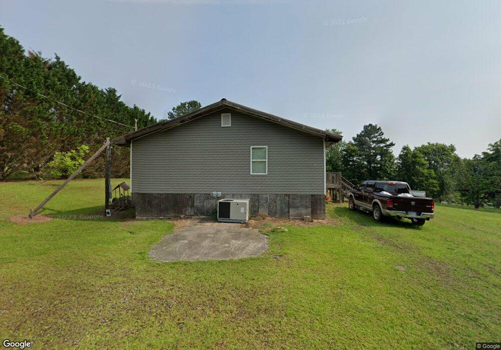
906 Brock Cir Ringgold, GA 30736
Beaumont NeighborhoodEstimated Value: $206,000 - $302,000
--
Bed
--
Bath
2,040
Sq Ft
$126/Sq Ft
Est. Value
About This Home
This home is located at 906 Brock Cir, Ringgold, GA 30736 and is currently estimated at $257,459, approximately $126 per square foot. 906 Brock Cir is a home with nearby schools including Woodstation Elementary School, Heritage Middle School, and Heritage High School.
Ownership History
Date
Name
Owned For
Owner Type
Purchase Details
Closed on
Apr 22, 2022
Sold by
Redman Christopher M
Bought by
Adair Lisa Renee
Current Estimated Value
Home Financials for this Owner
Home Financials are based on the most recent Mortgage that was taken out on this home.
Original Mortgage
$134,224
Outstanding Balance
$125,959
Interest Rate
4.16%
Mortgage Type
New Conventional
Estimated Equity
$131,500
Purchase Details
Closed on
Oct 20, 2017
Sold by
Dempsey Deborah Jean
Bought by
Redman Cristopher M
Home Financials for this Owner
Home Financials are based on the most recent Mortgage that was taken out on this home.
Original Mortgage
$42,016
Interest Rate
3.83%
Mortgage Type
New Conventional
Purchase Details
Closed on
Mar 23, 2016
Sold by
Dempsey James Curtis
Bought by
Dempsey Deborah Jean and Teems Evalean
Create a Home Valuation Report for This Property
The Home Valuation Report is an in-depth analysis detailing your home's value as well as a comparison with similar homes in the area
Home Values in the Area
Average Home Value in this Area
Purchase History
| Date | Buyer | Sale Price | Title Company |
|---|---|---|---|
| Adair Lisa Renee | $108,500 | -- | |
| Redman Cristopher M | $18,000 | -- | |
| Dempsey Deborah Jean | -- | -- |
Source: Public Records
Mortgage History
| Date | Status | Borrower | Loan Amount |
|---|---|---|---|
| Open | Adair Lisa Renee | $134,224 | |
| Previous Owner | Redman Cristopher M | $42,016 |
Source: Public Records
Tax History Compared to Growth
Tax History
| Year | Tax Paid | Tax Assessment Tax Assessment Total Assessment is a certain percentage of the fair market value that is determined by local assessors to be the total taxable value of land and additions on the property. | Land | Improvement |
|---|---|---|---|---|
| 2024 | $1,263 | $59,198 | $8,441 | $50,757 |
| 2023 | $972 | $46,066 | $8,441 | $37,625 |
| 2022 | $799 | $35,679 | $8,040 | $27,639 |
| 2021 | $196 | $9,358 | $8,040 | $1,318 |
| 2020 | $208 | $8,974 | $7,656 | $1,318 |
| 2019 | $210 | $8,974 | $7,656 | $1,318 |
| 2018 | $222 | $8,974 | $7,656 | $1,318 |
Source: Public Records
Map
Nearby Homes
- 45 Asheville Dr
- 149 Harden Dr
- 40 Harden Dr
- 133 Wood Meadow Trail
- 555 Dedmon Rd
- 478 Dedmon Rd
- 8690 Alabama Hwy
- 477 Hulsey Dr
- 275 Southern Dr
- 56 Ginger Dr
- 224 Heritage Place
- 405 Southern Dr
- 137 Dylan Dr
- 81 Shrader Ln
- 161 Teal Dr
- 0 Alabama Hwy Unit 10586300
- 0 Alabama Hwy Unit 1518818
- 1400 Poplar Springs Rd
- 2578 Poplar Springs Rd
- 2095 Baggett Rd
- 94 Wildwood Ln
- 978 Brock Cir
- 115 Asheville Dr
- 0 Patty Rd
- 0 Patty Rd Unit 1218005
- 0 Patty Rd Unit 1206336
- 0 Patty Rd Unit 1118032
- 56 Patty Rd
- 87 Asheville Dr
- 133 Asheville Dr
- 121 Wildwood Ln
- 742 Brock Cir
- 851 Brock Cir
- 1004 Brock Cir
- 63 Asheville Dr
- 147 Asheville Dr
- 99 Patty Rd
- 132 Patty Rd
- 90 Asheville Dr
- 210 Wildwood Ln