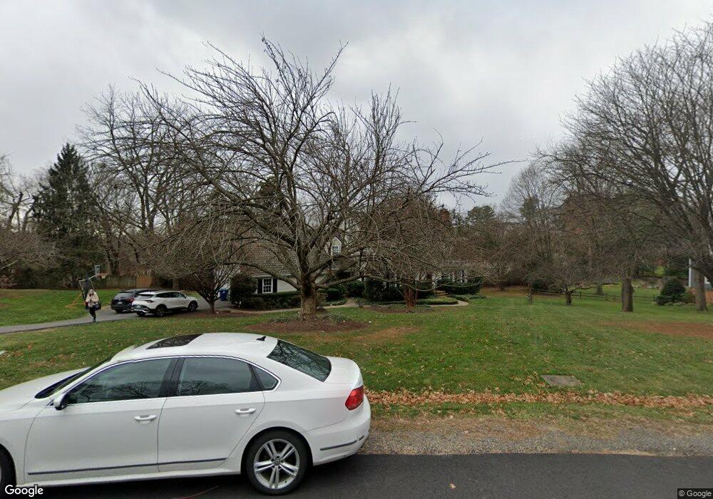
906 Countryside Ct McLean, VA 22101
Estimated Value: $2,153,956 - $2,594,000
4
Beds
4
Baths
2,541
Sq Ft
$967/Sq Ft
Est. Value
About This Home
This home is located at 906 Countryside Ct, McLean, VA 22101 and is currently estimated at $2,456,489, approximately $966 per square foot. 906 Countryside Ct is a home located in Fairfax County with nearby schools including Churchill Road Elementary School, Cooper Middle School, and Langley High School.
Ownership History
Date
Name
Owned For
Owner Type
Purchase Details
Closed on
Aug 25, 2015
Sold by
Barnes Dana and Cherry Adina
Bought by
Barnes Dana and Barnes Adina Cherry
Current Estimated Value
Home Financials for this Owner
Home Financials are based on the most recent Mortgage that was taken out on this home.
Original Mortgage
$1,077,171
Interest Rate
3.56%
Mortgage Type
New Conventional
Purchase Details
Closed on
Apr 29, 2011
Sold by
Lillard Charlotte A
Bought by
Barnes Dana and Cherry Adina
Home Financials for this Owner
Home Financials are based on the most recent Mortgage that was taken out on this home.
Original Mortgage
$1,012,500
Interest Rate
4.76%
Mortgage Type
New Conventional
Create a Home Valuation Report for This Property
The Home Valuation Report is an in-depth analysis detailing your home's value as well as a comparison with similar homes in the area
Home Values in the Area
Average Home Value in this Area
Purchase History
| Date | Buyer | Sale Price | Title Company |
|---|---|---|---|
| Barnes Dana | -- | None Available | |
| Barnes Dana | $1,350,000 | -- |
Source: Public Records
Mortgage History
| Date | Status | Borrower | Loan Amount |
|---|---|---|---|
| Previous Owner | Barnes Dana | $1,077,171 | |
| Previous Owner | Barnes Dana | $1,012,500 |
Source: Public Records
Tax History Compared to Growth
Tax History
| Year | Tax Paid | Tax Assessment Tax Assessment Total Assessment is a certain percentage of the fair market value that is determined by local assessors to be the total taxable value of land and additions on the property. | Land | Improvement |
|---|---|---|---|---|
| 2025 | $21,796 | $2,000,890 | $1,152,000 | $848,890 |
| 2024 | $21,796 | $1,844,770 | $1,021,000 | $823,770 |
| 2023 | $19,878 | $1,726,280 | $912,000 | $814,280 |
| 2022 | $19,642 | $1,683,840 | $912,000 | $771,840 |
| 2021 | $19,475 | $1,627,670 | $882,000 | $745,670 |
| 2020 | $18,628 | $1,543,980 | $802,000 | $741,980 |
| 2019 | $17,915 | $1,484,900 | $802,000 | $682,900 |
| 2018 | $16,511 | $1,435,750 | $771,000 | $664,750 |
| 2017 | $16,989 | $1,434,920 | $771,000 | $663,920 |
| 2016 | $18,074 | $1,529,770 | $771,000 | $758,770 |
Source: Public Records
Map
Nearby Homes
- 7009 Benjamin St
- 7008 Arbor Ln
- 6910 Bright Ave
- 7002 River Oaks Dr
- 7315 Georgetown Pike
- 7000 Hector Rd
- 6804 Benjamin St
- 1104 Sharon Ct
- 1052 Balls Hill Rd
- 1101 Dead Run Dr
- 725 Lawton St
- 909 Douglass Dr
- 1112 Balls Hill Rd
- 7400 Churchill Rd
- 1120 Balls Hill Rd
- 7011 Elizabeth Dr
- 1109 Ingleside Ave
- 6707 Lupine Ln
- 6884 Churchill Rd
- 7332 Old Dominion Dr
- 904 Countryside Ct
- 908 Countryside Ct
- 907 Countryside Ct
- 902 Countryside Ct
- 903 Countryside Ct
- 910 Countryside Ct
- 931 Dead Run Dr
- 7112 Georgetown Pike
- 7100 Country Meadow Ct
- 909 Countryside Ct
- 937 Dead Run Dr
- 7013 Holyrood Dr
- 7013 Duncraig Ct
- 7101 Holyrood Dr
- 939 Dead Run Dr
- 7103 Country Meadow Ct
- 7015 Duncraig Ct
- 7011 Holyrood Dr
- 7102 Country Meadow Ct
- 930 Dead Run Dr