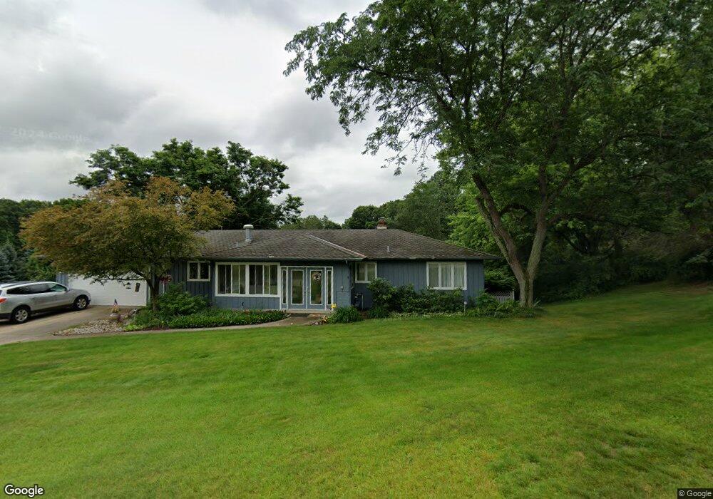
906 Cypress Ct Unit A Big Rapids, MI 49307
Estimated Value: $373,000 - $420,000
5
Beds
3
Baths
2,495
Sq Ft
$157/Sq Ft
Est. Value
About This Home
This home is located at 906 Cypress Ct Unit A, Big Rapids, MI 49307 and is currently estimated at $391,027, approximately $156 per square foot. 906 Cypress Ct Unit A is a home located in Mecosta County with nearby schools including Big Rapids High School, Crossroads Charter Academy Elementary School, and Crossroads Charter Academy Middle/High School.
Ownership History
Date
Name
Owned For
Owner Type
Purchase Details
Closed on
Jul 24, 2018
Sold by
Anderson Elisha Nicole and Anderson Charles Felisha
Bought by
Buist Dean E
Current Estimated Value
Home Financials for this Owner
Home Financials are based on the most recent Mortgage that was taken out on this home.
Original Mortgage
$172,000
Outstanding Balance
$149,393
Interest Rate
4.6%
Mortgage Type
New Conventional
Estimated Equity
$241,634
Purchase Details
Closed on
Jun 28, 2010
Sold by
Kerwin William G and Kerwin Virginia A
Bought by
Anderson Felisha Nicole
Home Financials for this Owner
Home Financials are based on the most recent Mortgage that was taken out on this home.
Original Mortgage
$192,408
Interest Rate
4.75%
Mortgage Type
FHA
Create a Home Valuation Report for This Property
The Home Valuation Report is an in-depth analysis detailing your home's value as well as a comparison with similar homes in the area
Home Values in the Area
Average Home Value in this Area
Purchase History
| Date | Buyer | Sale Price | Title Company |
|---|---|---|---|
| Buist Dean E | $182,500 | None Available | |
| Anderson Felisha Nicole | $195,000 | Lakeland Title |
Source: Public Records
Mortgage History
| Date | Status | Borrower | Loan Amount |
|---|---|---|---|
| Open | Buist Dean E | $172,000 | |
| Previous Owner | Anderson Felisha Nicole | $192,408 |
Source: Public Records
Tax History Compared to Growth
Tax History
| Year | Tax Paid | Tax Assessment Tax Assessment Total Assessment is a certain percentage of the fair market value that is determined by local assessors to be the total taxable value of land and additions on the property. | Land | Improvement |
|---|---|---|---|---|
| 2025 | $5,209 | $167,500 | $0 | $0 |
| 2024 | -- | $147,200 | $0 | $0 |
| 2023 | -- | $132,500 | $0 | $0 |
| 2022 | $4,743 | $118,700 | $0 | $0 |
| 2021 | $4,743 | $112,100 | $0 | $0 |
| 2020 | -- | -- | $0 | $0 |
| 2019 | -- | -- | $0 | $0 |
| 2018 | -- | -- | $0 | $0 |
| 2017 | -- | -- | $0 | $0 |
| 2016 | -- | -- | $0 | $0 |
| 2014 | -- | -- | $0 | $0 |
| 2013 | -- | -- | $0 | $0 |
Source: Public Records
Map
Nearby Homes
- 906 Cypress Ct
- 910 Cypress Ct
- 707 Cypress St
- 912 Cypress Ct
- 712 Cypress St
- 702 Cypress St
- 619 Cypress St
- 803 Cypress St
- 807 Cypress St
- 610 Cypress St
- 630 Magnolia St
- 702 Magnolia St
- 800 Magnolia St
- 904 Winter Ave
- 701 Magnolia St
- 918 Cherry Ave
- 908 Cherry Ave
- 816 Winter Ave
- 812 Winter Ave
- 810 Winter Ave